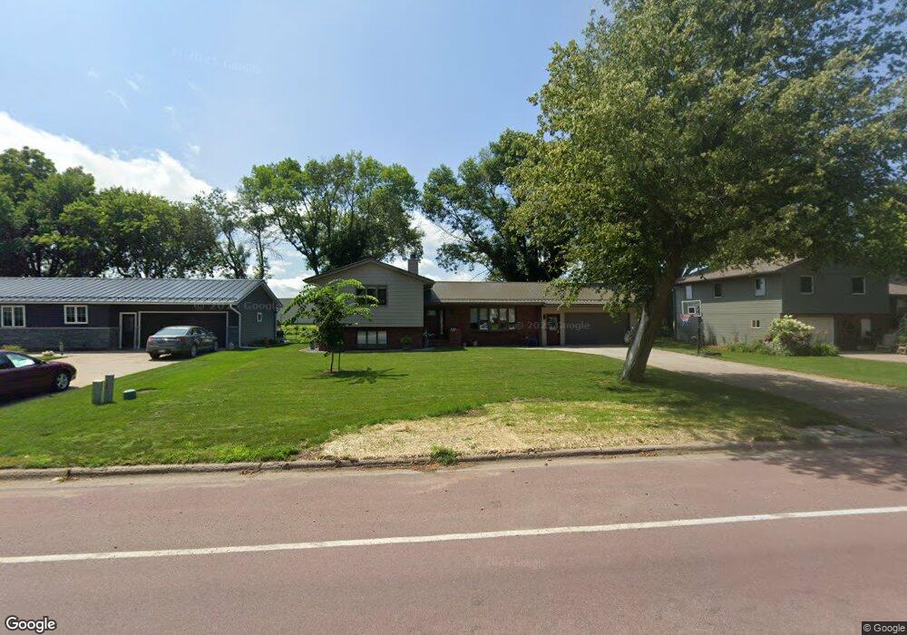
102 S Range Rd Springfield, MN 56087
Estimated Value: $221,000 - $286,000
About This Home
This home is located at 102 S Range Rd, Springfield, MN 56087 and is currently estimated at $265,916, approximately $121 per square foot. 102 S Range Rd is a home located in Brown County with nearby schools including Springfield Elementary School, Springfield Secondary School, and St. Raphael Elementary School.
Ownership History
We collect this data history from publicly available records. To have your information removed, we recommend requesting removal directly through your county’s website.
Purchase Details
Home Financials for this Owner
Home Financials are based on the most recent Mortgage that was taken out on this home.Purchase Details
Home Financials for this Owner
Home Financials are based on the most recent Mortgage that was taken out on this home.Purchase History
We collect this data history from publicly available records. To have your information removed, we recommend requesting removal directly through your county’s website.
| Date | Buyer | Sale Price | Title Company |
|---|---|---|---|
| $150,000 | Moritz John D | ||
| $150,000 | None Listed On Document |
Mortgage History
We collect this data history from publicly available records. To have your information removed, we recommend requesting removal directly through your county’s website.
| Date | Status | Borrower | Loan Amount |
|---|---|---|---|
| Open | $275,000 | ||
| Previous Owner | $275,000 |
Tax History
We collect this data history from publicly available records. To have your information removed, we recommend requesting removal directly through your county’s website.
| Year | Tax Paid | Tax Assessment Tax Assessment Total Assessment is a certain percentage of the fair market value that is determined by local assessors to be the total taxable value of land and additions on the property. | Land | Improvement |
|---|---|---|---|---|
| 2025 | $4,554 | $256,700 | $21,600 | $235,100 |
| 2024 | $4,554 | $245,000 | $21,600 | $223,400 |
| 2023 | $4,318 | $231,700 | $18,900 | $212,800 |
| 2022 | $3,282 | $171,600 | $16,300 | $155,300 |
| 2021 | $2,890 | $161,300 | $14,100 | $147,200 |
| 2020 | $2,866 | $155,300 | $11,800 | $143,500 |
| 2019 | $2,814 | $153,600 | $11,800 | $141,800 |
| 2018 | $2,664 | $152,500 | $11,800 | $140,700 |
| 2017 | $2,586 | $151,300 | $11,800 | $139,500 |
| 2016 | $2,454 | $136,818 | $0 | $0 |
| 2015 | -- | $0 | $0 | $0 |
| 2014 | -- | $0 | $0 | $0 |
| 2013 | -- | $0 | $0 | $0 |
Map
- 18 S Paffrath Ave
- 401 Wilson St
- 403 S Paffrath Ave
- 124 N Park Ave
- xxx Garden St
- 115 W Lincoln St
- 117 W Van Dusen St
- 101 Wilson St
- 402 N Van Buren Ave
- xxx E Appel St
- Tbd 140th St
- 14197 350th Ave
- Lot 5-8 E Winona St
- 131 E Dineen St
- 321 S Main St
- 32077 US Highway 14
- 213 Brown St W
- 205 Ash St S
- 26609 County Road 45
- 212 Eastern Ave S
- 14 S Range Rd
- 22 S Range Rd
- 807 W Central St
- 10 S Range Rd
- 30 Co Road 4
- 15 S Range Rd
- 714 W Winona St
- 11 S Range Rd
- 110 S Range Rd
- 717 W Central St
- 711 W Winona St
- 711 W Central St
- 120 S Range Rd
- 802 W Central St
- 707 W Central St
- 724 W Central St
- 40080 W Central St
- 107 S Range Rd
- 40090 W Central St
- 16 S Paffrath Ave
Ask me questions while you tour the home.