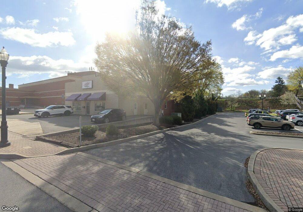
102 S State St Ephrata, PA 17522
Estimated Value: $739,118
--
Bed
--
Bath
7,674
Sq Ft
$96/Sq Ft
Est. Value
About This Home
This home is located at 102 S State St, Ephrata, PA 17522 and is currently estimated at $739,118, approximately $96 per square foot. 102 S State St is a home located in Lancaster County with nearby schools including Fulton El School, Ephrata Intermediate School, and Ephrata Senior High School.
Ownership History
Date
Name
Owned For
Owner Type
Purchase Details
Closed on
Jul 30, 2015
Sold by
Brown Kurt M
Bought by
102 South State Llc
Current Estimated Value
Home Financials for this Owner
Home Financials are based on the most recent Mortgage that was taken out on this home.
Original Mortgage
$300,000
Outstanding Balance
$235,466
Interest Rate
3.97%
Mortgage Type
Commercial
Estimated Equity
$503,652
Purchase Details
Closed on
Oct 13, 2008
Sold by
The Borough Of Ephrata
Bought by
Brown Kurt M
Create a Home Valuation Report for This Property
The Home Valuation Report is an in-depth analysis detailing your home's value as well as a comparison with similar homes in the area
Home Values in the Area
Average Home Value in this Area
Purchase History
| Date | Buyer | Sale Price | Title Company |
|---|---|---|---|
| 102 South State Llc | $375,000 | None Available | |
| Brown Kurt M | -- | None Available |
Source: Public Records
Mortgage History
| Date | Status | Borrower | Loan Amount |
|---|---|---|---|
| Open | 102 South State Llc | $300,000 |
Source: Public Records
Tax History Compared to Growth
Tax History
| Year | Tax Paid | Tax Assessment Tax Assessment Total Assessment is a certain percentage of the fair market value that is determined by local assessors to be the total taxable value of land and additions on the property. | Land | Improvement |
|---|---|---|---|---|
| 2025 | $6,002 | $250,300 | $67,100 | $183,200 |
| 2024 | $6,002 | $250,300 | $67,100 | $183,200 |
| 2023 | $5,855 | $250,300 | $67,100 | $183,200 |
| 2022 | $5,605 | $250,300 | $67,100 | $183,200 |
| 2021 | $5,487 | $250,300 | $67,100 | $183,200 |
| 2020 | $5,487 | $250,300 | $67,100 | $183,200 |
| 2019 | $5,412 | $250,300 | $67,100 | $183,200 |
| 2018 | $4,243 | $250,300 | $67,100 | $183,200 |
| 2017 | $6,129 | $231,600 | $67,000 | $164,600 |
| 2016 | $6,081 | $231,600 | $67,000 | $164,600 |
| 2015 | $1,344 | $231,600 | $67,000 | $164,600 |
| 2014 | $4,539 | $231,600 | $67,000 | $164,600 |
Source: Public Records
Map
Nearby Homes
- 49 N Church St
- 124 Washington Ave
- 10 E Queen St
- 221 Duke St
- 2 Westpointe Dr
- 234 Church Ave
- 308 Washington Ave
- 114 Brickyard Cir
- 323 Lincoln Ave
- 18 Akron Rd
- 346 Duke St
- 538 E Main St
- 335 Lincoln Ave
- 259 Heatherwood Dr
- 222 Heatherwood Dr
- 474 N Maple St
- 816 Wisteria Dr
- 708 Primrose Ln
- 623 N State St
- 868 Pointview Ave
- 107 S State St
- 5 W Franklin St
- 9 W Franklin St
- 118 S State St
- 6 W Franklin St
- 10 N State St
- 128 S State St
- 109 S State St
- 111 S State St
- 11 W Franklin St
- 39 Gross St
- 35 E Franklin St
- 113 S State St
- 113 S State St
- 115 S State St
- 19 S State St
- 19 S State St
- 37 E Franklin St
- 117 S State St
- 39 E Franklin St