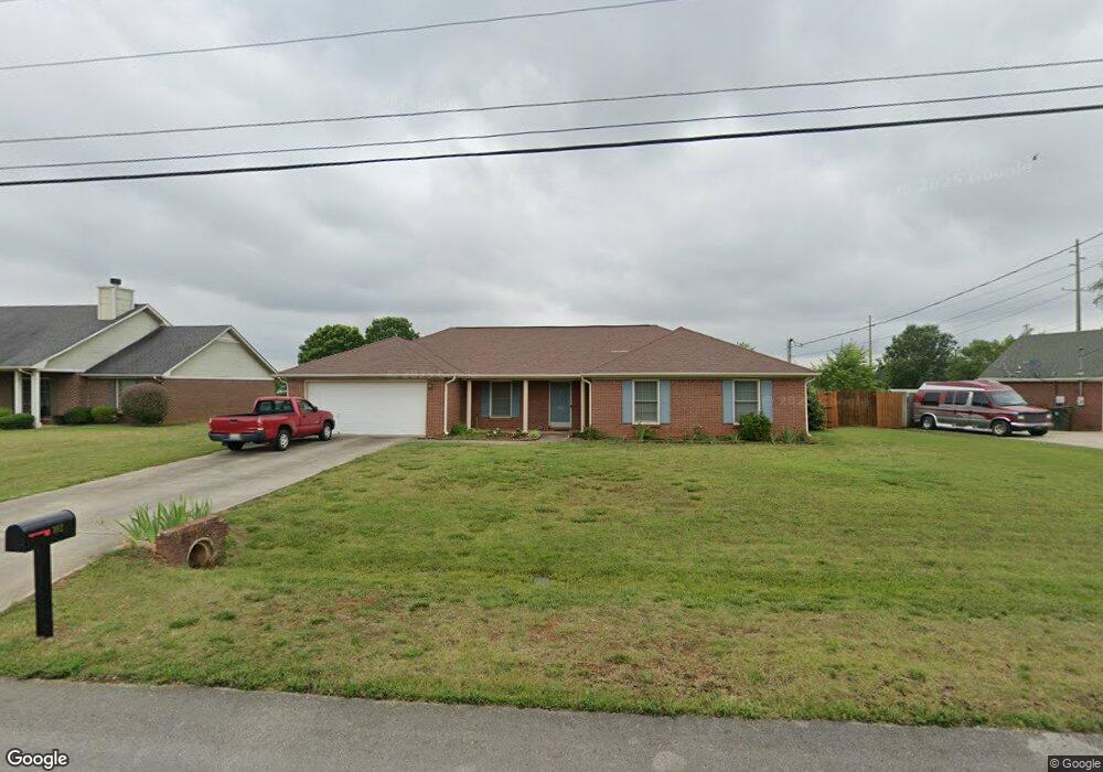
102 Silverleaf Dr Harvest, AL 35749
Harvest-Cluttsville NeighborhoodEstimated Value: $290,000 - $310,700
Studio
--
Bath
1,809
Sq Ft
$166/Sq Ft
Est. Value
About This Home
This home is located at 102 Silverleaf Dr, Harvest, AL 35749 and is currently estimated at $300,925, approximately $166 per square foot. 102 Silverleaf Dr is a home with nearby schools including Endeavor Elementary School, Monrovia Middle School, and Sparkman High School.
Ownership History
Date
Name
Owned For
Owner Type
Purchase Details
Closed on
Mar 26, 2007
Sold by
Sabree Marvin and Culp Katrina
Bought by
Phillips Jarred R and Phillips Rebecca M
Current Estimated Value
Home Financials for this Owner
Home Financials are based on the most recent Mortgage that was taken out on this home.
Original Mortgage
$111,920
Outstanding Balance
$67,444
Interest Rate
6.27%
Mortgage Type
New Conventional
Estimated Equity
$233,481
Create a Home Valuation Report for This Property
The Home Valuation Report is an in-depth analysis detailing your home's value as well as a comparison with similar homes in the area
Home Values in the Area
Average Home Value in this Area
Purchase History
| Date | Buyer | Sale Price | Title Company |
|---|---|---|---|
| Phillips Jarred R | -- | -- |
Source: Public Records
Mortgage History
| Date | Status | Borrower | Loan Amount |
|---|---|---|---|
| Open | Phillips Jarred R | $111,920 |
Source: Public Records
Tax History
| Year | Tax Paid | Tax Assessment Tax Assessment Total Assessment is a certain percentage of the fair market value that is determined by local assessors to be the total taxable value of land and additions on the property. | Land | Improvement |
|---|---|---|---|---|
| 2025 | $987 | $28,760 | $5,000 | $23,760 |
| 2024 | $987 | $27,700 | $5,000 | $22,700 |
| 2023 | $910 | $26,660 | $5,000 | $21,660 |
| 2022 | $629 | $18,720 | $2,020 | $16,700 |
| 2021 | $596 | $17,800 | $2,020 | $15,780 |
| 2020 | $553 | $16,630 | $2,010 | $14,620 |
| 2019 | $526 | $15,860 | $2,010 | $13,850 |
| 2018 | $503 | $15,260 | $0 | $0 |
| 2017 | $503 | $15,260 | $0 | $0 |
| 2016 | $503 | $15,260 | $0 | $0 |
| 2015 | $503 | $15,260 | $0 | $0 |
| 2014 | $488 | $14,840 | $0 | $0 |
Source: Public Records
Map
Nearby Homes
- 117 Word Ln
- 1230 Nick Davis Rd
- 313 Lionel Allen Way
- 7424 Wall Triana Hwy
- 123 Tobacco Rd
- 112 Summershade Ct
- 109 Gary Allen Blvd
- 125 Gary Allen Blvd
- 363 Lionel Allen Way
- 349 Lionel Allen Way
- 112 Silver Poplar Place
- 105 Charlemagne Cir
- 123 Dexter Cir
- 131 Cline Dr
- 132 Dexter Cir
- 229 Countrywood Ct
- 124 Vandenberg Ln
- 388 Pine Grove Rd
- 146 Forest Ridge Dr
- 8059 Wall Triana Hwy
- 104 Silverleaf Dr
- 100 Silverleaf Dr
- 103 Silverleaf Dr
- 105 Silverleaf Dr
- 106 Silverleaf Dr
- 101 Silverleaf Dr
- 107 Silverleaf Dr
- 1148 Nick Davis Rd
- 300 Willow Oak Dr
- 108 Silverleaf Dr
- 301 Willow Oak Dr
- 127 Word Ln
- 1092 Nick Davis Rd
- 125 Word Ln
- 1088 Nick Davis Rd
- 109 Silverleaf Dr
- 1160 Nick Davis Rd
- 153 Word Ln
- 302 Willow Oak Dr
- 1094 Nick Davis Rd
Your Personal Tour Guide
Ask me questions while you tour the home.