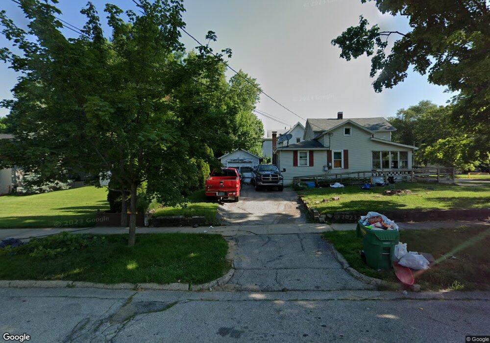
102 Spruce St Dowagiac, MI 49047
Estimated Value: $152,000 - $166,000
3
Beds
1
Bath
1,041
Sq Ft
$151/Sq Ft
Est. Value
About This Home
This home is located at 102 Spruce St, Dowagiac, MI 49047 and is currently estimated at $157,000, approximately $150 per square foot. 102 Spruce St is a home located in Cass County with nearby schools including Justus Gage Elementary School, Dowagiac Middle School, and Union High School.
Ownership History
Date
Name
Owned For
Owner Type
Purchase Details
Closed on
Nov 20, 2025
Sold by
Cox Kenton L and Cox Marjorie
Bought by
Cox Aimee Lynn and Cox Kenton L
Current Estimated Value
Purchase Details
Closed on
May 10, 2010
Sold by
Secretary Of Housing & Urban Development
Bought by
Cox Kenton
Purchase Details
Closed on
Apr 9, 2009
Sold by
Citimortgage Inc
Bought by
The Secretary Of Housing & Urban Develop
Purchase Details
Closed on
Oct 8, 2008
Sold by
Phillipson Irving F and Phillipson Irving
Bought by
Abn Amro Mortgage Group Inc
Create a Home Valuation Report for This Property
The Home Valuation Report is an in-depth analysis detailing your home's value as well as a comparison with similar homes in the area
Home Values in the Area
Average Home Value in this Area
Purchase History
| Date | Buyer | Sale Price | Title Company |
|---|---|---|---|
| Cox Aimee Lynn | -- | None Listed On Document | |
| Cox Kenton | -- | None Listed On Document | |
| Cox Kenton | $5,001 | None Available | |
| The Secretary Of Housing & Urban Develop | -- | None Available | |
| Abn Amro Mortgage Group Inc | $46,370 | None Available |
Source: Public Records
Tax History
| Year | Tax Paid | Tax Assessment Tax Assessment Total Assessment is a certain percentage of the fair market value that is determined by local assessors to be the total taxable value of land and additions on the property. | Land | Improvement |
|---|---|---|---|---|
| 2025 | $16 | $1,500 | $1,500 | $0 |
| 2024 | $11 | $1,500 | $1,500 | $0 |
| 2023 | $10 | $1,500 | $0 | $0 |
| 2022 | $9 | $800 | $0 | $0 |
| 2021 | $14 | $800 | $0 | $0 |
| 2020 | $9 | $500 | $0 | $0 |
| 2019 | $13 | $500 | $0 | $0 |
| 2018 | $9 | $500 | $0 | $0 |
| 2017 | $9 | $600 | $0 | $0 |
| 2016 | $8 | $300 | $0 | $0 |
| 2015 | -- | $300 | $0 | $0 |
| 2011 | -- | $1,700 | $0 | $0 |
Source: Public Records
Map
Nearby Homes
- 210 McOmber St
- 205.5 W Railroad St
- VL Center St
- 315 McOmber St
- 206 E Wayne St
- 316 E Division St
- 106 Lagrange St
- 604 Orchard St
- 409 W Railroad St
- 307 E Telegraph St
- 102 N Mill St
- 105 Lester Ave
- 101 Haines St
- 307 New York Ave
- 208 E Prairie Ronde St
- VL N M 51
- 510 Spruce St
- 423 E Division St
- 304 E Prairie Ronde St
- 412 Oak St
Your Personal Tour Guide
Ask me questions while you tour the home.