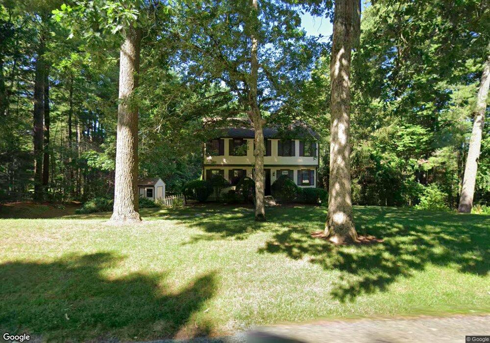
102 Sunset Way Pembroke, MA 02359
Estimated Value: $766,128 - $922,000
--
Bed
3
Baths
1,896
Sq Ft
$431/Sq Ft
Est. Value
About This Home
This home is located at 102 Sunset Way, Pembroke, MA 02359 and is currently estimated at $816,532, approximately $430 per square foot. 102 Sunset Way is a home located in Plymouth County with nearby schools including Pembroke High School, Cadence Academy Preschool - Hanover, and Cardinal Cushing Centers.
Ownership History
Date
Name
Owned For
Owner Type
Purchase Details
Closed on
Dec 30, 1994
Sold by
Mase Matthew and Mase Jeanne M
Bought by
Mollica Michael A and Mollica Michelle L
Current Estimated Value
Purchase Details
Closed on
Sep 30, 1993
Sold by
Bevere Anthony M and Bevere Helen A
Bought by
Mase Matthew and Mase Jeanne M
Create a Home Valuation Report for This Property
The Home Valuation Report is an in-depth analysis detailing your home's value as well as a comparison with similar homes in the area
Home Values in the Area
Average Home Value in this Area
Purchase History
| Date | Buyer | Sale Price | Title Company |
|---|---|---|---|
| Mollica Michael A | $190,000 | -- | |
| Mase Matthew | $195,000 | -- |
Source: Public Records
Mortgage History
| Date | Status | Borrower | Loan Amount |
|---|---|---|---|
| Open | Mase Matthew | $198,000 | |
| Closed | Mase Matthew | $180,000 |
Source: Public Records
Tax History Compared to Growth
Tax History
| Year | Tax Paid | Tax Assessment Tax Assessment Total Assessment is a certain percentage of the fair market value that is determined by local assessors to be the total taxable value of land and additions on the property. | Land | Improvement |
|---|---|---|---|---|
| 2025 | $7,808 | $649,600 | $325,500 | $324,100 |
| 2024 | $7,718 | $641,600 | $320,300 | $321,300 |
| 2023 | $7,277 | $572,100 | $295,500 | $276,600 |
| 2022 | $6,800 | $480,600 | $235,400 | $245,200 |
| 2021 | $6,812 | $467,200 | $230,200 | $237,000 |
| 2020 | $6,703 | $462,600 | $230,200 | $232,400 |
| 2019 | $6,465 | $442,800 | $220,200 | $222,600 |
| 2018 | $6,400 | $429,800 | $220,200 | $209,600 |
| 2017 | $5,827 | $385,900 | $205,400 | $180,500 |
| 2016 | $5,755 | $377,100 | $195,400 | $181,700 |
| 2015 | $5,423 | $367,900 | $185,400 | $182,500 |
Source: Public Records
Map
Nearby Homes
- 599 Washington St Unit 14
- 330 Pleasant St
- 33 Barker Square Dr Unit 33
- 40 Brisan Way
- 100 Fairwood Dr
- 30 Old Washington St Unit 9
- 261 Washington St
- 99 Old Washington St
- 172 Washington St
- 26 Pierce Dr
- 218 Schoosett St
- 290 High St
- 77 Old Cart Path Ln Unit Lot 4
- 78 Old Cart Path Ln Unit Lot 3
- 72 Old Cart Path Ln Unit Lot 2
- 387 North St
- 55 Shipyard Ln
- 204 Center St Unit 9
- 249 High St
- 5 Royal Dane Dr Unit 46