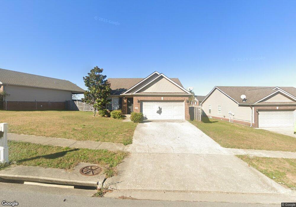
102 Swilcan Bridge Way Georgetown, KY 40324
Estimated Value: $267,900 - $305,000
3
Beds
2
Baths
1,490
Sq Ft
$196/Sq Ft
Est. Value
About This Home
This home is located at 102 Swilcan Bridge Way, Georgetown, KY 40324 and is currently estimated at $291,975, approximately $195 per square foot. 102 Swilcan Bridge Way is a home located in Scott County with nearby schools including Western Elementary School, Creekside Elementary School, and Royal Spring Middle School.
Ownership History
Date
Name
Owned For
Owner Type
Purchase Details
Closed on
Jul 1, 2016
Sold by
Janets Investments Llc
Bought by
Merritt Bobby S
Current Estimated Value
Home Financials for this Owner
Home Financials are based on the most recent Mortgage that was taken out on this home.
Original Mortgage
$149,900
Outstanding Balance
$128,087
Interest Rate
6%
Mortgage Type
New Conventional
Estimated Equity
$163,888
Purchase Details
Closed on
Jan 5, 2016
Sold by
Omni Homes Llc
Bought by
Janets Investments Llc
Create a Home Valuation Report for This Property
The Home Valuation Report is an in-depth analysis detailing your home's value as well as a comparison with similar homes in the area
Home Values in the Area
Average Home Value in this Area
Purchase History
| Date | Buyer | Sale Price | Title Company |
|---|---|---|---|
| Merritt Bobby S | $154,900 | Attorney | |
| Janets Investments Llc | $149,000 | Attorney |
Source: Public Records
Mortgage History
| Date | Status | Borrower | Loan Amount |
|---|---|---|---|
| Open | Merritt Bobby S | $149,900 |
Source: Public Records
Tax History Compared to Growth
Tax History
| Year | Tax Paid | Tax Assessment Tax Assessment Total Assessment is a certain percentage of the fair market value that is determined by local assessors to be the total taxable value of land and additions on the property. | Land | Improvement |
|---|---|---|---|---|
| 2024 | $1,864 | $207,300 | $0 | $0 |
| 2023 | $1,797 | $198,200 | $48,000 | $150,200 |
| 2022 | $1,495 | $175,800 | $40,000 | $135,800 |
| 2021 | $1,558 | $165,400 | $40,000 | $125,400 |
| 2020 | $1,331 | $154,900 | $40,000 | $114,900 |
| 2019 | $1,352 | $154,900 | $0 | $0 |
| 2018 | $1,344 | $154,900 | $0 | $0 |
| 2017 | $1,351 | $154,900 | $0 | $0 |
| 2016 | $1,078 | $133,925 | $0 | $0 |
| 2015 | $1,040 | $130,000 | $0 | $0 |
| 2014 | $1,078 | $130,000 | $0 | $0 |
| 2011 | $92 | $148,505 | $0 | $0 |
Source: Public Records
Map
Nearby Homes
- 98 Delissa Dr
- 442 General John Payne Blvd
- 110 Sea Pines Way
- 126 Autumn Leaf Path
- 209 Christal Dr
- 117 Christal Dr
- 111 Valhalla Place
- 103 Kiawah Ct
- 141 Delissa Dr
- 114 Stony Point Dr
- 119 Josie Trail
- 245 Sturbridge Dr
- 180 Hillside Dr
- 1000 Walker Way
- 138 Nathan Hale Dr
- 809 Pocahontas Trail
- 117 Dale Hollow Dr
- 306 N Water St
- 701 Mojave Trail
- 110 Dale Hollow Dr
- 152 Swilcan Bridge Way
- 104 Swilcan Bridge Way
- 100 Swilcan Bridge Way
- 103 Amen Corner Way
- 106 Swilcan Bridge Way
- 105 Amen Corner Way
- 101 Belvoir Park
- 103 Swilcan Bridge Way Unit 6
- 105 Swilcan Bridge Way
- 108 Swilcan Bridge Way
- 107 Swilcan Bridge Way
- 152 Amen Corner Way
- 102 Amen Corner Way
- 100 Amen Corner Way
- 107 Amen Corner Way
- 106 Amen Corner Way
- 110 Swilcan Bridge Way
- 108 Amen Corner Way
- 153 Amen Corner Way
- 228 Paynes Landing Blvd