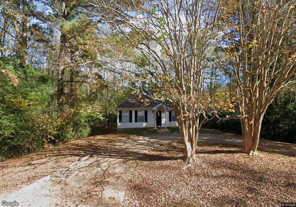
102 Teaver Ct Lagrange, GA 30240
Estimated Value: $171,890 - $238,000
2
Beds
3
Baths
884
Sq Ft
$223/Sq Ft
Est. Value
About This Home
This home is located at 102 Teaver Ct, Lagrange, GA 30240 and is currently estimated at $196,973, approximately $222 per square foot. 102 Teaver Ct is a home located in Troup County with nearby schools including Berta Weathersbee Elementary School, Long Cane Elementary School, and Whitesville Road Elementary School.
Ownership History
Date
Name
Owned For
Owner Type
Purchase Details
Closed on
Oct 2, 2004
Sold by
Kenneth Higgins
Bought by
Higgins Alice B
Current Estimated Value
Purchase Details
Closed on
Jul 11, 2001
Bought by
Kenneth Higgins
Purchase Details
Closed on
Feb 21, 2001
Sold by
Alice B Higgins Dba Higgins De
Purchase Details
Closed on
Mar 6, 1990
Sold by
Len Cody
Bought by
Alice B Higgins Dba Higgins De
Purchase Details
Closed on
Jan 1, 1987
Sold by
Gam Enterprises
Bought by
Len Cody
Create a Home Valuation Report for This Property
The Home Valuation Report is an in-depth analysis detailing your home's value as well as a comparison with similar homes in the area
Purchase History
| Date | Buyer | Sale Price | Title Company |
|---|---|---|---|
| Higgins Alice B | -- | -- | |
| Kenneth Higgins | -- | -- | |
| -- | -- | -- | |
| Alice B Higgins Dba Higgins De | -- | -- | |
| Len Cody | -- | -- |
Source: Public Records
Tax History
| Year | Tax Paid | Tax Assessment Tax Assessment Total Assessment is a certain percentage of the fair market value that is determined by local assessors to be the total taxable value of land and additions on the property. | Land | Improvement |
|---|---|---|---|---|
| 2025 | $1,428 | $56,960 | $10,000 | $46,960 |
| 2024 | $1,428 | $52,360 | $10,000 | $42,360 |
| 2023 | $1,282 | $47,000 | $10,000 | $37,000 |
| 2022 | $1,224 | $43,840 | $8,000 | $35,840 |
| 2021 | $1,036 | $34,360 | $6,000 | $28,360 |
| 2020 | $1,036 | $34,360 | $6,000 | $28,360 |
| 2019 | $654 | $21,680 | $3,200 | $18,480 |
| 2018 | $654 | $21,680 | $3,200 | $18,480 |
| 2017 | $654 | $21,680 | $3,200 | $18,480 |
| 2016 | $632 | $20,940 | $3,000 | $17,940 |
| 2015 | $633 | $20,940 | $3,000 | $17,940 |
| 2014 | $562 | $21,850 | $4,000 | $17,850 |
| 2013 | -- | $22,502 | $4,000 | $18,502 |
Source: Public Records
Map
Nearby Homes
- 124 Foxdale Dr
- 509 Connie Dr
- 103 Hawthorne Cir
- 0 Glass Bridge Rd Unit 10679358
- 104 Bridlewood Dr
- 808 S Fling Rd
- 427 Fling Rd
- 266 Glass Bridge Rd
- 8 Horace Carter Rd
- 135 Planters Ridge Dr
- 0 Bradfield Dr Unit 10568803
- 275 Hanson Dr
- 640 Hudson Rd
- 0 Hanson Dr Unit 10641272
- 3835 W Point Rd
- 440 & 448 Kimbrough Rd
- 4.5 ACRES Whatley Rd N
- 0 Deming St Unit 10550189
- 0 Salem Rd Tract 2 Unit 10675187
- 119 Plymouth Dr
Your Personal Tour Guide
Ask me questions while you tour the home.