102 Thwings Point Rd Woolwich, ME 04579
Estimated Value: $657,000 - $1,536,381
3
Beds
2
Baths
2,300
Sq Ft
$450/Sq Ft
Est. Value
About This Home
This home is located at 102 Thwings Point Rd, Woolwich, ME 04579 and is currently estimated at $1,034,127, approximately $449 per square foot. 102 Thwings Point Rd is a home located in Sagadahoc County with nearby schools including Morse High School.
Ownership History
Date
Name
Owned For
Owner Type
Purchase Details
Closed on
Mar 11, 2025
Sold by
Robinson Claire M and Robinson Michael D
Bought by
Robinson Reaty Ft and Robinson
Current Estimated Value
Purchase Details
Closed on
May 27, 2014
Sold by
Robinson Claire M and Robinson Michael D
Bought by
Robinson Claire M and Robinson Michael D
Purchase Details
Closed on
Jan 4, 2007
Sold by
Nature Conservancy
Bought by
Robinson Michael D and Robinson Claire M
Create a Home Valuation Report for This Property
The Home Valuation Report is an in-depth analysis detailing your home's value as well as a comparison with similar homes in the area
Home Values in the Area
Average Home Value in this Area
Purchase History
| Date | Buyer | Sale Price | Title Company |
|---|---|---|---|
| Robinson Reaty Ft | -- | None Available | |
| Robinson Reaty Ft | -- | None Available | |
| Robinson Claire M | -- | -- | |
| Robinson Claire M | -- | -- | |
| Robinson Michael D | -- | -- | |
| Robinson Michael D | -- | -- |
Source: Public Records
Mortgage History
| Date | Status | Borrower | Loan Amount |
|---|---|---|---|
| Previous Owner | Robinson Michael D | $250,000 |
Source: Public Records
Tax History Compared to Growth
Tax History
| Year | Tax Paid | Tax Assessment Tax Assessment Total Assessment is a certain percentage of the fair market value that is determined by local assessors to be the total taxable value of land and additions on the property. | Land | Improvement |
|---|---|---|---|---|
| 2024 | $14,733 | $882,200 | $374,500 | $507,700 |
| 2023 | $13,586 | $882,200 | $374,500 | $507,700 |
| 2022 | $13,586 | $882,200 | $374,500 | $507,700 |
| 2021 | $13,586 | $882,200 | $374,500 | $507,700 |
| 2020 | $13,586 | $882,200 | $374,500 | $507,700 |
| 2019 | $13,365 | $882,200 | $374,500 | $507,700 |
| 2018 | $13,233 | $882,200 | $374,500 | $507,700 |
| 2017 | $12,704 | $882,200 | $374,500 | $507,700 |
| 2016 | $12,527 | $882,200 | $374,500 | $507,700 |
| 2015 | $11,685 | $822,900 | $374,500 | $448,400 |
| 2014 | $11,514 | $805,200 | $374,500 | $430,700 |
| 2013 | $11,112 | $805,200 | $374,500 | $430,700 |
Source: Public Records
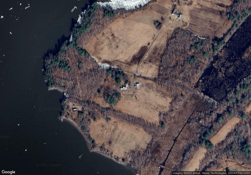
Map
Nearby Homes
- 110 Chopps Cross Rd
- 0 Norway Dr
- 00 Skillings Dr
- Lot 11E Baker Dr
- 852 River Rd
- 14 Hedge Bridge Rd
- 143 White Rd
- 0 White Rd
- 10 Cork Cove Ln
- 44A Trott Rd
- 20 Eagle Point Rd
- 00 Dana Mill Rd
- 458 Carding MacHine Rd
- 277 Old Stage Rd
- 886 Middle Rd
- Lot 51E Morton Rd
- 107 Stevenson Way
- 744 Ridge Rd
- 83 Hemlock Hill Ln
- 137 S Pleasant St
- 135 Thwings Point Rd
- 133 Thwings Point Rd
- 8 Thwings Point Rd
- 11 Lillys Cove Dr
- 1119 River Rd
- 31 Lillys Cove Dr
- 1151 River Rd
- 1074 River Rd
- 112 Swango Dr
- 13 Chopps Point Rd
- 13 Chops Point Rd
- 50 Spring Cove Dr
- 27 Chops Point Rd
- 19 Stoney Creek Dr
- 304 Pork Point Rd
- 0 Stoney Creek
- 00 Stoney Creek
- 0 Stoney Creek Dr
- 1301 River Rd
- 43 Drifters Ln