102 Toll Bridge Rd Warren, ME 04864
Estimated Value: $202,000 - $352,000
5
Beds
1
Bath
1,204
Sq Ft
$236/Sq Ft
Est. Value
About This Home
This home is located at 102 Toll Bridge Rd, Warren, ME 04864 and is currently estimated at $283,773, approximately $235 per square foot. 102 Toll Bridge Rd is a home with nearby schools including Medomak Valley High School.
Ownership History
Date
Name
Owned For
Owner Type
Purchase Details
Closed on
Jan 9, 2018
Sold by
Fnma
Bought by
Moran Shawn
Current Estimated Value
Purchase Details
Closed on
Oct 18, 2017
Sold by
Schmiz John and Fnma
Bought by
Fnma
Purchase Details
Closed on
Nov 22, 2010
Sold by
Schmiz Annette M
Bought by
Federal National Mortgage Association
Purchase Details
Closed on
Jan 15, 2009
Sold by
Schmiz John
Bought by
Federal National Mortgage Association
Create a Home Valuation Report for This Property
The Home Valuation Report is an in-depth analysis detailing your home's value as well as a comparison with similar homes in the area
Home Values in the Area
Average Home Value in this Area
Purchase History
| Date | Buyer | Sale Price | Title Company |
|---|---|---|---|
| Moran Shawn | $69,825 | -- | |
| Fnma | -- | -- | |
| Federal National Mortgage Association | -- | -- | |
| Federal National Mortgage Association | $57,800 | -- |
Source: Public Records
Tax History Compared to Growth
Tax History
| Year | Tax Paid | Tax Assessment Tax Assessment Total Assessment is a certain percentage of the fair market value that is determined by local assessors to be the total taxable value of land and additions on the property. | Land | Improvement |
|---|---|---|---|---|
| 2025 | $3,130 | $220,400 | $87,000 | $133,400 |
| 2024 | $3,130 | $220,400 | $87,000 | $133,400 |
| 2023 | $3,064 | $220,400 | $87,000 | $133,400 |
| 2022 | $2,276 | $113,800 | $58,900 | $54,900 |
| 2021 | $2,162 | $113,800 | $58,900 | $54,900 |
| 2020 | $2,208 | $113,800 | $58,900 | $54,900 |
| 2019 | $2,174 | $113,800 | $58,900 | $54,900 |
| 2018 | $2,083 | $113,800 | $58,900 | $54,900 |
| 2017 | $1,957 | $113,800 | $58,900 | $54,900 |
| 2016 | $1,844 | $113,800 | $58,900 | $54,900 |
| 2015 | $1,821 | $113,800 | $58,900 | $54,900 |
| 2014 | $1,832 | $113,800 | $58,900 | $54,900 |
| 2013 | $1,809 | $113,800 | $58,900 | $54,900 |
Source: Public Records
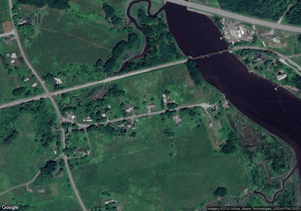
Map
Nearby Homes
- 000 Atlantic Highway Map 4 Lot 24
- 360 Cushing Rd
- 152 Spear Mill Rd
- 471 Main St
- 839 Cushing Rd
- 46 Cedar Dr
- 482 Main St
- 31 Booker St Unit 3
- 71 Woodland Ave
- 92 Maurice Ave
- 34 Sunset St
- 36 Sunrise Terrace
- 25 Water St
- 40 Beechwood St
- 32 Fox Den Ln
- 85 Main St
- 52 Main St
- 102 Beechwood St
- 71 Bunny Trail
- 31 Dwight St
- 86 Toll Bridge Rd
- 105 Toll Bridge Rd
- 64 Toll Bridge Rd
- 61 Toll Bridge Rd
- 127 Toll Bridge Rd
- 141 Toll Bridge Rd
- 51 Toll Bridge Rd
- 40 Toll Bridge Rd
- 22 Toll Bridge Rd
- 000 Atlantic Hwy
- 284 Cushing Rd
- 55 Toll Bridge Rd
- 2 Toll Bridge Rd
- 7 Toll Bridge Rd
- 0 Route One
- Lot R1-19A Atlantic Hwy
- 48 Toll Bridge Rd
- 162 Cushing Rd
- 201 Cushing Rd
- 372 Cushing Rd