102 Torie Ln Browder, KY 42326
Estimated Value: $130,045 - $230,000
3
Beds
2
Baths
1,933
Sq Ft
$90/Sq Ft
Est. Value
About This Home
This home is located at 102 Torie Ln, Browder, KY 42326 and is currently estimated at $173,761, approximately $89 per square foot. 102 Torie Ln is a home with nearby schools including Muhlenberg County High School.
Ownership History
Date
Name
Owned For
Owner Type
Purchase Details
Closed on
Oct 30, 2006
Sold by
Legatees Devisees and Noffsinger Clarence
Bought by
Pentecost Richard and Pentecost Dana
Current Estimated Value
Home Financials for this Owner
Home Financials are based on the most recent Mortgage that was taken out on this home.
Original Mortgage
$21,552
Interest Rate
6.39%
Mortgage Type
Purchase Money Mortgage
Purchase Details
Closed on
Jun 7, 2006
Sold by
Miller William Clayton and Miller Geraldine
Bought by
Pentecost Richard and Pentecost Dana
Home Financials for this Owner
Home Financials are based on the most recent Mortgage that was taken out on this home.
Original Mortgage
$18,544
Interest Rate
6.51%
Mortgage Type
Purchase Money Mortgage
Create a Home Valuation Report for This Property
The Home Valuation Report is an in-depth analysis detailing your home's value as well as a comparison with similar homes in the area
Home Values in the Area
Average Home Value in this Area
Purchase History
| Date | Buyer | Sale Price | Title Company |
|---|---|---|---|
| Pentecost Richard | $3,200 | -- | |
| Pentecost Richard | $5,000 | -- |
Source: Public Records
Mortgage History
| Date | Status | Borrower | Loan Amount |
|---|---|---|---|
| Closed | Pentecost Richard | $21,552 | |
| Previous Owner | Pentecost Richard | $18,544 |
Source: Public Records
Tax History Compared to Growth
Tax History
| Year | Tax Paid | Tax Assessment Tax Assessment Total Assessment is a certain percentage of the fair market value that is determined by local assessors to be the total taxable value of land and additions on the property. | Land | Improvement |
|---|---|---|---|---|
| 2024 | $789 | $82,200 | $0 | $0 |
| 2023 | $840 | $82,200 | $0 | $0 |
| 2022 | $847 | $82,200 | $0 | $0 |
| 2021 | $865 | $82,200 | $0 | $0 |
| 2020 | $827 | $82,200 | $0 | $0 |
| 2019 | $832 | $82,200 | $9,200 | $73,000 |
| 2018 | $817 | $82,200 | $9,200 | $73,000 |
| 2017 | $786 | $82,200 | $73,000 | $9,200 |
| 2016 | $766 | $82,200 | $9,200 | $73,000 |
| 2012 | $693 | $82,200 | $9,200 | $73,000 |
Source: Public Records
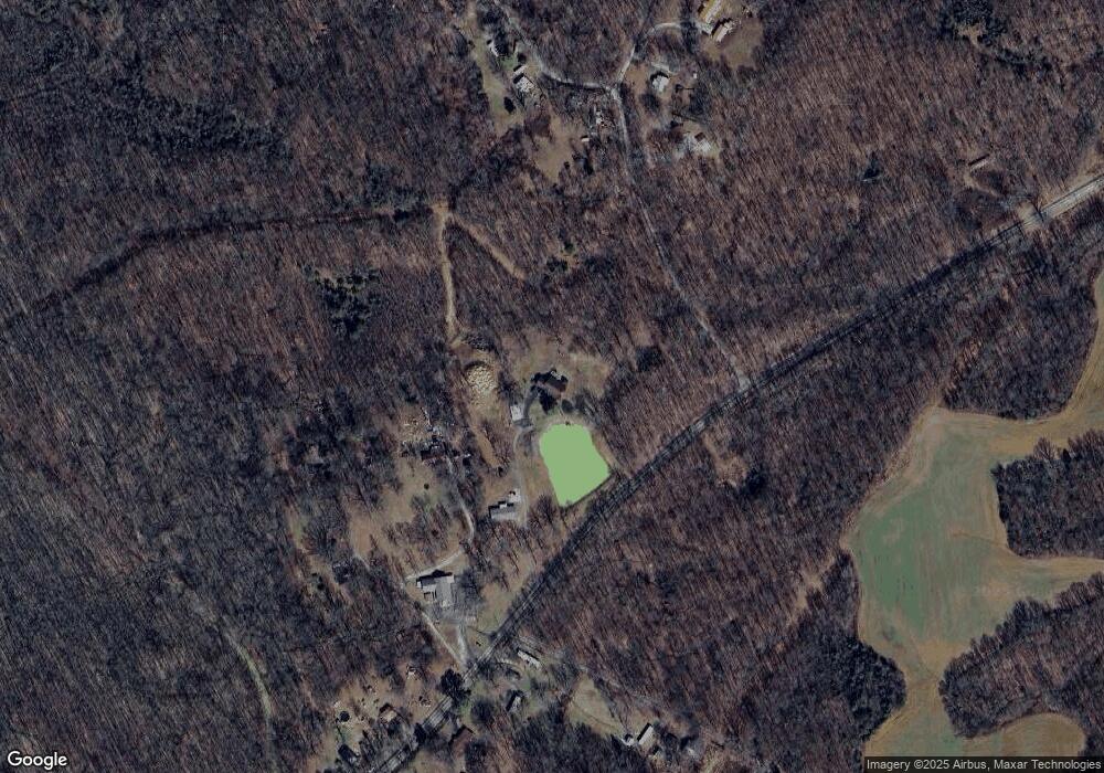
Map
Nearby Homes
- 2006 Douglas Rd
- 239 Mcginley Loop Unit Beechmont
- 239 McGinley Loop Rd
- 152 Hill Haven Place
- 620 Sutton Ln
- 3537 Merle Travis Hwy
- 1960 Gaston Rd Unit Tract 1
- 100 Green Meadows St
- 530 Beech Creek Browder Rd
- 0 Kentucky 176 Unit LotWP004
- 115 Howard Bowers Rd
- 0 Gaston Rd Unit Tract 3
- 0 Gaston Rd Unit Tract 2
- 0 Gaston Rd Unit Tract 2 RA20255309
- 210 State Route 2270 W
- 2874 Merle Travis Hwy
- 1441 Hazel Creek Rd
- 5615 Kentucky 176
- 1381 State Route 2270 W
- 5520 Forest Oak Church Rd
- 301 Mable Ln
- 244 Hilltop Ln
- 501 Mable Ln
- 54 Snyder Ln
- 14 Snyder Ln
- 221 Kuhn Rd
- 141 Hilltop Ln
- 150 Fulkerson Ln
- 144 Kuhn Rd
- 1570 Kentucky 70
- 75 Hilltop Ln
- 45 Hilltop Ln
- 114 Snyder Ln
- 1684 State Route 70 E
- 1659 State Route 70 E
- 1695 State Route 70 E
- 1633 State Route 70 E
- 1741 State Route 70 E
- 1721 State Route 70 E
- 1691 State Route 70 E