Estimated Value: $210,623 - $255,000
3
Beds
2
Baths
1,369
Sq Ft
$175/Sq Ft
Est. Value
About This Home
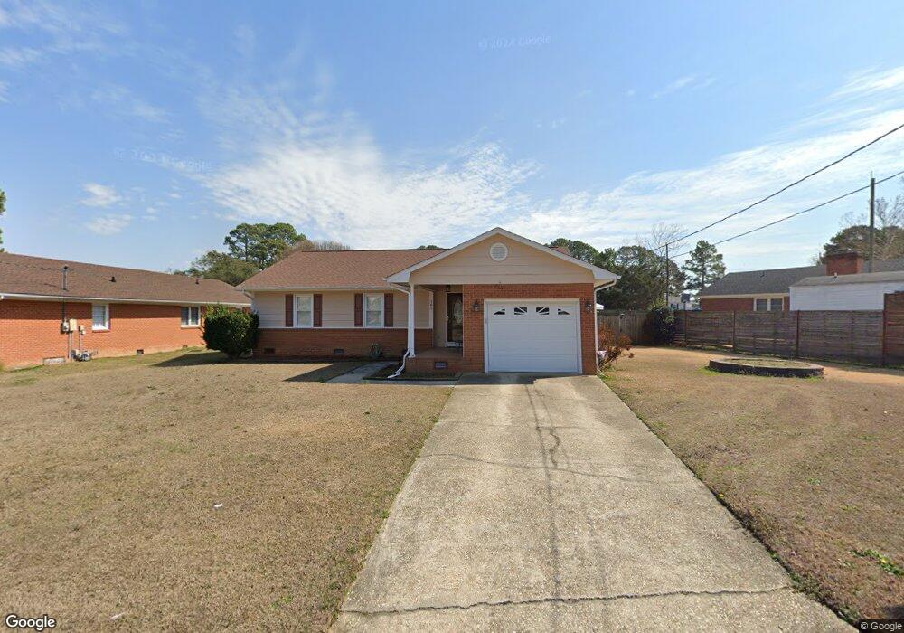
This home is located at 102 Violet Rd, Dunn, NC 28334 and is currently estimated at $240,156, approximately $175 per square foot. 102 Violet Rd is a home located in Harnett County with nearby schools including Dunn Elementary School, Dunn Middle School, and Triton High School.
Ownership History
Date
Name
Owned For
Owner Type
Purchase Details
Closed on
Mar 9, 2024
Sold by
Williams Dwight Edward
Bought by
Williams Cheryl Denise
Current Estimated Value
Purchase Details
Closed on
Dec 30, 2016
Sold by
Fisher David Joe
Bought by
Williams Dwight Edward and Williams Cheryl Denise
Home Financials for this Owner
Home Financials are based on the most recent Mortgage that was taken out on this home.
Original Mortgage
$120,707
Interest Rate
4.3%
Mortgage Type
New Conventional
Purchase Details
Closed on
Apr 2, 2012
Sold by
Fisher David Floyd
Bought by
Fisher David J
Create a Home Valuation Report for This Property
The Home Valuation Report is an in-depth analysis detailing your home's value as well as a comparison with similar homes in the area
Home Values in the Area
Average Home Value in this Area
Purchase History
| Date | Buyer | Sale Price | Title Company |
|---|---|---|---|
| Williams Cheryl Denise | -- | None Listed On Document | |
| Williams Cheryl Denise | -- | None Listed On Document | |
| Williams Dwight Edward | $119,500 | -- | |
| Fisher David J | -- | None Available |
Source: Public Records
Mortgage History
| Date | Status | Borrower | Loan Amount |
|---|---|---|---|
| Previous Owner | Williams Dwight Edward | $120,707 |
Source: Public Records
Tax History
| Year | Tax Paid | Tax Assessment Tax Assessment Total Assessment is a certain percentage of the fair market value that is determined by local assessors to be the total taxable value of land and additions on the property. | Land | Improvement |
|---|---|---|---|---|
| 2025 | $2,037 | $150,072 | $0 | $0 |
| 2024 | $1,989 | $150,072 | $0 | $0 |
| 2023 | $1,929 | $150,072 | $0 | $0 |
| 2022 | $1,560 | $150,072 | $0 | $0 |
| 2021 | $1,560 | $108,480 | $0 | $0 |
| 2020 | $1,560 | $108,480 | $0 | $0 |
| 2019 | $1,524 | $108,480 | $0 | $0 |
| 2018 | $1,545 | $108,480 | $0 | $0 |
| 2017 | $933 | $108,480 | $0 | $0 |
| 2016 | $809 | $99,330 | $0 | $0 |
| 2015 | $798 | $99,330 | $0 | $0 |
| 2014 | $798 | $99,330 | $0 | $0 |
Source: Public Records
Map
Nearby Homes
- 110 Rose Cir
- 219 Crescent Dr
- 100 Martin St
- 128 Crescent Dr
- 396 Riley Vann Ln
- 1116 Friendly Rd
- 1108 Friendly Rd
- 103 Byrd Dr
- 0 W Cumberland St Unit 10097343
- 116 Jones Dr
- 1210 Guy Ave
- 303 N Watauga Ave
- 209 N Watauga Ave
- 311 Marlowe Dr
- 113 Joy St
- 202 N Wayne Ave
- 4.47 Ac Fairground Rd
- 1006 W Divine St
- 1004 W Divine St
- 1101 W Divine St
- 102 Violet Dr
- 200 Violet Dr
- 301 Westfield Dr
- 303 Westfield Dr
- 202 Violet Dr
- 101 Rose Cir
- 305 Westfield Dr
- 202 Violet Rd
- 103 Violet Dr
- 100 Rose Cir
- 307 Westfield Dr
- 204 Violet Dr
- 204 Violet Rd
- 204 Westfield Dr
- 203 Violet Rd
- 202 Westfield Dr
- 300 Westfield Dr
- 703 Westfield Dr
- 103 Rose Cir
- 309 Westfield Dr
Your Personal Tour Guide
Ask me questions while you tour the home.