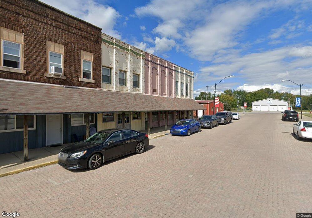
102 W Main St Colfax, IN 46035
Estimated Value: $56,579
--
Bed
--
Bath
4,800
Sq Ft
$12/Sq Ft
Est. Value
About This Home
This home is located at 102 W Main St, Colfax, IN 46035 and is currently estimated at $56,579, approximately $11 per square foot. 102 W Main St is a home located in Clinton County with nearby schools including Clinton Prairie Elementary School and Clinton Prairie Junior/Senior High School.
Ownership History
Date
Name
Owned For
Owner Type
Purchase Details
Closed on
Jan 18, 2024
Sold by
Shaffner Tina
Bought by
Jair Cleaning Services Llc
Current Estimated Value
Home Financials for this Owner
Home Financials are based on the most recent Mortgage that was taken out on this home.
Original Mortgage
$40,000
Outstanding Balance
$37,198
Interest Rate
6.38%
Mortgage Type
New Conventional
Estimated Equity
$19,381
Purchase Details
Closed on
Nov 29, 1999
Sold by
First National Bank Of America
Bought by
Imel Brian
Create a Home Valuation Report for This Property
The Home Valuation Report is an in-depth analysis detailing your home's value as well as a comparison with similar homes in the area
Home Values in the Area
Average Home Value in this Area
Purchase History
| Date | Buyer | Sale Price | Title Company |
|---|---|---|---|
| Jair Cleaning Services Llc | $57,000 | None Listed On Document | |
| Imel Brian | $7,500 | -- |
Source: Public Records
Mortgage History
| Date | Status | Borrower | Loan Amount |
|---|---|---|---|
| Open | Jair Cleaning Services Llc | $40,000 |
Source: Public Records
Tax History Compared to Growth
Tax History
| Year | Tax Paid | Tax Assessment Tax Assessment Total Assessment is a certain percentage of the fair market value that is determined by local assessors to be the total taxable value of land and additions on the property. | Land | Improvement |
|---|---|---|---|---|
| 2024 | -- | $48,900 | $8,400 | $40,500 |
| 2023 | $0 | $48,900 | $8,400 | $40,500 |
| 2022 | $0 | $48,900 | $8,400 | $40,500 |
| 2021 | $0 | $46,500 | $8,400 | $38,100 |
| 2020 | $0 | $46,500 | $8,400 | $38,100 |
| 2019 | $0 | $46,500 | $8,400 | $38,100 |
| 2018 | $0 | $46,500 | $8,400 | $38,100 |
| 2017 | $0 | $45,300 | $8,400 | $36,900 |
| 2016 | -- | $44,600 | $8,400 | $36,200 |
| 2014 | -- | $44,600 | $8,400 | $36,200 |
Source: Public Records
Map
Nearby Homes
- 304 W Jefferson St
- 404 W Franklin St
- 108 N Carter St
- 208 E Midway St
- 7001 N 1075 W
- 7706 N 1000 E
- 7279 N 950 E
- 7018 S County Road 430 W
- 5778 W County Road 300 S
- 9322 Main St
- 11816 Orange St
- 11818 Madison St
- Juniper Plan at Westfall Place
- Chestnut Plan at Westfall Place
- Walnut Plan at Westfall Place
- Ironwood Plan at Westfall Place
- Empress Plan at Westfall Place
- Ashton Plan at Westfall Place
- Spruce Plan at Westfall Place
- Palmetto Plan at Westfall Place
- 106 W Main St
- 106 1/2 Main St Unit 106.5
- 112 Main St
- RR 1 Box 130
- 0 S Columbia St Unit 367857
- 0 S Columbia St Unit 201400298
- 0 S Columbia St Unit 21164057
- 0 S Columbia St Unit 21167753
- 106 N Oakland St
- 100 N Oakland St
- 108 N Oakland St
- 205 W Main St
- 111 N Oakland St
- 207 Main St
- 110 N Oakland St
- 101 W Jefferson St
- 113 N Oakland St
- 105 E Franklin St
- 204 E Franklin St
- 204 E Franklin St