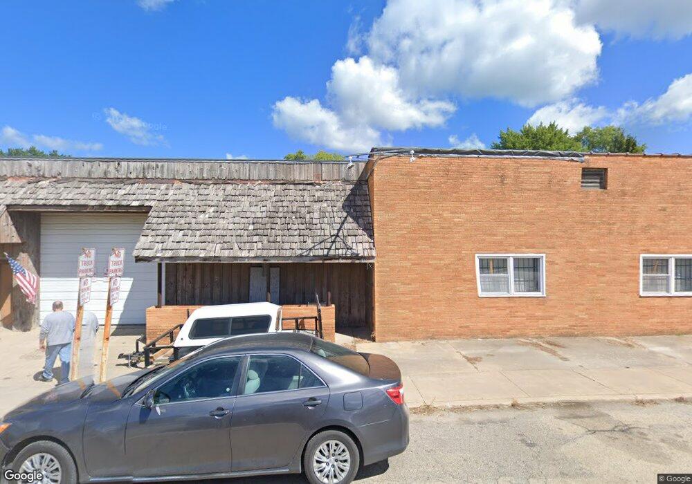
102 W Main St Industry, IL 61440
Estimated Value: $66,534
About This Home
This home is located at 102 W Main St, Industry, IL 61440 and is currently estimated at $66,534, approximately $41 per square foot. 102 W Main St is a home with nearby schools including Washington Elementary School, Webster Elementary School, and Schuyler Industry Middle School.
Ownership History
We collect this data history from publicly available records. To have your information removed, we recommend requesting removal directly through your county’s website.
Purchase Details
Purchase Details
Home Financials for this Owner
Home Financials are based on the most recent Mortgage that was taken out on this home.Purchase History
We collect this data history from publicly available records. To have your information removed, we recommend requesting removal directly through your county’s website.
| Date | Buyer | Sale Price | Title Company |
|---|---|---|---|
| $37,000 | None Available | ||
| $35,000 | None Available |
Mortgage History
We collect this data history from publicly available records. To have your information removed, we recommend requesting removal directly through your county’s website.
| Date | Status | Borrower | Loan Amount |
|---|---|---|---|
| Previous Owner | $28,000 |
Tax History
We collect this data history from publicly available records. To have your information removed, we recommend requesting removal directly through your county’s website.
| Year | Tax Paid | Tax Assessment Tax Assessment Total Assessment is a certain percentage of the fair market value that is determined by local assessors to be the total taxable value of land and additions on the property. | Land | Improvement |
|---|---|---|---|---|
| 2024 | $487 | $14,031 | $5,083 | $8,948 |
| 2023 | $537 | $13,247 | $4,799 | $8,448 |
| 2022 | $546 | $12,580 | $4,557 | $8,023 |
| 2021 | $772 | $12,349 | $4,473 | $7,876 |
| 2020 | $800 | $16,511 | $4,390 | $12,121 |
| 2019 | $1,042 | $12,430 | $4,502 | $7,928 |
| 2018 | $880 | $12,723 | $4,608 | $8,115 |
| 2017 | $876 | $12,723 | $4,608 | $8,115 |
| 2016 | $871 | $12,544 | $4,543 | $8,001 |
| 2015 | $1,012 | $11,993 | $4,488 | $7,505 |
| 2014 | $1,019 | $11,993 | $4,488 | $7,505 |
| 2013 | $935 | $11,993 | $4,488 | $7,505 |
Map
- 106 E Main St
- N 700th Rd
- 16187 Caldwell Ln
- 7230 E 1800th St
- 1455 Charlotte Rd
- 12795 N 1050th Rd
- 1 Marty Ln
- 2313 Maple Ave
- 12101 N 1050th Rd
- 2103 Maple Ave
- 225 Pinecrest Dr
- 201 Evergreen Dr
- 1324 E Thomas St
- 2201 & 2203 S Johnson St
- 172 James Dr Unit C
- 112 James Dr
- 1009 S Candy Ln
- 1220 Maple Ave
- 865 E Franklin St
- 741 Bobby Ave
- 104 N Sullivan St
- 103 N Sullivan St
- 202 N Sullivan St
- 103 E Main St
- 102 N Sullivan St
- 102 W Mcgowan St
- 105 E Main St
- 104 W Mcgowan St
- 119 W Main St Unit 117
- 103 S Sullivan St
- 206 N Sullivan St
- 201 N Downen St
- 201 N Sullivan St
- 105 S Sullivan St
- 205 N Sullivan St
- 108 E Main St
- 103 North Ave
- 111 E Main St
- 105 North Ave
- 208 N Sullivan St
Ask me questions while you tour the home.