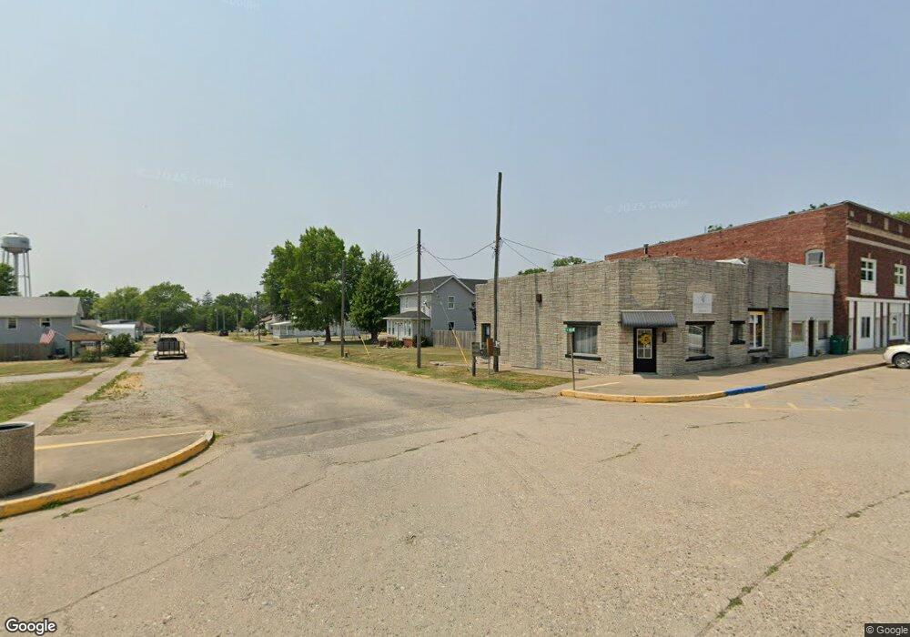
102 W Main St Table Grove, IL 61482
Estimated Value: $77,000 - $85,501
--
Bed
--
Bath
--
Sq Ft
0.33
Acres
About This Home
This home is located at 102 W Main St, Table Grove, IL 61482 and is currently estimated at $81,500. 102 W Main St is a home with nearby schools including VIT Elementary School and VIT Senior High School.
Ownership History
Date
Name
Owned For
Owner Type
Purchase Details
Closed on
Nov 11, 2022
Sold by
Hollenback Michael H
Bought by
Busby Cody
Current Estimated Value
Home Financials for this Owner
Home Financials are based on the most recent Mortgage that was taken out on this home.
Original Mortgage
$27,467
Outstanding Balance
$12,940
Interest Rate
6.14%
Mortgage Type
New Conventional
Estimated Equity
$68,560
Purchase Details
Closed on
Jun 2, 2010
Purchase Details
Closed on
Jul 9, 2008
Sold by
Sheriff Of Fulton County
Bought by
Harringtonmoran Hud C and Harringtonmoran Barksdale O
Purchase Details
Closed on
Aug 1, 2001
Create a Home Valuation Report for This Property
The Home Valuation Report is an in-depth analysis detailing your home's value as well as a comparison with similar homes in the area
Home Values in the Area
Average Home Value in this Area
Purchase History
| Date | Buyer | Sale Price | Title Company |
|---|---|---|---|
| Busby Cody | $46,000 | Terrill Title | |
| -- | $12,500 | -- | |
| Harringtonmoran Hud C | $52,100 | -- | |
| -- | $49,000 | -- |
Source: Public Records
Mortgage History
| Date | Status | Borrower | Loan Amount |
|---|---|---|---|
| Open | Busby Cody | $27,467 |
Source: Public Records
Tax History Compared to Growth
Tax History
| Year | Tax Paid | Tax Assessment Tax Assessment Total Assessment is a certain percentage of the fair market value that is determined by local assessors to be the total taxable value of land and additions on the property. | Land | Improvement |
|---|---|---|---|---|
| 2024 | $2,068 | $23,490 | $1,610 | $21,880 |
| 2023 | $2,068 | $22,480 | $1,540 | $20,940 |
| 2022 | $1,759 | $22,480 | $1,540 | $20,940 |
| 2021 | $1,759 | $19,540 | $1,540 | $18,000 |
| 2020 | $1,432 | $18,890 | $1,490 | $17,400 |
| 2019 | $1,308 | $19,190 | $1,510 | $17,680 |
| 2018 | $1,220 | $18,820 | $1,480 | $17,340 |
| 2017 | $2,113 | $18,820 | $1,480 | $17,340 |
| 2016 | $1,124 | $18,180 | $1,430 | $16,750 |
| 2015 | $1,115 | $16,670 | $1,430 | $15,240 |
| 2013 | -- | $15,490 | $1,390 | $14,100 |
| 2012 | -- | $15,120 | $1,360 | $13,760 |
Source: Public Records
Map
Nearby Homes
- 109 E Laurel St
- 102 & 104 W 1st St
- 519 W 3rd St
- 208 E 4th St
- 302 W 5th St
- 406 S Liberty St
- 111 E South St
- 10120 E 2250th St
- 545 E Tarters Ferry Ln
- 545 E Tarters Ferry Rd
- 000 N Tarters Ferry Ln
- 17217 N Dairy Farm Rd
- 8323 E Briney Rd
- N Bucher Rd
- N Side Hwy 95
- 10206 E County 14 Hwy
- 10315 E County 14 Hwy
- 2205 N Sullivan Rd
- 201 W State St
- 8739 E Turner Hwy
- 109 W Liberty St
- 105 W Liberty St
- 105 W Main St
- 200 W Main St
- 130 N Broadway St
- 102 N James St
- 202 W Main St
- 208 W Main St
- 200 N James St
- 201 E Main St
- 205 W Main St
- 107 W Market St
- 206 W Market St
- 103 W Market St
- 211 W Liberty St
- 211 W Main St
- 204 N James St
- 205 E Market St
- 206 S James St
- 200 W Laurel St