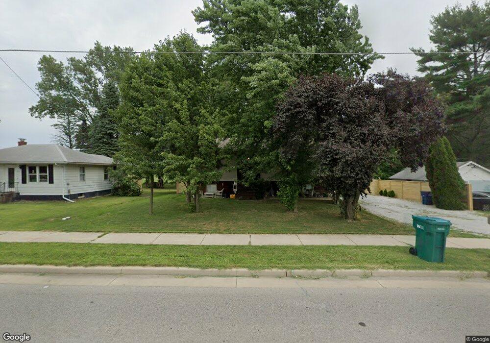
102 W Mcclung Rd La Porte, IN 46350
Estimated Value: $220,039 - $231,000
3
Beds
3
Baths
2,146
Sq Ft
$105/Sq Ft
Est. Value
About This Home
This home is located at 102 W Mcclung Rd, La Porte, IN 46350 and is currently estimated at $225,510, approximately $105 per square foot. 102 W Mcclung Rd is a home located in LaPorte County with nearby schools including Carver Elementary School, Hailmann Elementary School, and La Porte High School.
Ownership History
Date
Name
Owned For
Owner Type
Purchase Details
Closed on
Jul 24, 2020
Sold by
Meade Robert
Bought by
Avila Fernandez Elsa E
Current Estimated Value
Home Financials for this Owner
Home Financials are based on the most recent Mortgage that was taken out on this home.
Original Mortgage
$96,000
Outstanding Balance
$85,126
Interest Rate
3.1%
Mortgage Type
New Conventional
Estimated Equity
$140,384
Purchase Details
Closed on
Nov 7, 2012
Sold by
Meade Robert
Bought by
City Of Laporte
Create a Home Valuation Report for This Property
The Home Valuation Report is an in-depth analysis detailing your home's value as well as a comparison with similar homes in the area
Home Values in the Area
Average Home Value in this Area
Purchase History
| Date | Buyer | Sale Price | Title Company |
|---|---|---|---|
| Avila Fernandez Elsa E | -- | None Available | |
| City Of Laporte | $12,300 | None Available |
Source: Public Records
Mortgage History
| Date | Status | Borrower | Loan Amount |
|---|---|---|---|
| Open | Avila Fernandez Elsa E | $96,000 |
Source: Public Records
Tax History Compared to Growth
Tax History
| Year | Tax Paid | Tax Assessment Tax Assessment Total Assessment is a certain percentage of the fair market value that is determined by local assessors to be the total taxable value of land and additions on the property. | Land | Improvement |
|---|---|---|---|---|
| 2024 | $1,457 | $153,900 | $22,300 | $131,600 |
| 2023 | $1,378 | $137,800 | $17,400 | $120,400 |
| 2022 | $1,225 | $123,500 | $17,400 | $106,100 |
| 2021 | $1,168 | $114,800 | $17,400 | $97,400 |
| 2020 | $1,174 | $114,800 | $17,400 | $97,400 |
| 2019 | $1,204 | $115,800 | $17,900 | $97,900 |
| 2018 | $1,153 | $103,100 | $14,400 | $88,700 |
| 2017 | $1,150 | $102,800 | $14,400 | $88,400 |
| 2016 | $1,080 | $97,200 | $12,500 | $84,700 |
| 2014 | $1,005 | $94,700 | $12,500 | $82,200 |
Source: Public Records
Map
Nearby Homes
- 125 W Mcclung Rd
- 222 Roosevelt St
- 161 W Mcclung Rd
- 506 Pulaski St
- 1944 Park St
- 1960 Park St
- 1964 Park St
- 1962 Park St
- 0 Brighton St Unit NRA542345
- 503 Grove St
- 107 Lincolnway
- 202 Jefferson Ave
- 706 Detroit St
- 717 E Lincolnway
- 413 Jefferson Ave
- 302 Bond St
- 610 Home St
- 865 W 200 N
- 906 Linwood Ave
- 414 Allen St
- 103 W Mcclung Rd
- 101 W Mcclung Rd
- 105 Mcclung Rd
- 307 Mcclung Rd
- 107 W Mcclung Rd
- 305 Mcclung Rd
- 301 Mcclung Rd
- 102 Schumaker Ct
- 222 Mcclung Rd
- 215 Mcclung Rd
- 220 Mcclung Rd
- 218 Mcclung Rd
- 111 W Mcclung Rd
- 211 Mcclung Rd
- 207 Mcclung Rd
- 212 Mcclung Rd
- 113 W Mcclung Rd
- 208 Mcclung Rd
- 121 Kosciusko St
- 204 Mcclung Rd