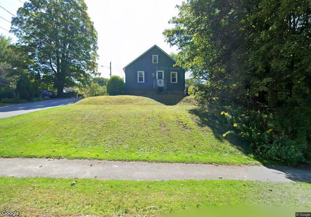
102 W Shaft Rd North Adams, MA 01247
Estimated Value: $202,055 - $244,000
2
Beds
1
Bath
884
Sq Ft
$246/Sq Ft
Est. Value
About This Home
This home is located at 102 W Shaft Rd, North Adams, MA 01247 and is currently estimated at $217,514, approximately $246 per square foot. 102 W Shaft Rd is a home located in Berkshire County with nearby schools including Brayton Elementary School, Drury High School, and Berkshire Arts & Technology Charter Public School.
Ownership History
Date
Name
Owned For
Owner Type
Purchase Details
Closed on
Sep 26, 2019
Sold by
Juras Michela A
Bought by
Juras Michela A and Juras Christopher F
Current Estimated Value
Home Financials for this Owner
Home Financials are based on the most recent Mortgage that was taken out on this home.
Original Mortgage
$300,000
Outstanding Balance
$262,815
Interest Rate
3.5%
Mortgage Type
New Conventional
Estimated Equity
-$45,301
Purchase Details
Closed on
Apr 30, 2008
Sold by
Chilson Alan E and Chilson Catherine A
Bought by
Preite Michela A
Home Financials for this Owner
Home Financials are based on the most recent Mortgage that was taken out on this home.
Original Mortgage
$76,000
Interest Rate
5.99%
Mortgage Type
Purchase Money Mortgage
Create a Home Valuation Report for This Property
The Home Valuation Report is an in-depth analysis detailing your home's value as well as a comparison with similar homes in the area
Home Values in the Area
Average Home Value in this Area
Purchase History
| Date | Buyer | Sale Price | Title Company |
|---|---|---|---|
| Juras Michela A | -- | -- | |
| Preite Michela A | $79,000 | -- |
Source: Public Records
Mortgage History
| Date | Status | Borrower | Loan Amount |
|---|---|---|---|
| Open | Juras Michela A | $300,000 | |
| Previous Owner | Preite Michela A | $76,000 |
Source: Public Records
Tax History Compared to Growth
Tax History
| Year | Tax Paid | Tax Assessment Tax Assessment Total Assessment is a certain percentage of the fair market value that is determined by local assessors to be the total taxable value of land and additions on the property. | Land | Improvement |
|---|---|---|---|---|
| 2025 | $2,104 | $125,900 | $35,200 | $90,700 |
| 2024 | $1,975 | $115,200 | $32,200 | $83,000 |
| 2023 | $1,882 | $106,500 | $32,200 | $74,300 |
| 2022 | $1,744 | $94,100 | $32,200 | $61,900 |
| 2021 | $1,623 | $87,200 | $29,800 | $57,400 |
| 2020 | $1,516 | $81,400 | $29,600 | $51,800 |
| 2019 | $1,470 | $76,900 | $29,600 | $47,300 |
| 2018 | $1,426 | $77,600 | $31,200 | $46,400 |
| 2017 | $1,359 | $76,900 | $30,900 | $46,000 |
| 2016 | $1,327 | $76,300 | $30,900 | $45,400 |
| 2015 | $1,290 | $77,300 | $31,900 | $45,400 |
Source: Public Records
Map
Nearby Homes
- 17 A St
- 1320 Church St
- 1268 Curran Hwy
- 12 Aztec Dr
- 8 Apache Dr
- 0 Ashland St Unit 245228
- 209 Corinth St
- 26 Bradford St
- 54 Pine Hill Terrace
- 360 Mohawk Trail
- 350 Mohawk Trail
- 921 Mohawk Trail
- 100 Autumn Dr
- 0 Oak Hill Unit 237953
- 33 Gattuso Dr
- 30 Dover St
- 31 Dover St
- 336 Walnut St
- 11-15 Perry St
- 74 Washington Ave