Estimated Value: $722,000 - $962,418
6
Beds
5
Baths
3,843
Sq Ft
$221/Sq Ft
Est. Value
About This Home
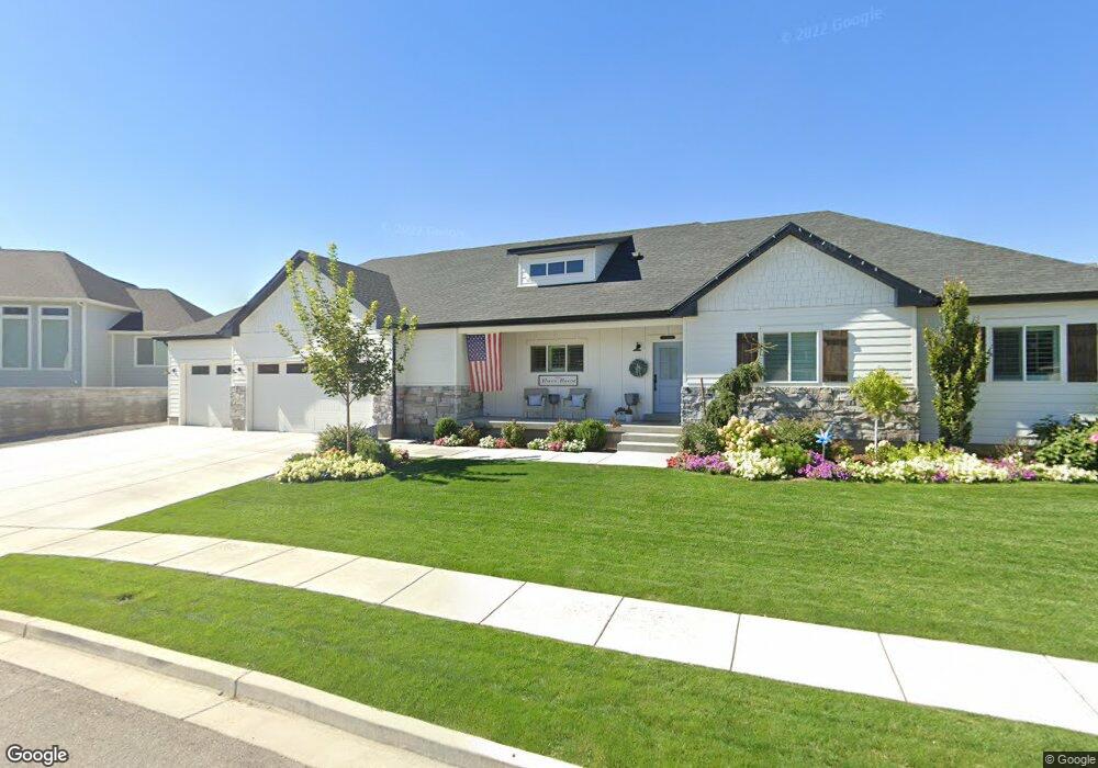
This home is located at 102 W Whetstone Cir Unit 16, Lehi, UT 84043 and is currently estimated at $849,605, approximately $221 per square foot. 102 W Whetstone Cir Unit 16 is a home located in Utah County with nearby schools including Sego Lily Elementary School, Lehi Junior High School, and Skyridge High School.
Ownership History
Date
Name
Owned For
Owner Type
Purchase Details
Closed on
Sep 11, 2020
Sold by
Pulham Heath
Bought by
Pulham Heath and Pulham Hannah
Current Estimated Value
Home Financials for this Owner
Home Financials are based on the most recent Mortgage that was taken out on this home.
Original Mortgage
$450,000
Outstanding Balance
$398,605
Interest Rate
2.8%
Mortgage Type
New Conventional
Estimated Equity
$451,000
Purchase Details
Closed on
Mar 27, 2018
Sold by
Schoonover Holdings Llc
Bought by
Pulham Heath
Purchase Details
Closed on
Mar 10, 2015
Sold by
Villa Finance Llc
Bought by
Schoonover Investments Family Lp
Create a Home Valuation Report for This Property
The Home Valuation Report is an in-depth analysis detailing your home's value as well as a comparison with similar homes in the area
Home Values in the Area
Average Home Value in this Area
Purchase History
| Date | Buyer | Sale Price | Title Company |
|---|---|---|---|
| Pulham Heath | -- | Provo Land Title Company | |
| Pulham Heath | -- | Provo Land Title Company | |
| Pulham Heath | -- | Provo Land Title Co | |
| Schoonover Investments Family Lp | -- | Metro National Title |
Source: Public Records
Mortgage History
| Date | Status | Borrower | Loan Amount |
|---|---|---|---|
| Open | Pulham Heath | $450,000 |
Source: Public Records
Tax History Compared to Growth
Tax History
| Year | Tax Paid | Tax Assessment Tax Assessment Total Assessment is a certain percentage of the fair market value that is determined by local assessors to be the total taxable value of land and additions on the property. | Land | Improvement |
|---|---|---|---|---|
| 2025 | $3,764 | $508,530 | $275,800 | $648,800 |
| 2024 | $3,764 | $440,440 | $0 | $0 |
| 2023 | $3,432 | $436,095 | $0 | $0 |
| 2022 | $3,298 | $406,230 | $0 | $0 |
| 2021 | $2,972 | $553,400 | $159,600 | $393,800 |
| 2020 | $2,802 | $515,800 | $147,800 | $368,000 |
| 2019 | $2,445 | $467,800 | $147,800 | $320,000 |
| 2018 | $1,638 | $296,300 | $118,300 | $178,000 |
| 2017 | $1,230 | $118,300 | $0 | $0 |
| 2016 | $1,243 | $110,900 | $0 | $0 |
| 2015 | $1,178 | $99,800 | $0 | $0 |
Source: Public Records
Map
Nearby Homes
- 1755 N 250 W
- 4333 N Baiken Ridge Dr Unit 1020
- 497 W 2200 N
- 192 E 2200 N
- 595 W 2200 N
- 497 W 2280 N
- 1329 N 100 E Unit 21
- 1295 N 190 E
- 1817 W Bad Rock Cir
- 1150 N 200 W Unit 6
- 2539 N 300 E
- 2287 N 750 W
- 902 W 1500 N
- 1011 W Mountain Way Unit 316
- 996 N 200 W
- 155 W State St Unit TRLR 3
- 537 W Sandhill Dr
- 68 W State St
- 2208 N 825 E
- 859 E 2125 N
- 102 W Whetstone Cir Unit 16
- 1858 N Nuttall Dr
- 86 W Whetstone Cir Unit 17
- 86 W Whetstone Cir
- 86 W Whetstone Cir Unit 17
- 1952 Nuttall Dr
- 127 W Whetstone Cir
- 81 W Whetstone Cir Unit 10
- 99 W Whetstone Cir
- 111 W Whetstone Cir
- 1907 Nuttall Dr
- 1842 N Nuttall Dr
- 1861 N Nuttall Dr
- 1962 Nuttall Dr
- 1939 Nuttall Dr
- 1939 N Nuttall Dr
- 43 W Whetstone Cir Unit 9
- 1967 Nuttall Dr
- 1967 N Nuttall Dr Unit 6
- 1967 N Nuttall Dr