102 Wampum Way Epworth, GA 30541
Estimated Value: $324,000 - $465,000
--
Bed
2
Baths
1,040
Sq Ft
$387/Sq Ft
Est. Value
About This Home
This home is located at 102 Wampum Way, Epworth, GA 30541 and is currently estimated at $402,471, approximately $386 per square foot. 102 Wampum Way is a home located in Fannin County with nearby schools including Fannin County High School.
Ownership History
Date
Name
Owned For
Owner Type
Purchase Details
Closed on
Dec 2, 2019
Sold by
Kessler Michael E
Bought by
Sims Merris S and Merrie S Sims Liv Tr
Current Estimated Value
Purchase Details
Closed on
May 30, 2006
Sold by
Sims Merrie S
Bought by
Merrie S Sims Trustee Of The Merrie S
Purchase Details
Closed on
Dec 3, 2004
Sold by
Kessler Mike E and Kessler Robin L
Bought by
Kessler Mike E and Kessler Robin L
Purchase Details
Closed on
Mar 29, 1999
Sold by
Chubbuck Linda Dale
Bought by
Greenlee Raymond V
Create a Home Valuation Report for This Property
The Home Valuation Report is an in-depth analysis detailing your home's value as well as a comparison with similar homes in the area
Home Values in the Area
Average Home Value in this Area
Purchase History
| Date | Buyer | Sale Price | Title Company |
|---|---|---|---|
| Sims Merris S | -- | -- | |
| Merrie S Sims Trustee Of The Merrie S | -- | -- | |
| Kessler Mike E | -- | -- | |
| Greenlee Raymond V | $16,000 | -- |
Source: Public Records
Tax History Compared to Growth
Tax History
| Year | Tax Paid | Tax Assessment Tax Assessment Total Assessment is a certain percentage of the fair market value that is determined by local assessors to be the total taxable value of land and additions on the property. | Land | Improvement |
|---|---|---|---|---|
| 2025 | $1,173 | $130,016 | $14,441 | $115,575 |
| 2024 | $1,173 | $128,033 | $14,441 | $113,592 |
| 2023 | $1,074 | $105,361 | $14,441 | $90,920 |
| 2022 | $1,086 | $106,547 | $14,441 | $92,106 |
| 2021 | $763 | $54,410 | $12,378 | $42,032 |
| 2020 | $776 | $54,410 | $12,378 | $42,032 |
| 2019 | $791 | $54,410 | $12,378 | $42,032 |
| 2018 | $838 | $54,410 | $12,378 | $42,032 |
| 2017 | $972 | $54,910 | $12,378 | $42,532 |
| 2016 | $882 | $51,903 | $11,598 | $40,305 |
| 2015 | $845 | $47,608 | $11,690 | $35,918 |
| 2014 | $960 | $55,187 | $13,673 | $41,514 |
| 2013 | -- | $45,433 | $13,673 | $31,760 |
Source: Public Records
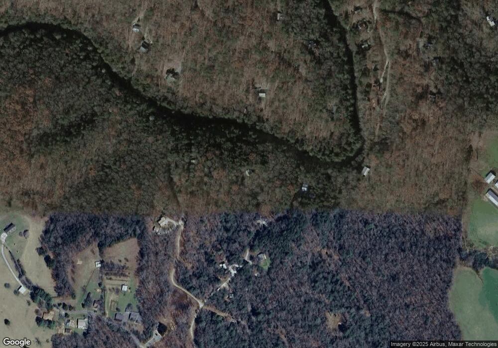
Map
Nearby Homes
- 1466 Indian Trail
- 380 Branch Creek Rd
- 337 Branch Creek Rd
- 142 Arrow Ridge Rd
- 100 Blueberry Ln
- 50 Gardenia Ln
- 51 Ocoee Trail
- Lot 2 Brookhaven Ln
- 267 Indian Trail
- LOT 2 Brookhaven Ln
- 620 Wash Wilson Rd
- 975 Goss Rd
- 207 Delphi Hills Ln
- 92 Asbury St
- 6 Lickskillet Rd
- 30 Mcclure Rd
- 760 Kingtown St
- 236 Washington Wilson Loop
- 120 Brookhaven Trail
- LOT 6 Lickskillet Rd
- 51 Wampum Way Unit 8,9
- 51 Wampum Way
- 25 Wampum Way
- 300 Broken Arrow Way
- 184 Tomahawk Trail
- 43 Navajo Trail
- 222 Broken Arrow Way
- LOT5 Tomahawk Trail
- 0 Tomahawk Trail
- 77 Navajo Trail
- 197 Broken Arrow Way
- 123 Tomahawk Trail
- Lot #24 Broken Arrow Way
- 0 Broken Arrow Way Unit 302227
- 0 Broken Arrow Way Unit 284065
- 3 Broken Arrow Way
- 0 Indian Trail Unit 300274
- 0 Indian Trail Unit 195637
- 0 Indian Trail Unit 401305
- 0 Indian Trail Unit 234972