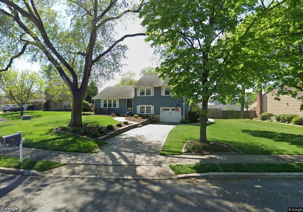
102 Wayside Ct Delran, NJ 08075
Tenby Chase NeighborhoodEstimated Value: $470,000 - $486,000
3
Beds
2
Baths
1,959
Sq Ft
$244/Sq Ft
Est. Value
About This Home
This home is located at 102 Wayside Ct, Delran, NJ 08075 and is currently estimated at $478,145, approximately $244 per square foot. 102 Wayside Ct is a home located in Burlington County with nearby schools including Millbridge Elementary School, Delran Intermediate School, and Delran Middle School.
Ownership History
Date
Name
Owned For
Owner Type
Purchase Details
Closed on
May 23, 2025
Sold by
Figueroa Megan and Staerk Arthur John
Bought by
Staerk Megan M and Staerk Arthur
Current Estimated Value
Home Financials for this Owner
Home Financials are based on the most recent Mortgage that was taken out on this home.
Original Mortgage
$275,000
Outstanding Balance
$274,065
Interest Rate
6.86%
Mortgage Type
New Conventional
Estimated Equity
$204,080
Purchase Details
Closed on
Apr 13, 2009
Sold by
Little Arthur E
Bought by
Staerk Arthur John and Figueroa Megan
Home Financials for this Owner
Home Financials are based on the most recent Mortgage that was taken out on this home.
Original Mortgage
$239,723
Interest Rate
4.86%
Mortgage Type
FHA
Create a Home Valuation Report for This Property
The Home Valuation Report is an in-depth analysis detailing your home's value as well as a comparison with similar homes in the area
Home Values in the Area
Average Home Value in this Area
Purchase History
| Date | Buyer | Sale Price | Title Company |
|---|---|---|---|
| Staerk Megan M | -- | None Listed On Document | |
| Staerk Megan M | -- | None Listed On Document | |
| Staerk Arthur John | $248,000 | Weichert Title Agency |
Source: Public Records
Mortgage History
| Date | Status | Borrower | Loan Amount |
|---|---|---|---|
| Open | Staerk Megan M | $275,000 | |
| Closed | Staerk Megan M | $275,000 | |
| Previous Owner | Staerk Arthur John | $239,723 |
Source: Public Records
Tax History
| Year | Tax Paid | Tax Assessment Tax Assessment Total Assessment is a certain percentage of the fair market value that is determined by local assessors to be the total taxable value of land and additions on the property. | Land | Improvement |
|---|---|---|---|---|
| 2025 | $9,010 | $226,600 | $65,000 | $161,600 |
| 2024 | $8,928 | $226,600 | $65,000 | $161,600 |
| 2023 | $8,928 | $226,600 | $65,000 | $161,600 |
| 2022 | $8,812 | $226,600 | $65,000 | $161,600 |
| 2021 | $8,817 | $226,600 | $65,000 | $161,600 |
| 2020 | $8,799 | $226,600 | $65,000 | $161,600 |
| 2019 | $7,636 | $198,500 | $65,000 | $133,500 |
| 2018 | $7,509 | $198,500 | $65,000 | $133,500 |
| 2017 | $7,390 | $198,500 | $65,000 | $133,500 |
| 2016 | $7,164 | $195,300 | $65,000 | $130,300 |
| 2015 | $7,044 | $195,300 | $65,000 | $130,300 |
| 2014 | $6,738 | $195,300 | $65,000 | $130,300 |
Source: Public Records
Map
Nearby Homes
- 102 Red Stone Ridge
- 123 Shelly Ln
- 139 Coopers Kill Rd
- 49 Haines Mill Rd
- 108 Patricia Ave
- 51 Suburban Blvd
- 190 Westover Dr
- 119 Linda Ave
- 70 Suburban Blvd
- 707 Parry Blvd
- 4327 Bridgeboro Rd
- 347 Tom Brown Rd
- 343 Tom Brown Rd
- 2105 Chestnut Hill Dr
- 4304 Bridgeboro Rd
- 68 Janeway Ave
- 2204 New Albany Rd
- 203 Congressional Ct
- 208 Congressional Ct
- 0 0 Swarthmore Dr
Your Personal Tour Guide
Ask me questions while you tour the home.