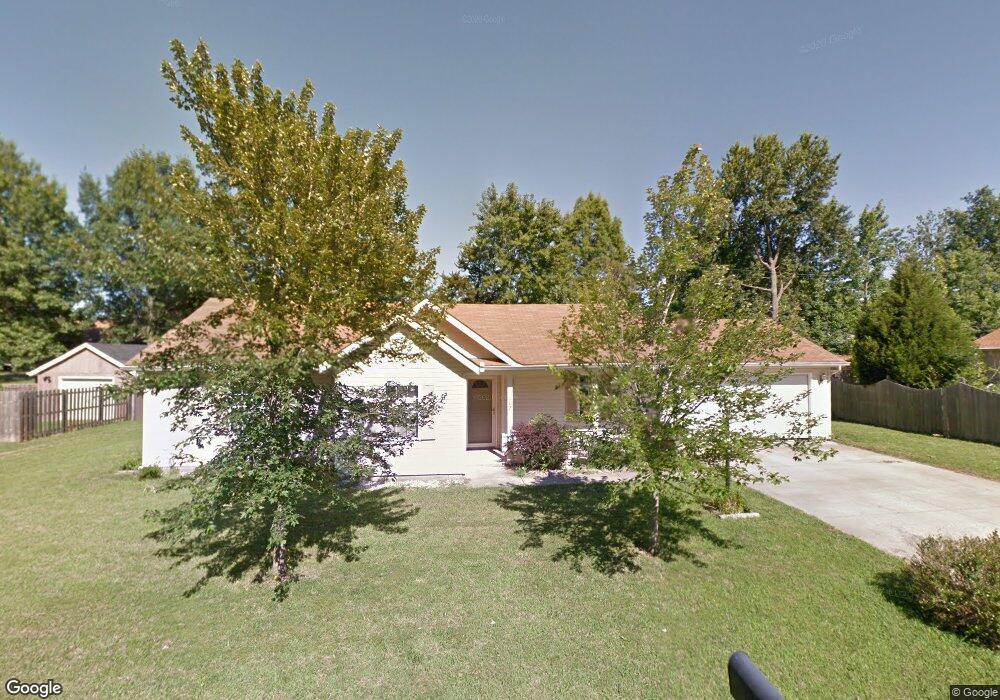
102 Weisbrook Ln Carterville, IL 62918
Estimated Value: $264,000 - $282,000
--
Bed
--
Bath
1,970
Sq Ft
$139/Sq Ft
Est. Value
About This Home
This home is located at 102 Weisbrook Ln, Carterville, IL 62918 and is currently estimated at $273,638, approximately $138 per square foot. 102 Weisbrook Ln is a home located in Williamson County with nearby schools including Tri-C Elementary School, Carterville Junior High School, and Carterville High School.
Ownership History
Date
Name
Owned For
Owner Type
Purchase Details
Closed on
Dec 23, 2019
Sold by
Dana Gates
Bought by
Lerner Joseph F and Lerner Leah D
Current Estimated Value
Home Financials for this Owner
Home Financials are based on the most recent Mortgage that was taken out on this home.
Original Mortgage
$168,150
Outstanding Balance
$148,248
Interest Rate
3.6%
Mortgage Type
New Conventional
Estimated Equity
$125,390
Create a Home Valuation Report for This Property
The Home Valuation Report is an in-depth analysis detailing your home's value as well as a comparison with similar homes in the area
Home Values in the Area
Average Home Value in this Area
Purchase History
| Date | Buyer | Sale Price | Title Company |
|---|---|---|---|
| Lerner Joseph F | $177,000 | Mayberry Brandon C |
Source: Public Records
Mortgage History
| Date | Status | Borrower | Loan Amount |
|---|---|---|---|
| Open | Lerner Joseph F | $168,150 |
Source: Public Records
Tax History Compared to Growth
Tax History
| Year | Tax Paid | Tax Assessment Tax Assessment Total Assessment is a certain percentage of the fair market value that is determined by local assessors to be the total taxable value of land and additions on the property. | Land | Improvement |
|---|---|---|---|---|
| 2025 | $4,747 | $75,100 | $12,010 | $63,090 |
| 2024 | $4,747 | $75,100 | $12,010 | $63,090 |
| 2023 | $4,747 | $75,100 | $12,010 | $63,090 |
| 2022 | $3,978 | $66,170 | $10,580 | $55,590 |
| 2021 | $3,978 | $60,260 | $9,640 | $50,620 |
| 2020 | $3,870 | $60,260 | $9,640 | $50,620 |
| 2019 | $3,634 | $60,260 | $9,640 | $50,620 |
| 2018 | $3,634 | $60,260 | $9,640 | $50,620 |
| 2017 | $3,555 | $60,260 | $9,640 | $50,620 |
| 2015 | $3,439 | $57,080 | $9,130 | $47,950 |
| 2013 | $2,905 | $57,080 | $9,130 | $47,950 |
| 2012 | $2,905 | $57,080 | $9,130 | $47,950 |
Source: Public Records
Map
Nearby Homes
- 1303 W Grand Ave
- 109 Weisbrook Ln
- 1106 Falcon Ct
- 1001 W Grand Ave
- 1000 Meadowlark Dr
- 914 Valley Dr
- 307 Noah Ln
- 400 Noah Ln
- 402 Noah Ln
- 13602 Greenbriar Rd
- 412 Noah Ln
- 611 Crab Orchard Blvd
- TBD Grace Ln
- 704 Jonathan Ln
- 208 Townhouse Dr
- 104 Townhouse Dr
- 124 Merry Acres Ln
- 604 W Grand Ave
- 3160 Sycamore Rd
- 600 W Grand Ave
- 102 Weisbrook Ln
- 104 Weisbrook Ln
- 103 Stable Dr
- 100 Weisbrook Ln
- 34 Weisbrook Ln
- 105 Stable Dr
- 103 Weisbrook Ln
- 105 Weisbrook Ln
- 101 Stable Dr
- 106 Weisbrook Ln
- 101 Weisbrook Ln
- 107 Weisbrook Ln
- 107 Stable Dr
- 104 Stable Dr
- 100 Stable Dr
- 109 Stable Dr
- 106 Stable Dr
- 1300 W Grand Ave
- 100 Twin Lakes Dr
- 1305 W Grand Ave