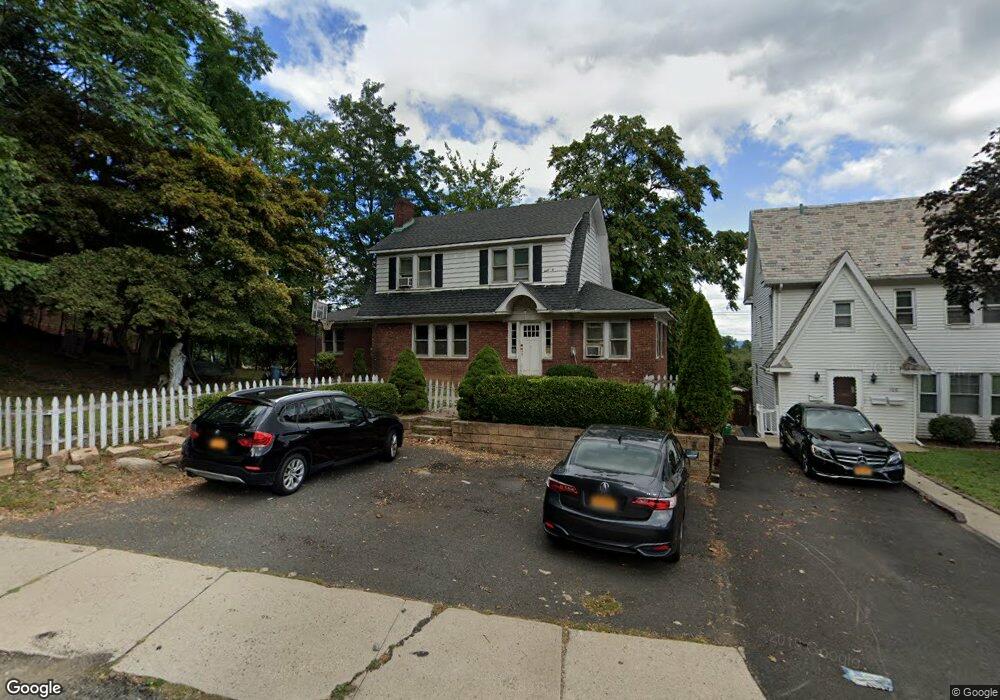
102 Westside Ave Haverstraw, NY 10927
Estimated Value: $561,000 - $597,484
6
Beds
4
Baths
1,904
Sq Ft
$304/Sq Ft
Est. Value
About This Home
This home is located at 102 Westside Ave, Haverstraw, NY 10927 and is currently estimated at $578,371, approximately $303 per square foot. 102 Westside Ave is a home located in Rockland County with nearby schools including Thiells Elementary School, Willow Grove Middle School, and Fieldstone Secondary School.
Ownership History
Date
Name
Owned For
Owner Type
Purchase Details
Closed on
Nov 22, 2011
Sold by
Esquivel Jorge
Bought by
Esquivel Blanca
Current Estimated Value
Purchase Details
Closed on
Jan 30, 2004
Sold by
Mejia Jose Raul and Mejia Juana N
Bought by
Esquivel Jorge and Esquivel Blanca M
Home Financials for this Owner
Home Financials are based on the most recent Mortgage that was taken out on this home.
Original Mortgage
$245,000
Interest Rate
5.82%
Mortgage Type
Purchase Money Mortgage
Create a Home Valuation Report for This Property
The Home Valuation Report is an in-depth analysis detailing your home's value as well as a comparison with similar homes in the area
Home Values in the Area
Average Home Value in this Area
Purchase History
| Date | Buyer | Sale Price | Title Company |
|---|---|---|---|
| Esquivel Blanca | -- | Eric Ole Thorsen | |
| Esquivel Jorge | $310,000 | -- |
Source: Public Records
Mortgage History
| Date | Status | Borrower | Loan Amount |
|---|---|---|---|
| Closed | Esquivel Jorge | $245,000 |
Source: Public Records
Tax History Compared to Growth
Tax History
| Year | Tax Paid | Tax Assessment Tax Assessment Total Assessment is a certain percentage of the fair market value that is determined by local assessors to be the total taxable value of land and additions on the property. | Land | Improvement |
|---|---|---|---|---|
| 2024 | $60,051 | $216,900 | $89,600 | $127,300 |
| 2023 | $60,051 | $216,900 | $89,600 | $127,300 |
| 2022 | $5,347 | $216,900 | $89,600 | $127,300 |
| 2021 | $54,076 | $216,900 | $89,600 | $127,300 |
| 2020 | $11,589 | $216,900 | $89,600 | $127,300 |
| 2019 | $2,756 | $216,900 | $89,600 | $127,300 |
| 2018 | $11,240 | $216,900 | $89,600 | $127,300 |
| 2017 | $12,856 | $216,900 | $89,600 | $127,300 |
| 2016 | $12,824 | $216,900 | $89,600 | $127,300 |
| 2015 | -- | $216,900 | $89,600 | $127,300 |
| 2014 | -- | $216,900 | $89,600 | $127,300 |
Source: Public Records
Map
Nearby Homes
- 63 Westside Ave
- 5 Coyne Dr
- 165 Gurnee Ave
- 247 Westside Ave
- 84 Village Mill Unit 84
- 31 Spring St
- 60 Hudson Ave
- 37 Conklin Ave
- 59 Hudson Ave
- 160 Halgren Crescent
- 100 Dowd St Unit C16
- 100 Dowd St Unit 14-C
- 100 Dowd St Unit C8
- 9 Hillside Ave
- 9 W Lincoln St
- 22 Ferracane Place
- 27 Conger Ave
- 167 Coolidge St
- 33 Muntz Ln
- 24 Partition St
- 100 Westside Ave
- 98 Westside Ave
- 96 Westside Ave
- 94 Westside Ave
- 140 Route 9w
- 117 Congers Ave
- 117 Route 9w
- 122 N Us-9w Route
- 171 Westside Ave
- 184 Westside Ave
- 177 Westside Ave
- 188 Westside Ave
- 150 Route 9w
- 14 Springsteen Ave
- 197 Westside Ave
- 12 Springsteen Ave
- 9 Simenovsky Dr
- 8 Simenovsky Dr
- 10 Springsteen Ave
- 11 Simenovsky Dr