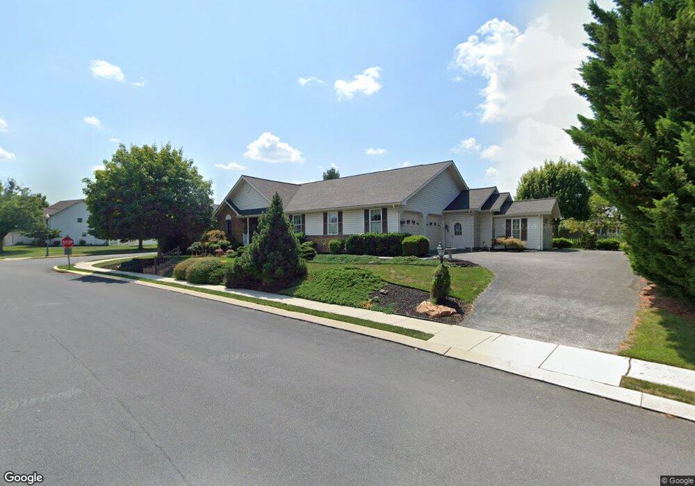
102 Wheaton Dr Unit 84 Littlestown, PA 17340
Estimated Value: $433,000 - $580,000
4
Beds
3
Baths
2,540
Sq Ft
$195/Sq Ft
Est. Value
About This Home
This home is located at 102 Wheaton Dr Unit 84, Littlestown, PA 17340 and is currently estimated at $494,671, approximately $194 per square foot. 102 Wheaton Dr Unit 84 is a home located in Adams County with nearby schools including Rolling Acres El School, Maple Avenue Middle School, and Littlestown Senior High School.
Ownership History
Date
Name
Owned For
Owner Type
Purchase Details
Closed on
Sep 19, 2007
Sold by
Smith Keith B and Smith Kimberly A
Bought by
Bennett William J and Bennett Susan T
Current Estimated Value
Home Financials for this Owner
Home Financials are based on the most recent Mortgage that was taken out on this home.
Original Mortgage
$319,920
Outstanding Balance
$202,759
Interest Rate
6.59%
Mortgage Type
New Conventional
Estimated Equity
$291,912
Create a Home Valuation Report for This Property
The Home Valuation Report is an in-depth analysis detailing your home's value as well as a comparison with similar homes in the area
Home Values in the Area
Average Home Value in this Area
Purchase History
| Date | Buyer | Sale Price | Title Company |
|---|---|---|---|
| Bennett William J | $399,900 | -- |
Source: Public Records
Mortgage History
| Date | Status | Borrower | Loan Amount |
|---|---|---|---|
| Open | Bennett William J | $319,920 |
Source: Public Records
Tax History Compared to Growth
Tax History
| Year | Tax Paid | Tax Assessment Tax Assessment Total Assessment is a certain percentage of the fair market value that is determined by local assessors to be the total taxable value of land and additions on the property. | Land | Improvement |
|---|---|---|---|---|
| 2025 | $7,011 | $370,400 | $47,000 | $323,400 |
| 2024 | $6,702 | $370,400 | $47,000 | $323,400 |
| 2023 | $6,569 | $370,400 | $47,000 | $323,400 |
| 2022 | $6,566 | $370,400 | $47,000 | $323,400 |
| 2021 | $6,334 | $370,400 | $47,000 | $323,400 |
| 2020 | $6,243 | $370,400 | $47,000 | $323,400 |
| 2019 | $6,110 | $370,400 | $47,000 | $323,400 |
| 2018 | $5,977 | $370,400 | $47,000 | $323,400 |
| 2017 | $5,771 | $370,400 | $47,000 | $323,400 |
| 2016 | -- | $370,400 | $47,000 | $323,400 |
| 2015 | -- | $370,400 | $47,000 | $323,400 |
| 2014 | -- | $370,400 | $47,000 | $323,400 |
Source: Public Records
Map
Nearby Homes
- 5 Manor Cir Unit 103
- 449 Glenwyn Dr
- 41 Smith Cir
- 567 Lumber St
- 559 Lumber St
- 535 Lumber St
- 43 Ashfield Dr Unit 14
- 349 Basehoar School Rd Unit 5
- 211 E King St
- 162 Newark St
- 61 E King St
- 115 Charles St
- 117 Charles St
- 440 N Queen St
- 140 Apple Grove Ln Unit 425
- 135 Apple Grove Ln Unit 438
- 129 W King St
- 0 Locust Dr Unit PAAD2015910
- 20c Locust Dr
- 20 Locust Dr
- 604 Parkway Dr Unit 85
- 104 Wheaton Dr Unit 136
- 101 Wheaton Dr Unit 83
- 602 Parkway Dr Unit 86
- 40 Wheaton Dr Unit 106
- 138 Wheaton Dr Unit 124
- 103 Wheaton Dr Unit 125
- 605 Parkway Dr Unit 107
- 106 Wheaton Dr Unit 135
- 603 Parkway Dr Unit 108
- 41 Wheaton Dr Unit 82
- 136 Wheaton Dr Unit 123
- 2 Wheaton Dr Unit 87
- 108 Wheaton Dr Unit 134
- 39 Wheaton Dr Unit 81
- 1 Manor Cir Unit 105
- 706 Parkway Dr Unit 177
- 134 Wheaton Dr Unit 122
- 139 Wheaton Dr Unit 58
- 107 Wheaton Dr Unit 127