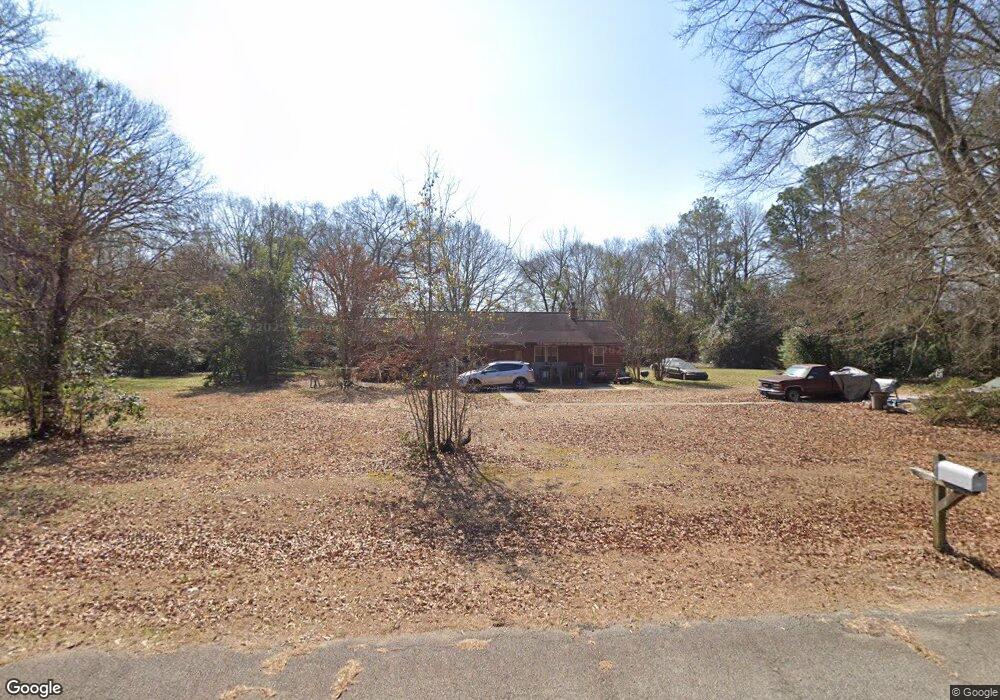
102 William Dr Warner Robins, GA 31093
Estimated Value: $194,911 - $258,000
3
Beds
2
Baths
1,624
Sq Ft
$146/Sq Ft
Est. Value
About This Home
This home is located at 102 William Dr, Warner Robins, GA 31093 and is currently estimated at $237,228, approximately $146 per square foot. 102 William Dr is a home located in Houston County with nearby schools including Centerville Elementary School, Thomson Middle School, and Northside High School.
Ownership History
Date
Name
Owned For
Owner Type
Purchase Details
Closed on
Sep 9, 1974
Sold by
Thomson Larry F
Bought by
Gwathney Walter G
Current Estimated Value
Purchase Details
Closed on
Dec 22, 1970
Sold by
Thomson Loronzo H
Bought by
Thomson Larry F
Purchase Details
Closed on
Dec 17, 1968
Bought by
Thomson Loronzo H and Thomson Larry F
Create a Home Valuation Report for This Property
The Home Valuation Report is an in-depth analysis detailing your home's value as well as a comparison with similar homes in the area
Home Values in the Area
Average Home Value in this Area
Purchase History
| Date | Buyer | Sale Price | Title Company |
|---|---|---|---|
| Gwathney Walter G | -- | -- | |
| Thomson Larry F | -- | -- | |
| Thomson Loronzo H | -- | -- |
Source: Public Records
Tax History Compared to Growth
Tax History
| Year | Tax Paid | Tax Assessment Tax Assessment Total Assessment is a certain percentage of the fair market value that is determined by local assessors to be the total taxable value of land and additions on the property. | Land | Improvement |
|---|---|---|---|---|
| 2024 | $1,280 | $55,520 | $12,560 | $42,960 |
| 2023 | $1,029 | $44,560 | $9,840 | $34,720 |
| 2022 | $932 | $40,560 | $9,840 | $30,720 |
| 2021 | $853 | $37,120 | $9,840 | $27,280 |
| 2020 | $829 | $35,960 | $9,840 | $26,120 |
| 2019 | $829 | $35,960 | $9,840 | $26,120 |
| 2018 | $829 | $35,960 | $9,840 | $26,120 |
| 2017 | $830 | $35,960 | $9,840 | $26,120 |
| 2016 | $831 | $35,960 | $9,840 | $26,120 |
| 2015 | $833 | $35,960 | $9,840 | $26,120 |
| 2014 | -- | $35,960 | $9,840 | $26,120 |
| 2013 | -- | $35,960 | $9,840 | $26,120 |
Source: Public Records
Map
Nearby Homes
- 205 Cambridge Dr
- 918 Collins Ave Unit 36
- 918 Collins Ave Unit 2
- 118 Ridgewood Dr
- 204 S Cambridge Dr
- 116 Red Birch Ln
- 222 Ridgewood Dr
- 305 Brantley Rd Unit 14
- 305 Brantley Rd Unit 37
- 305 Brantley Rd Unit 6
- 400 S Cambridge Dr
- 104 Sourwood Ln
- 111 Shamrock Dr
- 119 Sourwood Ln
- 1089 Dunbar Rd
- 141 Back Cedar Ln
- 708 N Houston Lake Blvd
- 106 Arbor Creek
- 184 Giles Rd
- 175 Arbor Creek
- 105 William Dr
- 104 William Dr
- 116 Deborah Dr
- 114 Deborah Dr
- 111 Deborah Dr
- 109 Deborah Dr
- 107 William Dr
- 113 Deborah Dr
- 117 Deborah Dr
- 105 Queens Ct
- 104 Deborah Dr
- 104 Coventry Dr
- 119 Deborah Dr
- 104 Saxon Ct
- 102 Deborah Dr
- 1004 N Houston Lake Blvd
- 121 Deborah Dr
- 110 Jane Dr
- 213 Surrey Dr
- N N Houston Lake Blvd