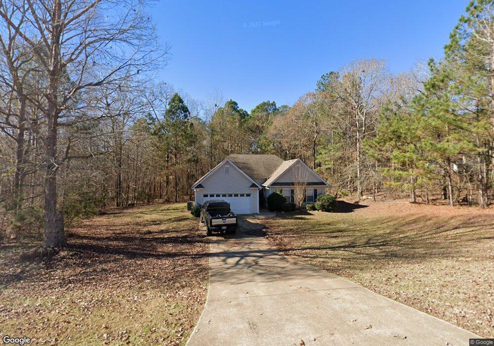
102 Woodstream Trail Lagrange, GA 30240
Estimated Value: $241,765 - $273,000
3
Beds
2
Baths
1,358
Sq Ft
$192/Sq Ft
Est. Value
About This Home
This home is located at 102 Woodstream Trail, Lagrange, GA 30240 and is currently estimated at $261,191, approximately $192 per square foot. 102 Woodstream Trail is a home located in Troup County with nearby schools including Long Cane Elementary School, Berta Weathersbee Elementary School, and West Point Elementary School.
Ownership History
Date
Name
Owned For
Owner Type
Purchase Details
Closed on
Oct 29, 2009
Sold by
West Donald W
Bought by
West Point Properties Llc
Current Estimated Value
Purchase Details
Closed on
Mar 18, 2002
Sold by
C & W Deve Inc
Bought by
Fether Land Development Inc
Purchase Details
Closed on
Feb 1, 2002
Sold by
C & W Development
Bought by
C & W Deve Inc
Purchase Details
Closed on
Aug 22, 2000
Bought by
C & W Development
Create a Home Valuation Report for This Property
The Home Valuation Report is an in-depth analysis detailing your home's value as well as a comparison with similar homes in the area
Purchase History
| Date | Buyer | Sale Price | Title Company |
|---|---|---|---|
| West Point Properties Llc | $75,000 | -- | |
| West Point Properties Llc | $75,000 | -- | |
| Fether Land Development Inc | -- | -- | |
| C & W Deve Inc | $93,000 | -- | |
| C & W Development | -- | -- |
Source: Public Records
Tax History
| Year | Tax Paid | Tax Assessment Tax Assessment Total Assessment is a certain percentage of the fair market value that is determined by local assessors to be the total taxable value of land and additions on the property. | Land | Improvement |
|---|---|---|---|---|
| 2025 | $2,589 | $94,920 | $14,000 | $80,920 |
| 2024 | $2,145 | $78,640 | $14,000 | $64,640 |
| 2023 | $2,042 | $74,880 | $10,000 | $64,880 |
| 2022 | $1,598 | $57,240 | $10,000 | $47,240 |
| 2021 | $1,679 | $55,680 | $10,000 | $45,680 |
| 2020 | $1,619 | $53,680 | $8,000 | $45,680 |
| 2019 | $1,502 | $49,800 | $8,000 | $41,800 |
| 2018 | $1,438 | $47,680 | $8,000 | $39,680 |
| 2017 | $1,438 | $47,680 | $8,000 | $39,680 |
| 2016 | $1,400 | $46,412 | $8,000 | $38,412 |
| 2015 | $1,391 | $46,036 | $10,000 | $36,036 |
| 2014 | $1,134 | $37,467 | $7,000 | $30,467 |
| 2013 | -- | $37,518 | $7,000 | $30,518 |
Source: Public Records
Map
Nearby Homes
- 107 Sweetwater Ct
- 107 Waters Edge Dr
- 102 Bridgewater Dr
- 5714 W Point Rd
- 104 Hidden Springs Dr
- 124 Lincoln Ln
- 640 Hudson Rd
- 104 Landings Way
- 106 Landings Way
- 102 Landings Way
- 101 Riverbluff Dr
- 119 Plymouth Dr
- 311 Cumberland Dr
- 90 Hickory Ln
- 101 Ivy Springs Dr
- 109 Riverbluff Dr
- 113 Colonial Ct Unit 100
- 201 Lakeview Ct
- 266 Glass Bridge Rd
- 474 Newton Rd
- 104 Woodstream Trail
- 108 Waters Edge Dr
- 101 Woodstream Trail
- 103 Sweetwater Ct
- 105 Sweetwater Ct
- 103 Woodstream Trail
- 109 Sweetwater Ct
- 105 Woodstream Trail
- 109 Waters Edge Dr
- 111 Sweetwater Ct
- 106 Waters Edge Dr
- 4 Lots Waters Edge Dr
- 112 Waters Edge Dr
- 111 Waters Edge Dr
- 108 Woodstream Trail
- 110 Sweetwater Ct
- 108 Sweetwater Ct
- 107 Woodstream Trail
- 122 Sweetwater Ct
- 113 Waters Edge Dr
Your Personal Tour Guide
Ask me questions while you tour the home.