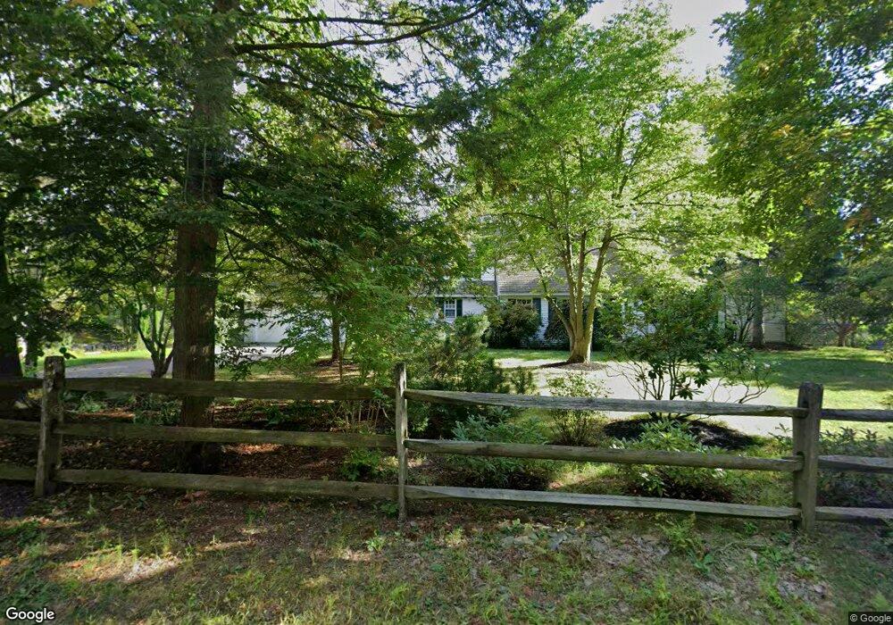
102 Worcester Rd Hollis, NH 03049
Hollis NeighborhoodEstimated Value: $967,000 - $1,010,000
3
Beds
4
Baths
3,680
Sq Ft
$268/Sq Ft
Est. Value
About This Home
This home is located at 102 Worcester Rd, Hollis, NH 03049 and is currently estimated at $988,074, approximately $268 per square foot. 102 Worcester Rd is a home with nearby schools including Hollis Primary School, Hollis Upper Elementary School, and Hollis-Brookline Middle School.
Ownership History
Date
Name
Owned For
Owner Type
Purchase Details
Closed on
Nov 17, 2022
Sold by
Sarah Green Hoess Ret and Green-Hoess
Bought by
Hoess Sean and Hoess Karina
Current Estimated Value
Home Financials for this Owner
Home Financials are based on the most recent Mortgage that was taken out on this home.
Original Mortgage
$650,000
Outstanding Balance
$629,034
Interest Rate
7.08%
Mortgage Type
Purchase Money Mortgage
Estimated Equity
$359,040
Create a Home Valuation Report for This Property
The Home Valuation Report is an in-depth analysis detailing your home's value as well as a comparison with similar homes in the area
Home Values in the Area
Average Home Value in this Area
Purchase History
| Date | Buyer | Sale Price | Title Company |
|---|---|---|---|
| Hoess Sean | $850,000 | None Available | |
| Hoess Sean | $850,000 | None Available |
Source: Public Records
Mortgage History
| Date | Status | Borrower | Loan Amount |
|---|---|---|---|
| Open | Hoess Sean | $650,000 |
Source: Public Records
Tax History
| Year | Tax Paid | Tax Assessment Tax Assessment Total Assessment is a certain percentage of the fair market value that is determined by local assessors to be the total taxable value of land and additions on the property. | Land | Improvement |
|---|---|---|---|---|
| 2024 | $13,056 | $736,400 | $253,200 | $483,200 |
| 2023 | $12,268 | $736,400 | $253,200 | $483,200 |
| 2022 | $18,848 | $835,100 | $253,200 | $581,900 |
| 2021 | $11,636 | $512,600 | $166,000 | $346,600 |
| 2020 | $11,882 | $512,600 | $166,000 | $346,600 |
| 2019 | $11,841 | $512,600 | $166,000 | $346,600 |
| 2018 | $11,108 | $512,600 | $166,000 | $346,600 |
| 2017 | $11,512 | $497,300 | $146,000 | $351,300 |
| 2016 | $11,652 | $497,300 | $146,000 | $351,300 |
| 2015 | $11,448 | $497,300 | $146,000 | $351,300 |
| 2014 | $11,503 | $497,300 | $146,000 | $351,300 |
| 2013 | $11,348 | $497,300 | $146,000 | $351,300 |
Source: Public Records
Map
Nearby Homes
- 136 2-8-1 Worcester Rd
- 136-2 Worcester Rd
- 2-5-1 Worcester Rd
- 99 Worcester Rd
- 14 Franklin Way
- 14 Franklin Way
- 95 Worcester Rd
- 112 Worcester Rd
- 226 Ridge Rd
- 103 Worcester Rd
- 12 Franklin Way
- 115 Worcester Rd
- 91 Worcester Rd
- 18 Flagg Rd
- 86 Worcester Rd
- 34 Flagg Rd
- 11 Franklins Way
- 255 Ridge Rd
- 11 Franklin Way
- 234 Ridge Rd
Your Personal Tour Guide
Ask me questions while you tour the home.