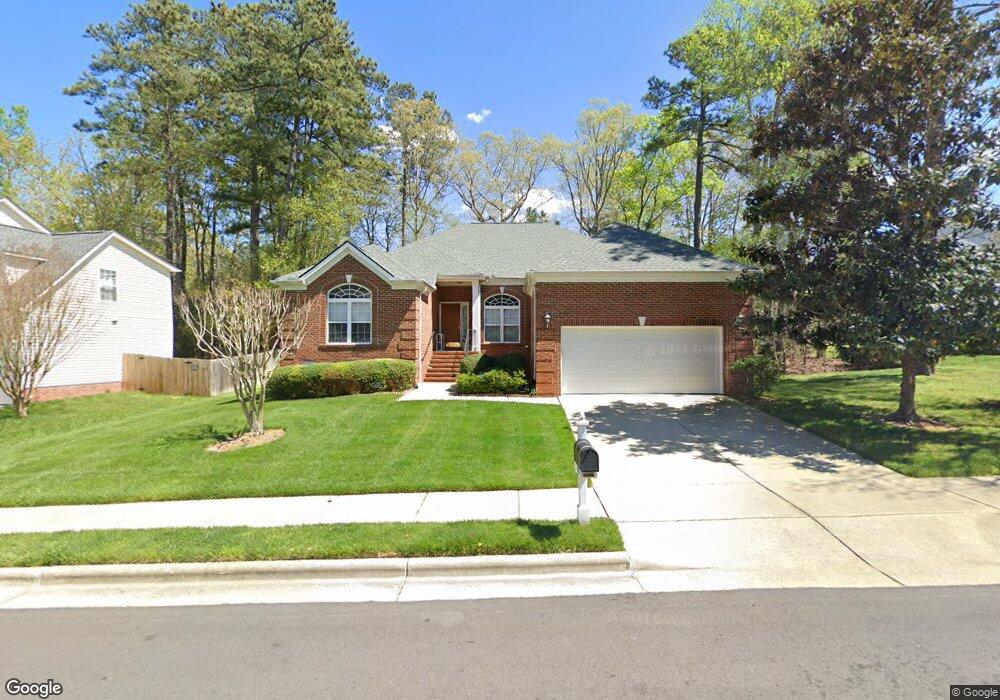
102 Worsham Dr Chapel Hill, NC 27516
Estimated Value: $670,216 - $751,000
4
Beds
3
Baths
2,365
Sq Ft
$300/Sq Ft
Est. Value
About This Home
This home is located at 102 Worsham Dr, Chapel Hill, NC 27516 and is currently estimated at $708,804, approximately $299 per square foot. 102 Worsham Dr is a home located in Orange County with nearby schools including Northside Elementary School, Smith Middle School, and Chapel Hill High School.
Ownership History
Date
Name
Owned For
Owner Type
Purchase Details
Closed on
Jul 9, 2024
Sold by
Spector Sonia
Bought by
Sonia Spector Revocable Trust and Spector
Current Estimated Value
Purchase Details
Closed on
Jun 14, 2002
Sold by
M/I Schottenstein Homes Inc
Bought by
Spector Sonia
Home Financials for this Owner
Home Financials are based on the most recent Mortgage that was taken out on this home.
Original Mortgage
$150,000
Interest Rate
6.77%
Create a Home Valuation Report for This Property
The Home Valuation Report is an in-depth analysis detailing your home's value as well as a comparison with similar homes in the area
Home Values in the Area
Average Home Value in this Area
Purchase History
| Date | Buyer | Sale Price | Title Company |
|---|---|---|---|
| Sonia Spector Revocable Trust | -- | None Listed On Document | |
| Spector Sonia | $299,500 | -- |
Source: Public Records
Mortgage History
| Date | Status | Borrower | Loan Amount |
|---|---|---|---|
| Previous Owner | Spector Sonia | $150,000 |
Source: Public Records
Tax History Compared to Growth
Tax History
| Year | Tax Paid | Tax Assessment Tax Assessment Total Assessment is a certain percentage of the fair market value that is determined by local assessors to be the total taxable value of land and additions on the property. | Land | Improvement |
|---|---|---|---|---|
| 2025 | $8,545 | $641,100 | $260,000 | $381,100 |
| 2024 | $7,306 | $425,200 | $150,000 | $275,200 |
| 2023 | $7,108 | $425,200 | $150,000 | $275,200 |
| 2022 | $6,814 | $425,200 | $150,000 | $275,200 |
| 2021 | $6,619 | $418,100 | $150,000 | $268,100 |
| 2020 | $6,735 | $399,900 | $150,000 | $249,900 |
| 2018 | $0 | $399,900 | $150,000 | $249,900 |
| 2017 | $5,843 | $399,900 | $150,000 | $249,900 |
| 2016 | $5,843 | $349,692 | $72,825 | $276,867 |
| 2015 | $5,843 | $349,692 | $72,825 | $276,867 |
| 2014 | -- | $349,692 | $72,825 | $276,867 |
Source: Public Records
Map
Nearby Homes
- 200 Worsham Dr
- 437 New Parkside Dr
- 300 Christine Ct
- 427 New Parkside Dr
- 132 Malbec Dr
- 128 Rialto St
- 115 Gamey Dr
- 124 Malbec Way
- 115 Gamay Dr
- 124 Malbec Dr
- Plan 1913 Modeled at Bridgepoint
- Plan 1731 Modeled at Bridgepoint
- Plan 1566 Modeled at Bridgepoint
- 103 Golden Gate Ln
- 114 Malbec Dr
- 105 Golden Gate Ln
- 101 Gamay Dr
- 113 Sydney Harbor St
- 104 Malbec Way
- 104 Malbec Dr
- 104 Worsham Dr
- 201 Laurens Way
- 103 Caitlin Ct
- 203 Laurens Way
- 106 Worsham Dr
- 105 Caitlin Ct
- 205 Laurens Way
- 105 Worsham Dr
- 103 Worsham Dr
- 107 Worsham Dr
- 109 Worsham Dr
- 108 Worsham Dr
- 200 Laurens Way
- 202 Laurens Way
- 102 Laurens Way
- 301 Laurens Way
- 204 Laurens Way
- 102 Caitlin Ct
- 100 Laurens Way
- 206 Laurens Way