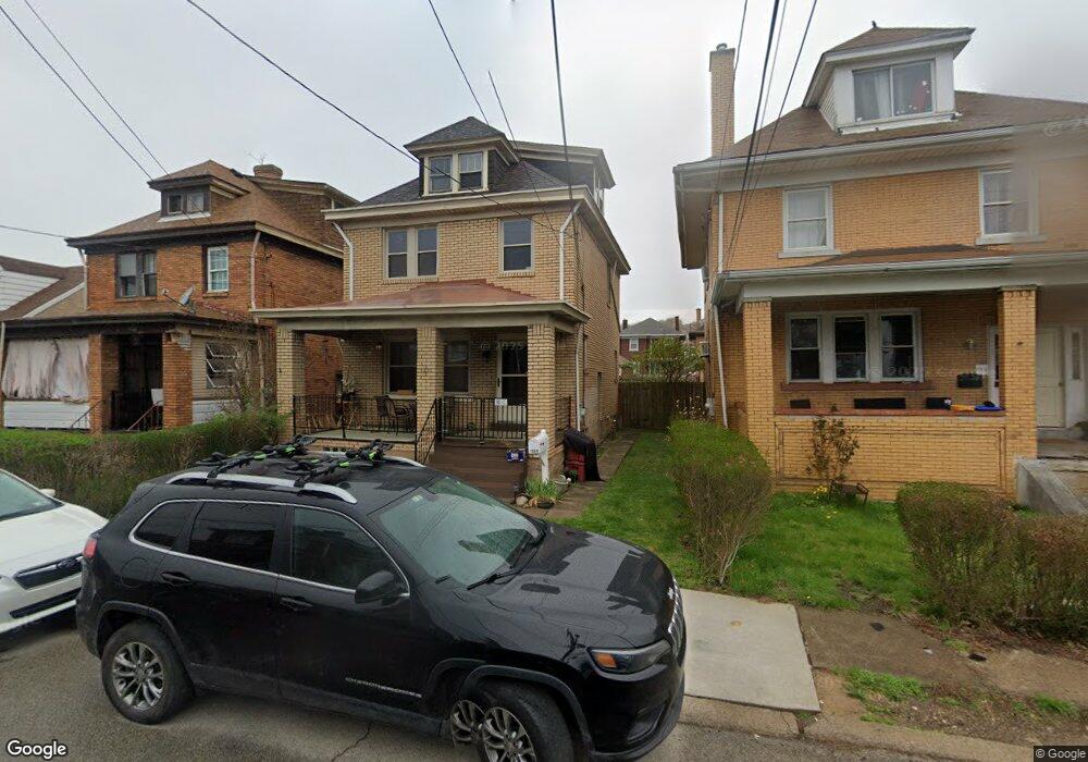
1020 1st St Mc Kees Rocks, PA 15136
McKees Rocks NeighborhoodEstimated Value: $66,000 - $146,639
4
Beds
1
Bath
1,523
Sq Ft
$71/Sq Ft
Est. Value
About This Home
This home is located at 1020 1st St, Mc Kees Rocks, PA 15136 and is currently estimated at $107,910, approximately $70 per square foot. 1020 1st St is a home located in Allegheny County with nearby schools including Sto-Rox Upper Elementary School, Sto-Rox Primary Center, and Sto-Rox Junior/Senior High School.
Ownership History
Date
Name
Owned For
Owner Type
Purchase Details
Closed on
Apr 24, 2019
Sold by
White Shannon B
Bought by
Long Kerry A
Current Estimated Value
Purchase Details
Closed on
Jan 26, 2009
Sold by
Ficarri Anthony R
Bought by
Long Kerry A and White,Shannon B
Home Financials for this Owner
Home Financials are based on the most recent Mortgage that was taken out on this home.
Original Mortgage
$42,500
Interest Rate
5.51%
Mortgage Type
New Conventional
Purchase Details
Closed on
Dec 28, 1994
Sold by
Mccartney Genevieve L
Bought by
Wenzell James C and Hartzell Betty C
Create a Home Valuation Report for This Property
The Home Valuation Report is an in-depth analysis detailing your home's value as well as a comparison with similar homes in the area
Home Values in the Area
Average Home Value in this Area
Purchase History
| Date | Buyer | Sale Price | Title Company |
|---|---|---|---|
| Long Kerry A | $36,195 | Pennsylvania Land Titles | |
| Long Kerry A | $66,500 | -- | |
| Wenzell James C | $45,900 | -- |
Source: Public Records
Mortgage History
| Date | Status | Borrower | Loan Amount |
|---|---|---|---|
| Previous Owner | Long Kerry A | $42,500 |
Source: Public Records
Tax History Compared to Growth
Tax History
| Year | Tax Paid | Tax Assessment Tax Assessment Total Assessment is a certain percentage of the fair market value that is determined by local assessors to be the total taxable value of land and additions on the property. | Land | Improvement |
|---|---|---|---|---|
| 2025 | $1,917 | $45,500 | $10,300 | $35,200 |
| 2024 | $1,917 | $45,500 | $10,300 | $35,200 |
| 2023 | $1,841 | $45,500 | $10,300 | $35,200 |
| 2022 | $1,780 | $45,500 | $10,300 | $35,200 |
| 2021 | $215 | $45,500 | $10,300 | $35,200 |
| 2020 | $1,739 | $45,500 | $10,300 | $35,200 |
| 2019 | $1,739 | $45,500 | $10,300 | $35,200 |
| 2018 | $215 | $45,500 | $10,300 | $35,200 |
| 2017 | $1,698 | $45,500 | $10,300 | $35,200 |
| 2016 | $215 | $45,500 | $10,300 | $35,200 |
| 2015 | $215 | $45,500 | $10,300 | $35,200 |
| 2014 | $1,584 | $45,500 | $10,300 | $35,200 |
Source: Public Records
Map
Nearby Homes
- 916 2nd St
- 912 1/2 2nd St
- 211 Bruce St
- 827 1/2 Frank St
- 828 Frank St
- 334 Russellwood Ave
- 108 Greydon Ave
- 110 Greydon Ave
- 112 Greydon Ave
- 114 Greydon Ave
- 122 Greydon Ave
- 120 Greydon Ave
- 420 Broadway Ave
- 1140 Taggart St
- 764 Mary St
- 416 Grove St
- 841 Railroad St
- 1236 Church Ave
- 1238 Church Ave
- 733 Mary St