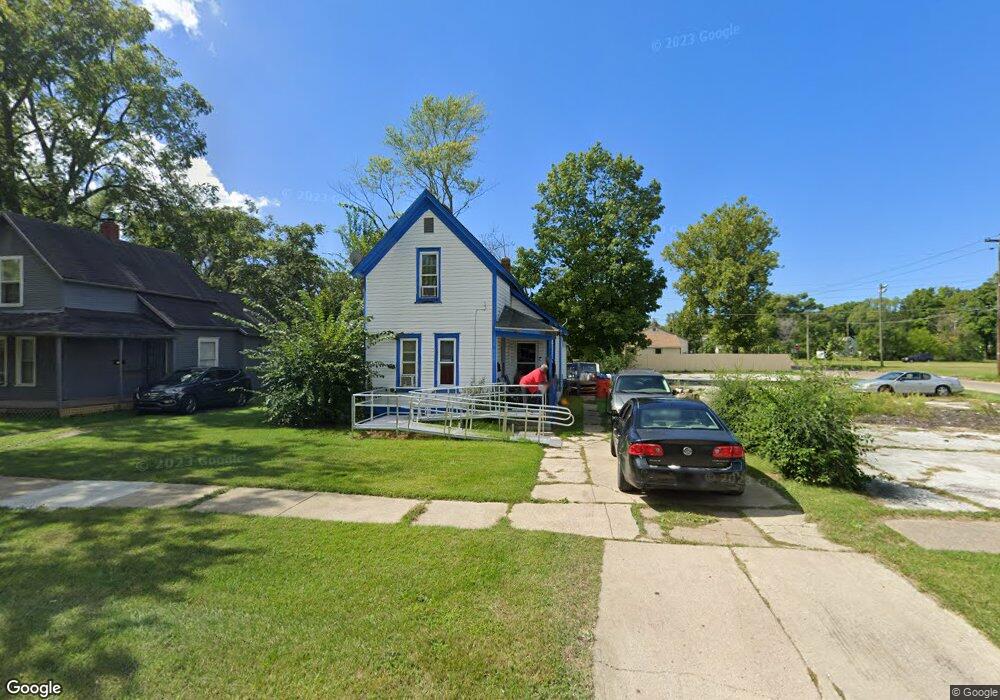
1020 Agard Ave Benton Harbor, MI 49022
Estimated Value: $74,000 - $117,000
4
Beds
1
Bath
1,302
Sq Ft
$72/Sq Ft
Est. Value
About This Home
This home is located at 1020 Agard Ave, Benton Harbor, MI 49022 and is currently estimated at $93,109, approximately $71 per square foot. 1020 Agard Ave is a home located in Berrien County with nearby schools including Fair Plain Middle School, Benton Harbor High School, and Benton Harbor Charter School Academy.
Ownership History
Date
Name
Owned For
Owner Type
Purchase Details
Closed on
Nov 12, 2021
Sold by
Collin Anthony
Bought by
Collin Allen
Current Estimated Value
Purchase Details
Closed on
Jun 8, 2017
Sold by
Mcfall Mark
Bought by
Cohn Anthony
Purchase Details
Closed on
Jun 9, 2005
Sold by
Lewis Ruthie
Bought by
Novastar Mortgage Inc
Purchase Details
Closed on
Jun 19, 1998
Purchase Details
Closed on
May 14, 1996
Purchase Details
Closed on
May 3, 1994
Purchase Details
Closed on
Mar 4, 1994
Purchase Details
Closed on
Jul 31, 1989
Purchase Details
Closed on
May 7, 1989
Purchase Details
Closed on
Aug 3, 1981
Purchase Details
Closed on
Nov 1, 1979
Create a Home Valuation Report for This Property
The Home Valuation Report is an in-depth analysis detailing your home's value as well as a comparison with similar homes in the area
Home Values in the Area
Average Home Value in this Area
Purchase History
| Date | Buyer | Sale Price | Title Company |
|---|---|---|---|
| Collin Allen | -- | Nova | |
| Cohn Anthony | $2,500 | Attorney | |
| Novastar Mortgage Inc | $25,978 | -- | |
| -- | $42,000 | -- | |
| -- | -- | -- | |
| -- | -- | -- | |
| -- | -- | -- | |
| -- | -- | -- | |
| -- | $3,500 | -- | |
| -- | $5,000 | -- | |
| -- | $5,000 | -- |
Source: Public Records
Tax History Compared to Growth
Tax History
| Year | Tax Paid | Tax Assessment Tax Assessment Total Assessment is a certain percentage of the fair market value that is determined by local assessors to be the total taxable value of land and additions on the property. | Land | Improvement |
|---|---|---|---|---|
| 2025 | $472 | $27,600 | $0 | $0 |
| 2024 | $447 | $24,100 | $0 | $0 |
| 2023 | $328 | $16,800 | $0 | $0 |
| 2022 | $754 | $12,500 | $0 | $0 |
| 2021 | $415 | $12,200 | $700 | $11,500 |
| 2020 | $410 | $10,800 | $0 | $0 |
| 2019 | $403 | $9,400 | $0 | $0 |
| 2018 | $404 | $8,800 | $0 | $0 |
| 2017 | $827 | $13,400 | $0 | $0 |
| 2016 | $1,569 | $13,500 | $0 | $0 |
| 2015 | $1,976 | $13,000 | $0 | $0 |
| 2014 | $878 | $15,700 | $0 | $0 |
Source: Public Records
Map
Nearby Homes
- 960 Union Ave
- 1129 Jennings Ave
- 960 Jennings Ave
- 1219 Ogden Ave
- 0 V/L E Empire Ave
- 1337 Agard Ave
- 361 E May St
- 1097 Pearl St
- 688 S Fair Ave
- 1380 Milton St
- 972 Pearl St
- 349 E Empire Ave
- 1301 Superior St
- 730 Superior St
- 833 Pearl St
- 1332 Columbus Ave
- 2872 Pipestone Rd
- 1267 Broadway
- 1045 Broadway
- 2508 Pipestone Rd