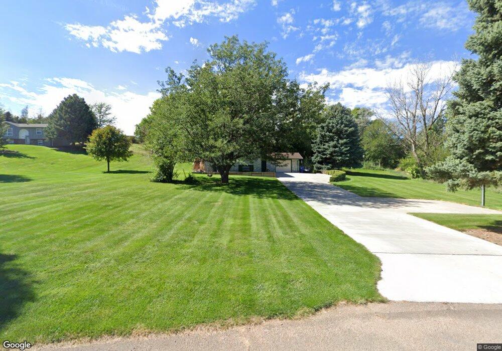
1020 Apache Dr North Platte, NE 69101
Estimated Value: $289,703 - $338,000
3
Beds
3
Baths
1,144
Sq Ft
$274/Sq Ft
Est. Value
About This Home
This home is located at 1020 Apache Dr, North Platte, NE 69101 and is currently estimated at $313,926, approximately $274 per square foot. 1020 Apache Dr is a home located in Lincoln County with nearby schools including North Platte High School and Mc Daid Elementary School.
Ownership History
Date
Name
Owned For
Owner Type
Purchase Details
Closed on
Jan 30, 2015
Sold by
Wilson Billy J and Wilson Jessica L
Bought by
Connelly Jarrod J and Connelly Latisha S
Current Estimated Value
Home Financials for this Owner
Home Financials are based on the most recent Mortgage that was taken out on this home.
Original Mortgage
$192,600
Outstanding Balance
$146,607
Interest Rate
3.83%
Mortgage Type
New Conventional
Estimated Equity
$167,319
Purchase Details
Closed on
May 1, 2009
Sold by
Carl Daniel H and Carl Debra G
Bought by
Mccall Jessica L and Wilson Billy J
Home Financials for this Owner
Home Financials are based on the most recent Mortgage that was taken out on this home.
Original Mortgage
$121,600
Interest Rate
4.76%
Mortgage Type
New Conventional
Create a Home Valuation Report for This Property
The Home Valuation Report is an in-depth analysis detailing your home's value as well as a comparison with similar homes in the area
Home Values in the Area
Average Home Value in this Area
Purchase History
| Date | Buyer | Sale Price | Title Company |
|---|---|---|---|
| Connelly Jarrod J | -- | None Available | |
| Mccall Jessica L | $136,800 | None Available |
Source: Public Records
Mortgage History
| Date | Status | Borrower | Loan Amount |
|---|---|---|---|
| Open | Connelly Jarrod J | $192,600 | |
| Previous Owner | Mccall Jessica L | $121,600 |
Source: Public Records
Tax History
| Year | Tax Paid | Tax Assessment Tax Assessment Total Assessment is a certain percentage of the fair market value that is determined by local assessors to be the total taxable value of land and additions on the property. | Land | Improvement |
|---|---|---|---|---|
| 2025 | $2,773 | $288,409 | $38,250 | $250,159 |
| 2024 | $3,411 | $269,878 | $38,250 | $231,628 |
| 2023 | $3,411 | $248,185 | $38,250 | $209,935 |
| 2022 | $3,031 | $209,450 | $38,250 | $171,200 |
| 2021 | $3,056 | $209,450 | $38,250 | $171,200 |
| 2020 | $3,113 | $209,450 | $38,250 | $171,200 |
| 2019 | $3,006 | $201,585 | $24,269 | $177,316 |
| 2018 | $2,778 | $184,940 | $22,265 | $162,675 |
| 2017 | $2,794 | $184,940 | $22,265 | $162,675 |
| 2016 | $2,845 | $184,940 | $22,265 | $162,675 |
| 2014 | $2,480 | $151,925 | $22,265 | $129,660 |
Source: Public Records
Map
Nearby Homes
- 1101 Tomahawk Rd
- 602 Tomahawk Rd
- 2421 W State Farm Rd
- 2421 W State Farm Rd Unit North Platte NE 6910
- N Platte Unit NE 69101
- 0 State Farm Road Long Acreage W
- N Platte Unit NE 69101
- 0 S Buffalo Bill Development
- N Platte Unit NE 69101
- N Platte Unit NE 69101
- 0 Buffalo Triangle Frontage
- 0 State Farm Road Short Acreage W
- 0 State Farm Road Short Acreage E
- N Platte Unit NE 69101
- 0 State Farm Road Long Acreage E
- N Platte Unit NE 69101
- 0 N Buffalo Bill Grass
- N Platte Unit NE 69101
- 0 Unit 11584518
- 0 Unit Lot
Your Personal Tour Guide
Ask me questions while you tour the home.