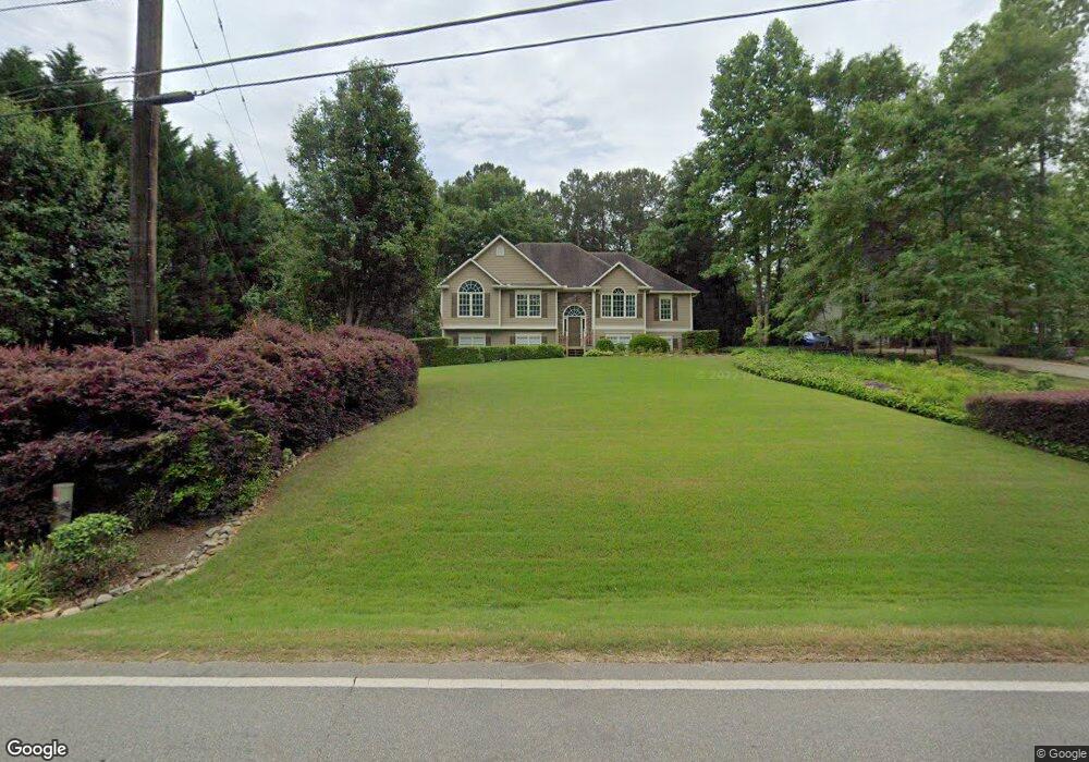
1020 Avery Rd Canton, GA 30115
Union Hill NeighborhoodEstimated Value: $410,610 - $419,000
3
Beds
2
Baths
1,864
Sq Ft
$223/Sq Ft
Est. Value
About This Home
This home is located at 1020 Avery Rd, Canton, GA 30115 and is currently estimated at $414,805, approximately $222 per square foot. 1020 Avery Rd is a home located in Cherokee County with nearby schools including Avery Elementary School, Creekland Middle School, and Creekview High School.
Ownership History
Date
Name
Owned For
Owner Type
Purchase Details
Closed on
Oct 11, 2002
Sold by
Woodall Construction Co Inc
Bought by
Scott Gary L and Scott Laura D
Current Estimated Value
Home Financials for this Owner
Home Financials are based on the most recent Mortgage that was taken out on this home.
Original Mortgage
$137,900
Outstanding Balance
$56,806
Interest Rate
6.18%
Mortgage Type
New Conventional
Estimated Equity
$357,999
Create a Home Valuation Report for This Property
The Home Valuation Report is an in-depth analysis detailing your home's value as well as a comparison with similar homes in the area
Home Values in the Area
Average Home Value in this Area
Purchase History
| Date | Buyer | Sale Price | Title Company |
|---|---|---|---|
| Scott Gary L | $187,900 | -- |
Source: Public Records
Mortgage History
| Date | Status | Borrower | Loan Amount |
|---|---|---|---|
| Open | Scott Gary L | $137,900 |
Source: Public Records
Tax History
| Year | Tax Paid | Tax Assessment Tax Assessment Total Assessment is a certain percentage of the fair market value that is determined by local assessors to be the total taxable value of land and additions on the property. | Land | Improvement |
|---|---|---|---|---|
| 2025 | $3,748 | $160,600 | $37,200 | $123,400 |
| 2024 | $3,667 | $157,640 | $37,200 | $120,440 |
| 2023 | $3,214 | $156,800 | $37,200 | $119,600 |
| 2022 | $3,045 | $126,400 | $30,400 | $96,000 |
| 2021 | $2,688 | $100,120 | $21,200 | $78,920 |
| 2020 | $2,496 | $91,760 | $21,200 | $70,560 |
| 2019 | $2,421 | $88,520 | $21,200 | $67,320 |
| 2018 | $2,286 | $82,240 | $21,200 | $61,040 |
| 2017 | $2,267 | $202,400 | $19,200 | $61,760 |
| 2016 | $2,258 | $199,700 | $18,000 | $61,880 |
| 2015 | $1,967 | $173,000 | $16,000 | $53,200 |
| 2014 | $1,851 | $162,800 | $16,000 | $49,120 |
Source: Public Records
Map
Nearby Homes
- 1248 Avery Rd
- 115 Old Avery Dr
- 667 B Avery Rd
- 1498 Pinyan Ln
- 1076 Pinyan Ln
- 120 Prescott Manor Dr
- 3583 Hickory Flat Hwy
- 3581 Hickory Flat Hwy
- 160 Scott Rd
- 2939 Hickory Flat Hwy
- 258 Arliss Dr
- 2790 Hickory Flat Hwy
- 2916 Hickory Flat Hwy
- 1445 Scott Rd
- 432 Edgewater Chase
- 501 Hayes Ln
- 0 Avery Rd Unit 10456365
- 0 Avery Rd Unit 7520681
- 509 Hayes Ln
- 513 Hayes Ln
- 1010 Avery Rd
- 100 Sweetbriar Ct
- 102 Sweetbriar Ct
- 203 Sweetbriar Ln
- 104 Sweetbriar Ct Unit 18
- 104 Sweetbriar Ct
- 1165 Avery Rd
- 202 Sweetbriar Ln
- 200 Sweetbriar Ln
- 1105 Avery Rd
- 209 Sweetbriar Ln
- 204 Sweetbriar Ln
- 101 Sweetbriar Ct
- 106 Sweetbriar Ct
- 103 Sweetbriar Ct
- 103 Sweetbriar Ct Unit 2
- 211 Sweetbriar Ln
- 1055 Avery Rd
- 105 Sweetbriar Ct
- 207 Sweetbriar Ln
Your Personal Tour Guide
Ask me questions while you tour the home.