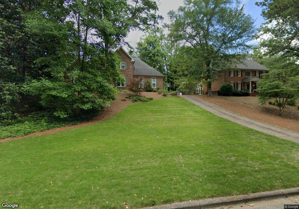
1020 Azalea Dr Roswell, GA 30075
Estimated Value: $764,000 - $840,280
4
Beds
3
Baths
3,181
Sq Ft
$253/Sq Ft
Est. Value
About This Home
This home is located at 1020 Azalea Dr, Roswell, GA 30075 and is currently estimated at $803,320, approximately $252 per square foot. 1020 Azalea Dr is a home located in Fulton County with nearby schools including Roswell North Elementary School, Crabapple Middle School, and High Meadows School.
Ownership History
Date
Name
Owned For
Owner Type
Purchase Details
Closed on
Jun 20, 2005
Sold by
Sexton Thomas N
Bought by
Prendergast John M and Prendergast Christy
Current Estimated Value
Home Financials for this Owner
Home Financials are based on the most recent Mortgage that was taken out on this home.
Original Mortgage
$309,920
Outstanding Balance
$160,754
Interest Rate
5.66%
Mortgage Type
New Conventional
Estimated Equity
$642,566
Create a Home Valuation Report for This Property
The Home Valuation Report is an in-depth analysis detailing your home's value as well as a comparison with similar homes in the area
Home Values in the Area
Average Home Value in this Area
Purchase History
| Date | Buyer | Sale Price | Title Company |
|---|---|---|---|
| Prendergast John M | $387,400 | -- |
Source: Public Records
Mortgage History
| Date | Status | Borrower | Loan Amount |
|---|---|---|---|
| Open | Prendergast John M | $309,920 |
Source: Public Records
Tax History Compared to Growth
Tax History
| Year | Tax Paid | Tax Assessment Tax Assessment Total Assessment is a certain percentage of the fair market value that is determined by local assessors to be the total taxable value of land and additions on the property. | Land | Improvement |
|---|---|---|---|---|
| 2025 | $991 | $247,800 | $71,640 | $176,160 |
| 2023 | $7,376 | $261,320 | $94,280 | $167,040 |
| 2022 | $4,482 | $223,640 | $52,880 | $170,760 |
| 2021 | $5,262 | $209,640 | $48,120 | $161,520 |
| 2020 | $5,347 | $200,840 | $40,760 | $160,080 |
| 2019 | $805 | $197,280 | $40,040 | $157,240 |
| 2018 | $4,005 | $192,640 | $39,080 | $153,560 |
| 2017 | $4,145 | $154,000 | $32,760 | $121,240 |
| 2016 | $4,144 | $154,000 | $32,760 | $121,240 |
| 2015 | $4,305 | $171,120 | $32,760 | $138,360 |
| 2014 | $3,717 | $134,000 | $27,680 | $106,320 |
Source: Public Records
Map
Nearby Homes
- 355 Highlands Trace
- 605 Ga 120 Hwy
- 9035 Sandorn Dr
- 8075 Sandorn Dr
- 8035 Sandorn Dr
- 217 Skyland Dr
- 3016 Glendower Way
- 657 Willeo Rd
- The Carrington Plan at Hillandale in Historic Roswell
- The Rocklyn Plan at Hillandale in Historic Roswell
- The Grafton Plan at Hillandale in Historic Roswell
- The Greighton Plan at Hillandale in Historic Roswell
- 830 Willeo Rd
- 4035 Connolly Ct
- 140 Spring Dr
- 125 Spring Dr
- 9480 Coleman Rd
- 175 Spring Dr
- 1030 Azalea Dr
- 1010 Azalea Dr
- 1000 Azalea Dr
- 1040 Azalea Dr
- 1050 Azalea Dr
- 335 Lochland Cir
- 345 Lochland Cir Unit VII
- 325 Lochland Cir
- 355 Lochland Cir
- 1060 Azalea Dr
- 1070 Azalea Dr
- 315 Lochland Cir
- 980 Azalea Dr
- 365 Lochland Cir
- 1080 Azalea Dr
- 240 Lochland Cir
- 305 Lochland Cir
- 250 Lochland Cir
- 970 Azalea Dr
- 1090 Azalea Dr