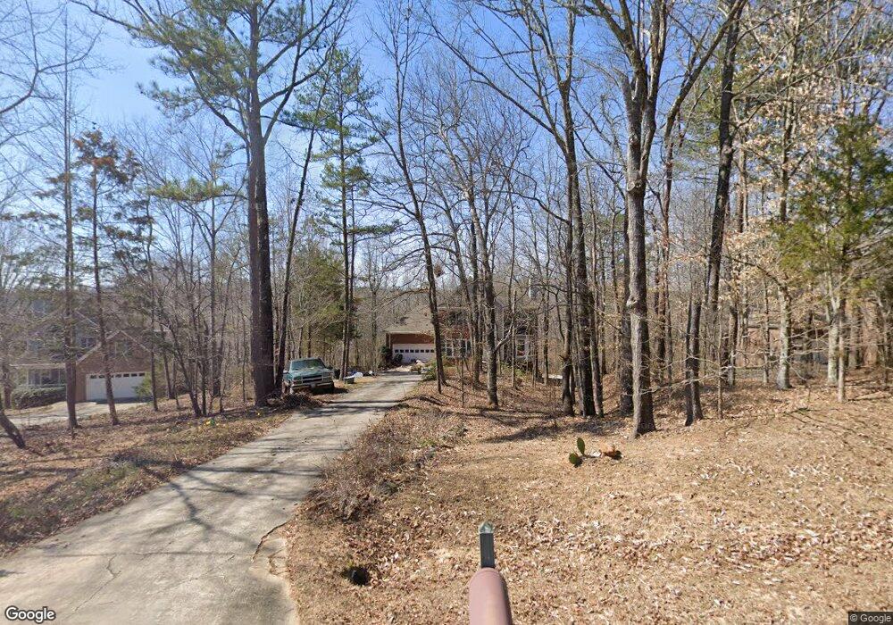
1020 Barnett Ridge Athens, GA 30605
Estimated Value: $505,000 - $569,000
4
Beds
4
Baths
2,122
Sq Ft
$250/Sq Ft
Est. Value
About This Home
This home is located at 1020 Barnett Ridge, Athens, GA 30605 and is currently estimated at $531,130, approximately $250 per square foot. 1020 Barnett Ridge is a home located in Oconee County with nearby schools including Colham Ferry Elementary School, Oconee County Middle School, and Oconee County High School.
Ownership History
Date
Name
Owned For
Owner Type
Purchase Details
Closed on
Oct 14, 2005
Sold by
Mathews Marilyn
Bought by
Moffett James M and Moffett Christina D
Current Estimated Value
Home Financials for this Owner
Home Financials are based on the most recent Mortgage that was taken out on this home.
Original Mortgage
$194,400
Outstanding Balance
$103,724
Interest Rate
5.71%
Mortgage Type
New Conventional
Estimated Equity
$427,406
Purchase Details
Closed on
Apr 16, 1999
Sold by
Bouchard Dermont C
Bought by
Mathews Marilyn
Create a Home Valuation Report for This Property
The Home Valuation Report is an in-depth analysis detailing your home's value as well as a comparison with similar homes in the area
Home Values in the Area
Average Home Value in this Area
Purchase History
| Date | Buyer | Sale Price | Title Company |
|---|---|---|---|
| Moffett James M | $243,000 | -- | |
| Mathews Marilyn | $179,400 | -- |
Source: Public Records
Mortgage History
| Date | Status | Borrower | Loan Amount |
|---|---|---|---|
| Open | Moffett James M | $194,400 |
Source: Public Records
Tax History Compared to Growth
Tax History
| Year | Tax Paid | Tax Assessment Tax Assessment Total Assessment is a certain percentage of the fair market value that is determined by local assessors to be the total taxable value of land and additions on the property. | Land | Improvement |
|---|---|---|---|---|
| 2024 | $2,950 | $159,855 | $36,000 | $123,855 |
| 2023 | $2,950 | $151,003 | $36,000 | $115,003 |
| 2022 | $2,887 | $136,586 | $36,000 | $100,586 |
| 2021 | $2,425 | $106,740 | $28,800 | $77,940 |
| 2020 | $2,326 | $102,324 | $28,800 | $73,524 |
| 2019 | $2,228 | $98,094 | $21,600 | $76,494 |
| 2018 | $2,266 | $97,687 | $21,600 | $76,087 |
| 2017 | $2,121 | $91,529 | $21,600 | $69,929 |
| 2016 | $1,843 | $79,802 | $21,600 | $58,202 |
| 2015 | $1,819 | $78,640 | $21,600 | $57,040 |
| 2014 | $1,808 | $76,432 | $21,600 | $54,832 |
| 2013 | -- | $74,178 | $21,600 | $52,578 |
Source: Public Records
Map
Nearby Homes
- 3095 Ryland Hills Dr
- 3191 Ryland Hills Dr
- 1020 Barnett Place
- 3291 Ryland Hills Dr
- 3868 Barnett Shoals Rd
- 1050 Golf Course Ln
- 3910 S Barnett Shoals Rd
- 1200 Ryland Hills Dr
- 1100 Ryland Hills Dr
- 0 S Barnett Shoals Rd Unit CL336112
- 0 S Barnett Shoals Rd Unit 10579614
- 0 Old Barnett Shoals Rd Unit 22878090
- 1181 Old Barnett Shoals Rd
- 4990 Barnett Shoals Rd
- 4225 Bob Godfrey Rd
- 290 Belmont Rd
- 1191 Old Barnett Shoals Rd
- 1020 Belmont Rd
- 200 Hidden Spring Way
- 2568 Wire Bridge Rd
- 1040 Barnett Ridge
- 1010 Barnett Ridge
- 1050 Barnett Ridge
- 1031 Barnett Ridge
- 1011 Barnett Ridge
- 3640 S Barnett Shoals Rd
- 1041 Barnett Ridge
- 1070 Barnett Ridge
- 1081 Barnett Ridge
- 1080 Barnett Ridge
- 1031 Barnett Place
- 1020 Barnett Dr
- 1030 Barnett Dr
- 1051 Barnett Place
- 1021 Barnett Place
- 1010 Barnett Dr
- 1090 Barnett Ridge
- 1035 Barnett Place Unit 449
- 1035 Barnett Place Unit 450
- 1035 Barnett Place Unit 454