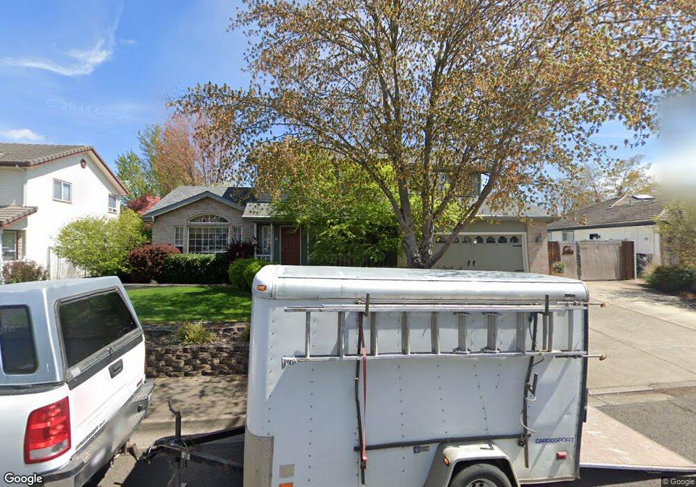
1020 Brandon St Central Point, OR 97502
Estimated Value: $519,479 - $588,000
3
Beds
3
Baths
2,446
Sq Ft
$229/Sq Ft
Est. Value
About This Home
This home is located at 1020 Brandon St, Central Point, OR 97502 and is currently estimated at $559,870, approximately $228 per square foot. 1020 Brandon St is a home located in Jackson County with nearby schools including Richardson Elementary School, Scenic Middle School, and Crater High School.
Ownership History
Date
Name
Owned For
Owner Type
Purchase Details
Closed on
Feb 22, 2010
Sold by
Miller Michael G and Miller Barbara L
Bought by
Miller Michael G and Miller Barbara L
Current Estimated Value
Home Financials for this Owner
Home Financials are based on the most recent Mortgage that was taken out on this home.
Original Mortgage
$124,000
Outstanding Balance
$81,091
Interest Rate
5.03%
Mortgage Type
New Conventional
Estimated Equity
$478,779
Purchase Details
Closed on
Aug 19, 2002
Sold by
Miller Michael G and Miller Barbara L
Bought by
Miller Michael G and Miller Barbara L
Home Financials for this Owner
Home Financials are based on the most recent Mortgage that was taken out on this home.
Original Mortgage
$129,500
Interest Rate
6.52%
Purchase Details
Closed on
Jun 19, 2000
Sold by
Ann Peterson Nick C and Ann Carole
Bought by
Miller Michael G and Miller Barbara L
Home Financials for this Owner
Home Financials are based on the most recent Mortgage that was taken out on this home.
Original Mortgage
$124,000
Interest Rate
8.53%
Create a Home Valuation Report for This Property
The Home Valuation Report is an in-depth analysis detailing your home's value as well as a comparison with similar homes in the area
Purchase History
| Date | Buyer | Sale Price | Title Company |
|---|---|---|---|
| Miller Michael G | -- | Accommodation | |
| Miller Michael G | -- | First American Title | |
| Miller Michael G | -- | First American Title Ins Co | |
| Miller Michael G | $230,000 | Crater Title Insurance |
Source: Public Records
Mortgage History
| Date | Status | Borrower | Loan Amount |
|---|---|---|---|
| Open | Miller Michael G | $124,000 | |
| Closed | Miller Michael G | $129,500 | |
| Closed | Miller Michael G | $124,000 |
Source: Public Records
Tax History
| Year | Tax Paid | Tax Assessment Tax Assessment Total Assessment is a certain percentage of the fair market value that is determined by local assessors to be the total taxable value of land and additions on the property. | Land | Improvement |
|---|---|---|---|---|
| 2026 | $5,846 | $353,240 | -- | -- |
| 2025 | $5,702 | $342,960 | $108,500 | $234,460 |
| 2024 | $5,702 | $332,980 | $105,340 | $227,640 |
| 2023 | $5,519 | $323,290 | $102,270 | $221,020 |
| 2022 | $5,390 | $323,290 | $102,270 | $221,020 |
| 2021 | $5,236 | $313,880 | $99,300 | $214,580 |
| 2020 | $5,083 | $304,740 | $96,410 | $208,330 |
| 2019 | $4,958 | $287,260 | $90,880 | $196,380 |
| 2018 | $4,807 | $278,900 | $88,230 | $190,670 |
| 2017 | $4,686 | $278,900 | $88,230 | $190,670 |
| 2016 | $4,549 | $262,900 | $83,160 | $179,740 |
| 2015 | $4,359 | $262,900 | $83,160 | $179,740 |
| 2014 | $4,248 | $247,820 | $78,390 | $169,430 |
Source: Public Records
Map
Nearby Homes
- 895 Holley Way
- 871 Holley Way
- 556 Glenn Way
- 436 Cheney Loop
- 827 Isherwood Dr
- 3288 Grant Rd
- 349 W Pine St
- 887 Silver Fox Dr
- 166 Nadine Ln
- 114 Cedar St
- 884 Mendolia Way
- 755 S 4th St
- 420 Mayberry Ln
- 220 S 3rd St
- 350 Alder St
- 1065 Edwina Ave
- 3600 N Pacific Hwy
- 407 Silver Creek Dr
- 736 Hemlock Ave
- 3364 Bursell Rd
- 962 Brandon St
- 1028 Brandon St
- 1023 Brandon St
- 1032 Brandon St
- 950 Brandon St
- 1037 Brandon St
- 947 Brandon St
- 934 Brandon St
- 935 Amanda Way Unit 5
- 930 Amanda Way
- 1772 Beall Ln
- 136 Thomas Ct
- 931 Brandon St
- 3287 Snowy Butte Ln
- 3255 Snowy Butte Ln
- 122 Thomas Ct
- 925 Amanda Way
- 3243 Snowy Butte Ln
- 920 Amanda Way
- 3233 Snowy Butte Ln
Your Personal Tour Guide
Ask me questions while you tour the home.