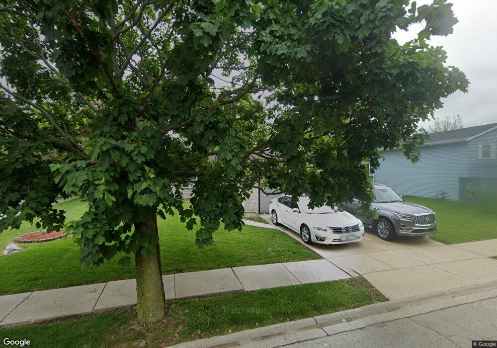
1020 Christine Ct Unit 2 Joliet, IL 60431
Southwest Joliet NeighborhoodEstimated Value: $304,728 - $326,000
3
Beds
2
Baths
1,830
Sq Ft
$175/Sq Ft
Est. Value
About This Home
This home is located at 1020 Christine Ct Unit 2, Joliet, IL 60431 and is currently estimated at $319,682, approximately $174 per square foot. 1020 Christine Ct Unit 2 is a home located in Will County with nearby schools including Heritage Trail Elementary School, Troy Middle School, and Orenic Intermediate School.
Ownership History
Date
Name
Owned For
Owner Type
Purchase Details
Closed on
Aug 31, 2022
Sold by
Johnson Michael J
Bought by
Johnson Michael J and Johnson Judith
Current Estimated Value
Purchase Details
Closed on
Mar 5, 2004
Sold by
Dakar Adam
Bought by
Heath Dwayne and Heath Joann
Home Financials for this Owner
Home Financials are based on the most recent Mortgage that was taken out on this home.
Original Mortgage
$164,800
Interest Rate
5.46%
Mortgage Type
Purchase Money Mortgage
Purchase Details
Closed on
Nov 25, 2002
Sold by
Mullin Mary and Mullin Joseph
Bought by
Dakar Adam
Home Financials for this Owner
Home Financials are based on the most recent Mortgage that was taken out on this home.
Original Mortgage
$143,470
Interest Rate
6.25%
Mortgage Type
FHA
Purchase Details
Closed on
May 16, 1997
Sold by
Anderson Jack A and Anderson Stephanie L
Bought by
Marlin Mary
Home Financials for this Owner
Home Financials are based on the most recent Mortgage that was taken out on this home.
Original Mortgage
$99,100
Interest Rate
8.24%
Create a Home Valuation Report for This Property
The Home Valuation Report is an in-depth analysis detailing your home's value as well as a comparison with similar homes in the area
Home Values in the Area
Average Home Value in this Area
Purchase History
| Date | Buyer | Sale Price | Title Company |
|---|---|---|---|
| Johnson Michael J | -- | Nationallink | |
| Heath Dwayne | $165,000 | Multiple | |
| Dakar Adam | $145,500 | Chicago Title Insurance Co | |
| Marlin Mary | $124,000 | Premier Title Company |
Source: Public Records
Mortgage History
| Date | Status | Borrower | Loan Amount |
|---|---|---|---|
| Previous Owner | Heath Dwayne | $164,800 | |
| Previous Owner | Dakar Adam | $143,470 | |
| Previous Owner | Marlin Mary | $99,100 |
Source: Public Records
Tax History Compared to Growth
Tax History
| Year | Tax Paid | Tax Assessment Tax Assessment Total Assessment is a certain percentage of the fair market value that is determined by local assessors to be the total taxable value of land and additions on the property. | Land | Improvement |
|---|---|---|---|---|
| 2024 | $7,365 | $91,882 | $13,296 | $78,586 |
| 2023 | $7,365 | $82,553 | $11,946 | $70,607 |
| 2022 | $6,301 | $73,891 | $11,304 | $62,587 |
| 2021 | $5,902 | $69,512 | $10,634 | $58,878 |
| 2020 | $5,171 | $61,581 | $10,634 | $50,947 |
| 2019 | $5,010 | $59,070 | $10,200 | $48,870 |
| 2018 | $4,980 | $57,200 | $10,200 | $47,000 |
| 2017 | $4,567 | $52,050 | $10,200 | $41,850 |
| 2016 | $4,438 | $49,150 | $10,200 | $38,950 |
| 2015 | $4,044 | $45,473 | $9,073 | $36,400 |
| 2014 | $4,044 | $44,273 | $9,073 | $35,200 |
| 2013 | $4,044 | $47,548 | $9,073 | $38,475 |
Source: Public Records
Map
Nearby Homes
- 985 Leawood Dr
- 3223 Karen Ct
- 3219 Quincy Ct
- 1125 Cathy Dr
- 709 Winterberry Dr
- 710 Silver Leaf Ct Unit 1
- 914 Greenleaf Dr
- 3108 Meadowsedge Ln
- 743 Springwood Dr
- 615 Silver Leaf Dr
- 3104 Meadowsedge Ln
- 644 Spring Leaf Dr
- 597 Spring Leaf Dr
- 594 Spring Leaf Dr
- 2812 Clearview Dr
- 20400 Rock Run Dr
- 197 Barbara Jean Ln Unit 4
- 180 Barbara Jean Ln Unit D
- 2632 Crescenzo Dr
- 181 Saenz Ln Unit A22
- 1026 Christine Ct Unit 2
- 3508 Christine Ave
- 3525 Christine Ave Unit 2
- 1019 Christine Ct
- 3431 Cathy Dr
- 3500 Christine Ave
- 1013 Christine Ct
- 1025 Christine Ct
- 3519 Christine Ave
- 1007 Christine Ct
- 3513 Christine Ave
- 3425 Cathy Dr
- 1031 Christine Ct
- 3430 Christine Ave
- 3507 Christine Ave Unit 2
- 1020 Loren Dr
- 3501 Christine Ave
- 1014 Loren Dr
- 1026 Loren Dr
- 1003 Christine Ct