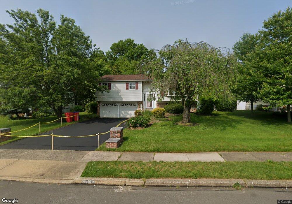
1020 Cornell Dr Warminster, PA 18974
Estimated Value: $488,000 - $572,000
4
Beds
2
Baths
1,915
Sq Ft
$277/Sq Ft
Est. Value
About This Home
This home is located at 1020 Cornell Dr, Warminster, PA 18974 and is currently estimated at $529,843, approximately $276 per square foot. 1020 Cornell Dr is a home located in Bucks County with nearby schools including Willow Dale Elementary School, Log College Middle School, and William Tennent High School.
Ownership History
Date
Name
Owned For
Owner Type
Purchase Details
Closed on
Dec 2, 2004
Sold by
Arbuckle Dorothy
Bought by
Yewdall Sandra
Current Estimated Value
Home Financials for this Owner
Home Financials are based on the most recent Mortgage that was taken out on this home.
Original Mortgage
$210,000
Outstanding Balance
$105,238
Interest Rate
5.74%
Mortgage Type
Fannie Mae Freddie Mac
Estimated Equity
$424,605
Purchase Details
Closed on
Nov 30, 1977
Bought by
Arbuckle Dorothy
Create a Home Valuation Report for This Property
The Home Valuation Report is an in-depth analysis detailing your home's value as well as a comparison with similar homes in the area
Home Values in the Area
Average Home Value in this Area
Purchase History
| Date | Buyer | Sale Price | Title Company |
|---|---|---|---|
| Yewdall Sandra | $300,000 | -- | |
| Arbuckle Dorothy | -- | -- |
Source: Public Records
Mortgage History
| Date | Status | Borrower | Loan Amount |
|---|---|---|---|
| Open | Yewdall Sandra | $210,000 |
Source: Public Records
Tax History
| Year | Tax Paid | Tax Assessment Tax Assessment Total Assessment is a certain percentage of the fair market value that is determined by local assessors to be the total taxable value of land and additions on the property. | Land | Improvement |
|---|---|---|---|---|
| 2025 | $5,631 | $26,680 | $4,320 | $22,360 |
| 2024 | $5,631 | $26,680 | $4,320 | $22,360 |
| 2023 | $5,458 | $26,680 | $4,320 | $22,360 |
| 2022 | $5,341 | $26,680 | $4,320 | $22,360 |
| 2021 | $5,217 | $26,680 | $4,320 | $22,360 |
| 2020 | $5,143 | $26,680 | $4,320 | $22,360 |
| 2019 | $4,870 | $26,680 | $4,320 | $22,360 |
| 2018 | $4,754 | $26,680 | $4,320 | $22,360 |
| 2017 | $4,615 | $26,680 | $4,320 | $22,360 |
| 2016 | -- | $26,680 | $4,320 | $22,360 |
| 2015 | $4,519 | $26,680 | $4,320 | $22,360 |
| 2014 | $4,519 | $26,680 | $4,320 | $22,360 |
Source: Public Records
Map
Nearby Homes
- 980 Marshall Dr
- 916 Log College Dr
- 1493 Maguire Ln
- 1067 Log College Dr
- 1036 Oakwood Dr
- 0 W Bristol Rd
- Lot 19 Kennedy Way
- 1575 W Street Rd Unit 626
- 1575 W Street Rd Unit 327
- 1026 Surrey Ln
- 1402 Valley View
- 1806 Gait Cir
- 1465 Breton Hill Dr
- 1167 W Bristol Rd
- 1477 Stony Rd Unit RUTLEDGE
- 1477 Stony Rd
- 942 Stein Ct
- 1501 Stony Rd
- 1525 Stony Rd Unit RAINTREE
- 1917 Palomino Dr
- 1012 Cornell Dr
- 1028 Cornell Dr
- 969 Worthington Dr
- 1004 Cornell Dr
- 1036 Cornell Dr
- 973 Worthington Dr
- 965 Worthington Dr
- 1019 Cornell Dr
- 1027 Cornell Dr
- 977 Worthington Dr
- 996 Cornell Dr
- 1011 Cornell Dr
- 1044 Cornell Dr
- 961 Worthington Dr
- 1035 Cornell Dr
- 981 Worthington Dr
- 995 Cornell Dr
- 988 Cornell Dr
- 1043 Cornell Dr
- 1052 Cornell Dr
Your Personal Tour Guide
Ask me questions while you tour the home.