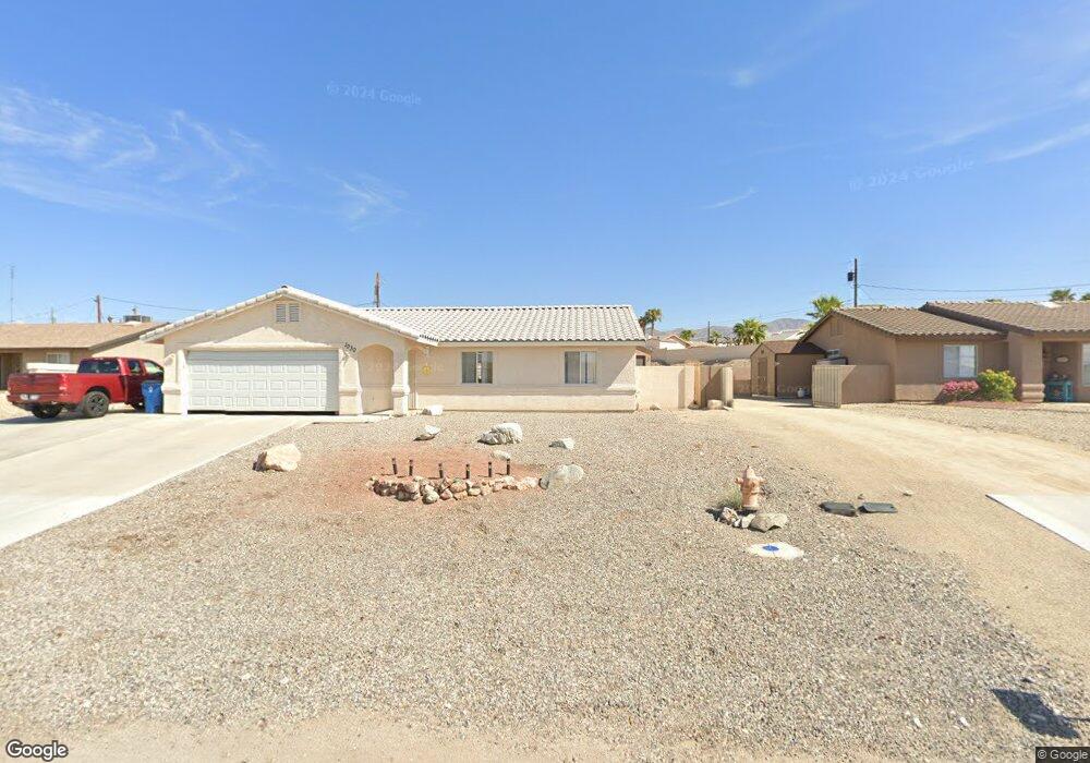
1020 Date Dr Lake Havasu City, AZ 86404
Estimated Value: $472,000 - $505,000
--
Bed
--
Bath
1,204
Sq Ft
$404/Sq Ft
Est. Value
About This Home
This home is located at 1020 Date Dr, Lake Havasu City, AZ 86404 and is currently estimated at $486,019, approximately $403 per square foot. 1020 Date Dr is a home with nearby schools including Havasupai Elementary School, Thunderbolt Middle School, and Lake Havasu High School.
Ownership History
Date
Name
Owned For
Owner Type
Purchase Details
Closed on
Jul 20, 2017
Sold by
Schulenberg Jaime and Schulenberg Richard
Bought by
Schulenberg Taylor
Current Estimated Value
Create a Home Valuation Report for This Property
The Home Valuation Report is an in-depth analysis detailing your home's value as well as a comparison with similar homes in the area
Home Values in the Area
Average Home Value in this Area
Purchase History
| Date | Buyer | Sale Price | Title Company |
|---|---|---|---|
| Schulenberg Taylor | $40,000 | None Available |
Source: Public Records
Tax History Compared to Growth
Tax History
| Year | Tax Paid | Tax Assessment Tax Assessment Total Assessment is a certain percentage of the fair market value that is determined by local assessors to be the total taxable value of land and additions on the property. | Land | Improvement |
|---|---|---|---|---|
| 2026 | $1,008 | -- | -- | -- |
| 2025 | $2,043 | $41,230 | $0 | $0 |
| 2024 | $2,043 | $42,955 | $0 | $0 |
| 2023 | $2,043 | $37,515 | $0 | $0 |
| 2022 | $1,955 | $29,132 | $0 | $0 |
| 2021 | $2,133 | $14,492 | $0 | $0 |
| 2019 | $805 | $10,969 | $0 | $0 |
| 2018 | $780 | $11,959 | $0 | $0 |
| 2017 | $773 | $12,062 | $0 | $0 |
| 2016 | $708 | $8,251 | $0 | $0 |
| 2015 | $718 | $7,225 | $0 | $0 |
Source: Public Records
Map
Nearby Homes
- 3232 Sheik Dr
- 3220 Douglas Dr
- 3225 Sheik Dr
- 980 Coconut Grove Dr
- 965 Coconut Grove Dr
- 3240 Crater Dr
- 3200 Crater Dr
- 3341 Dune Dr
- 3072 Caravan Dr
- 1210 Crater Ct
- 870 Desert View Dr
- 961 Joshua Tree Dr
- 3260 Fan Palm Dr
- 3041 Douglas Dr
- 956 Joshua Tree Dr
- 3154 Palo Verde Blvd N
- 1231 Palo Verde
- 3391 Oasis Dr
- 2931 Simitan Dr
- 3346 Fountain Palm Dr