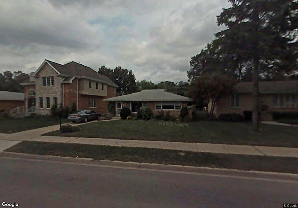
1020 Devon Ave Park Ridge, IL 60068
Estimated Value: $442,456 - $686,000
3
Beds
2
Baths
1,166
Sq Ft
$484/Sq Ft
Est. Value
About This Home
This home is located at 1020 Devon Ave, Park Ridge, IL 60068 and is currently estimated at $564,114, approximately $483 per square foot. 1020 Devon Ave is a home located in Cook County with nearby schools including Theodore Roosevelt Elementary School, Lincoln Middle School, and Maine South High School.
Ownership History
Date
Name
Owned For
Owner Type
Purchase Details
Closed on
Aug 13, 2024
Sold by
Stevens Malcolm G T and Stevens Nancy A
Bought by
Stevens Family Living Trust and Stevens
Current Estimated Value
Purchase Details
Closed on
Nov 11, 1996
Sold by
Barrett William E and Barrett Eileen M
Bought by
Stevens Malcolm G T and Stevens Nancy A
Home Financials for this Owner
Home Financials are based on the most recent Mortgage that was taken out on this home.
Original Mortgage
$164,000
Interest Rate
8.18%
Create a Home Valuation Report for This Property
The Home Valuation Report is an in-depth analysis detailing your home's value as well as a comparison with similar homes in the area
Home Values in the Area
Average Home Value in this Area
Purchase History
| Date | Buyer | Sale Price | Title Company |
|---|---|---|---|
| Stevens Family Living Trust | -- | None Listed On Document | |
| Stevens Malcolm G T | $171,000 | -- |
Source: Public Records
Mortgage History
| Date | Status | Borrower | Loan Amount |
|---|---|---|---|
| Previous Owner | Stevens Malcolm G T | $164,000 |
Source: Public Records
Tax History
| Year | Tax Paid | Tax Assessment Tax Assessment Total Assessment is a certain percentage of the fair market value that is determined by local assessors to be the total taxable value of land and additions on the property. | Land | Improvement |
|---|---|---|---|---|
| 2025 | $4,005 | $19,830 | $6,600 | $13,230 |
| 2024 | $4,005 | $16,251 | $5,610 | $10,641 |
| 2023 | $3,826 | $16,251 | $5,610 | $10,641 |
| 2022 | $3,826 | $16,251 | $5,610 | $10,641 |
| 2021 | $3,228 | $12,111 | $3,465 | $8,646 |
| 2020 | $3,130 | $12,111 | $3,465 | $8,646 |
| 2019 | $3,058 | $13,275 | $3,465 | $9,810 |
| 2018 | $3,720 | $14,545 | $2,970 | $11,575 |
| 2017 | $3,712 | $14,545 | $2,970 | $11,575 |
| 2016 | $3,683 | $14,545 | $2,970 | $11,575 |
| 2015 | $3,899 | $13,823 | $2,475 | $11,348 |
| 2014 | $3,830 | $13,823 | $2,475 | $11,348 |
| 2013 | $3,620 | $13,823 | $2,475 | $11,348 |
Source: Public Records
Map
Nearby Homes
- 820 W Talcott Rd
- 1201 S Knight Ave
- 425 W Talcott Rd
- 1233 S Prospect Ave
- 1220 Courtland Ave
- 1015 Frances Pkwy
- 1604 S Greenwood Ave
- 905 S Seminary Ave
- 1100 Lois Ave
- 428 S Clifton Ave
- 1433 Lois Ave
- 1406 Peterson Ave
- 400 S Cumberland Ave
- 1820 S Prospect Ave
- 1904 S Fairview Ave
- 929 Prairie Ave
- 518 S Vine Ave
- 400 S Crescent Ave
- 1929 S Ashland Ave
- 311 S Vine Ave Unit E
- 1020 Devon Ave
- 1012 Devon Ave
- 1012 Devon Ave
- 1012 Devon Ave
- 1022 Devon Ave
- 1022 Devon Ave
- 1006 Devon Ave
- 1006 Devon Ave
- 1006 Devon Ave
- 1026 Devon Ave
- 1026 Devon Ave
- 1011 Saint James Place
- 1015 Saint James Place
- 1009 Saint James Place
- 1021 Saint James Place
- 1000 Devon Ave
- 1030 Devon Ave
- 1030 Devon Ave
- 1003 Saint James Place
- 926 Devon Ave
Your Personal Tour Guide
Ask me questions while you tour the home.