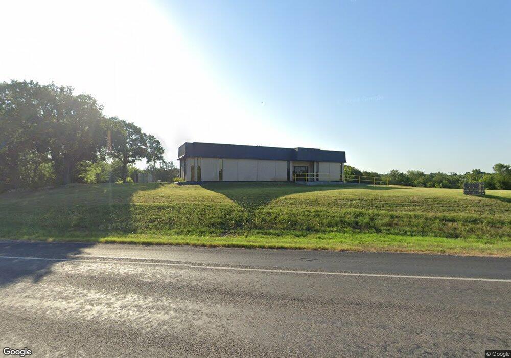
1020 E Us Highway 69 Denison, TX 75021
Studio
--
Bath
3,656
Sq Ft
118,919
Sq Ft Lot
About This Home
This home is located at 1020 E Us Highway 69, Denison, TX 75021. 1020 E Us Highway 69 is a home located in Grayson County with nearby schools including Terrell Elementary School, Scott Middle School, and Denison High School.
Ownership History
Date
Name
Owned For
Owner Type
Purchase Details
Closed on
Jul 14, 2025
Sold by
Bakotic Bradley
Bought by
Dbj Texas Investments Llc
Purchase Details
Closed on
Mar 30, 2023
Sold by
Rios Silvia E and Rios Christian
Bought by
Bakotic Bradley
Purchase Details
Closed on
Aug 21, 2021
Sold by
Byers Cody
Bought by
Rios Silvia E and Rios Christian
Home Financials for this Owner
Home Financials are based on the most recent Mortgage that was taken out on this home.
Original Mortgage
$205,000
Interest Rate
2.7%
Mortgage Type
Purchase Money Mortgage
Create a Home Valuation Report for This Property
The Home Valuation Report is an in-depth analysis detailing your home's value as well as a comparison with similar homes in the area
Home Values in the Area
Average Home Value in this Area
Purchase History
| Date | Buyer | Sale Price | Title Company |
|---|---|---|---|
| Dbj Texas Investments Llc | -- | None Listed On Document | |
| Bakotic Bradley | -- | Chapin Title Company | |
| Rios Silvia E | -- | Red River Title Co |
Source: Public Records
Mortgage History
| Date | Status | Borrower | Loan Amount |
|---|---|---|---|
| Previous Owner | Rios Silvia E | $205,000 |
Source: Public Records
Tax History
| Year | Tax Paid | Tax Assessment Tax Assessment Total Assessment is a certain percentage of the fair market value that is determined by local assessors to be the total taxable value of land and additions on the property. | Land | Improvement |
|---|---|---|---|---|
| 2025 | $10,106 | $514,471 | $398,207 | $116,264 |
| 2024 | $10,106 | $435,000 | $389,862 | $45,138 |
| 2023 | $12,136 | $535,663 | $215,795 | $319,868 |
| 2022 | $6,991 | $294,241 | $215,795 | $78,446 |
| 2021 | $4,768 | $189,048 | $113,196 | $75,852 |
| 2020 | $1,351 | $162,078 | $34,064 | $128,014 |
| 2019 | $4,460 | $162,078 | $34,064 | $128,014 |
| 2018 | $290 | $162,078 | $25,648 | $136,430 |
| 2017 | $290 | $162,078 | $18,435 | $143,643 |
| 2016 | $2,725 | $97,396 | $17,233 | $80,163 |
| 2015 | $0 | $106,238 | $17,233 | $89,005 |
| 2014 | -- | $115,062 | $17,233 | $97,829 |
Source: Public Records
Map
Nearby Homes
- 910 N Houston Ave
- 25 W Parnell St
- 30 W Parnell St
- 129 E Johnson St
- 80 Vaughn Dr
- 201 E Walker St
- 43 Vaughn Dr
- 43 W Parnell St
- 430 E Parnell St
- 515 E Parnell St
- 315 W Walker St
- 205 W Bond St
- 409 W Johnson St
- 522 N Austin Ave
- 14 Geraldine Ln
- 425 W Johnson St
- 600 E Washington St
- 121 W Morton St
- 716 N Rusk Ave
- 114 W Morton St
- 1020 Us Highway 69
- 1 W Parnell St
- 2 Vaughn Dr
- 2 Vaughn Dr
- 1 Tbd Vaughn Dr
- 6 Vaughn Dr
- 7 W Parnell St
- 1000 N Lamar Ave
- 10 W Parnell St
- 10 Vaughn Dr
- 1020 N Eisenhower Pkwy
- 11 W Parnell St
- 000 Martin Luther King St
- 12 W Parnell St
- 12 Vaughn Dr
- 217 E Washington St
- 14 W Parnell St
- 14 Vaughn Dr
- 1001 N Eisenhower Pkwy
- 1001 N Eisenhower Pkwy Unit 2
Your Personal Tour Guide
Ask me questions while you tour the home.