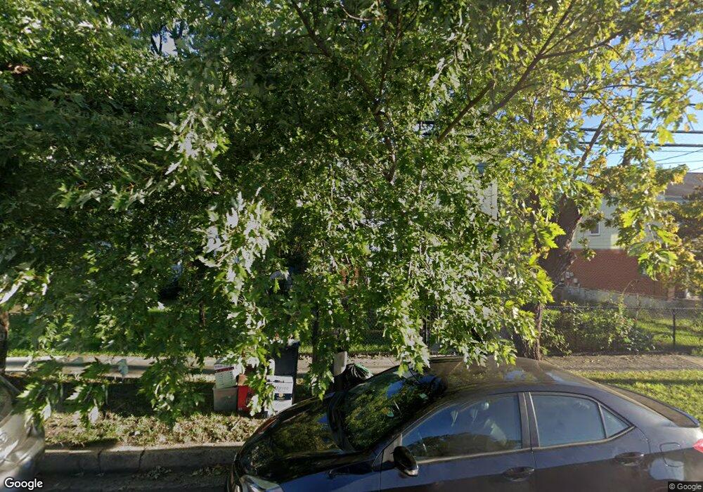
1020 E West Hwy Takoma Park, MD 20912
Estimated Value: $468,136 - $569,000
--
Bed
1
Bath
1,332
Sq Ft
$374/Sq Ft
Est. Value
About This Home
This home is located at 1020 E West Hwy, Takoma Park, MD 20912 and is currently estimated at $498,784, approximately $374 per square foot. 1020 E West Hwy is a home with nearby schools including Carole Highlands Elementary School, Nicholas Orem Middle School, and High Point High School.
Ownership History
Date
Name
Owned For
Owner Type
Purchase Details
Closed on
Jul 25, 2016
Sold by
Sariri Llc
Bought by
Rodriguez Abisai G Ayala and Rivera Dina
Current Estimated Value
Home Financials for this Owner
Home Financials are based on the most recent Mortgage that was taken out on this home.
Original Mortgage
$310,400
Outstanding Balance
$247,633
Interest Rate
3.56%
Mortgage Type
New Conventional
Estimated Equity
$251,151
Purchase Details
Closed on
Dec 11, 2015
Sold by
Deutsche Bank National Trust Company
Bought by
Sariri Llc
Purchase Details
Closed on
Mar 6, 2014
Sold by
Lone Lawrence C and Lone Randee
Bought by
Deutsche Bank Trust Company Americas
Purchase Details
Closed on
Nov 17, 1986
Sold by
Johns Elsie M
Bought by
Lone Lawrence C & Randee E
Create a Home Valuation Report for This Property
The Home Valuation Report is an in-depth analysis detailing your home's value as well as a comparison with similar homes in the area
Home Values in the Area
Average Home Value in this Area
Purchase History
| Date | Buyer | Sale Price | Title Company |
|---|---|---|---|
| Rodriguez Abisai G Ayala | $320,000 | Fidelity Natl Title Ins Co | |
| Sariri Llc | $207,209 | Attorney | |
| Deutsche Bank Trust Company Americas | $152,000 | None Available | |
| Lone Lawrence C & Randee E | $74,000 | -- |
Source: Public Records
Mortgage History
| Date | Status | Borrower | Loan Amount |
|---|---|---|---|
| Open | Rodriguez Abisai G Ayala | $310,400 |
Source: Public Records
Tax History Compared to Growth
Tax History
| Year | Tax Paid | Tax Assessment Tax Assessment Total Assessment is a certain percentage of the fair market value that is determined by local assessors to be the total taxable value of land and additions on the property. | Land | Improvement |
|---|---|---|---|---|
| 2024 | $6,457 | $407,700 | $100,300 | $307,400 |
| 2023 | $6,048 | $380,233 | $0 | $0 |
| 2022 | $5,640 | $352,767 | $0 | $0 |
| 2021 | $5,232 | $325,300 | $100,100 | $225,200 |
| 2020 | $4,770 | $294,233 | $0 | $0 |
| 2019 | $4,308 | $263,167 | $0 | $0 |
| 2018 | $3,847 | $232,100 | $75,100 | $157,000 |
| 2017 | $3,492 | $208,233 | $0 | $0 |
| 2016 | -- | $184,367 | $0 | $0 |
| 2015 | $3,167 | $160,500 | $0 | $0 |
| 2014 | $3,167 | $160,500 | $0 | $0 |
Source: Public Records
Map
Nearby Homes
- 1011 Hopewell Ave
- 6806 10th Ave
- 1505 Drexel St
- 702 Auburn Ave
- 1611 Dayton Rd
- 925 Sligo Creek Pkwy
- 903 Heather Ave
- 1204 Raydale Rd
- 911 Sligo Creek Pkwy
- 906 Luray Place
- 811 Sligo Creek Pkwy
- 821 Ray Rd
- 7333 New Hampshire Ave
- 7333 New Hampshire Ave
- 7333 New Hampshire Ave Unit 709
- 7333 New Hampshire Ave Unit 112
- 7333 New Hampshire Ave
- 7333 New Hampshire Ave
- 7333 New Hampshire Ave Unit 311
- 7333 New Hampshire Ave
- 1020 E West Hwy
- 1018 E West Hwy
- 1022 E West Hwy
- 6903 Olson Rd
- 1024 E West Hwy
- 1024 E West Hwy
- 6907 Olson Rd
- 6909 Olson Rd
- 1026 E West Hwy
- 1016 E West Hwy
- 1011 East-West Hwy
- 1011 E West Hwy
- 1013 E West Hwy
- 1105 Larch Ave
- 1009 E West Hwy
- 1007 E West Hwy
- 1133 Linden Ave
- 1131 Linden Ave
- 1015 E West Hwy
- 1005 E West Hwy
