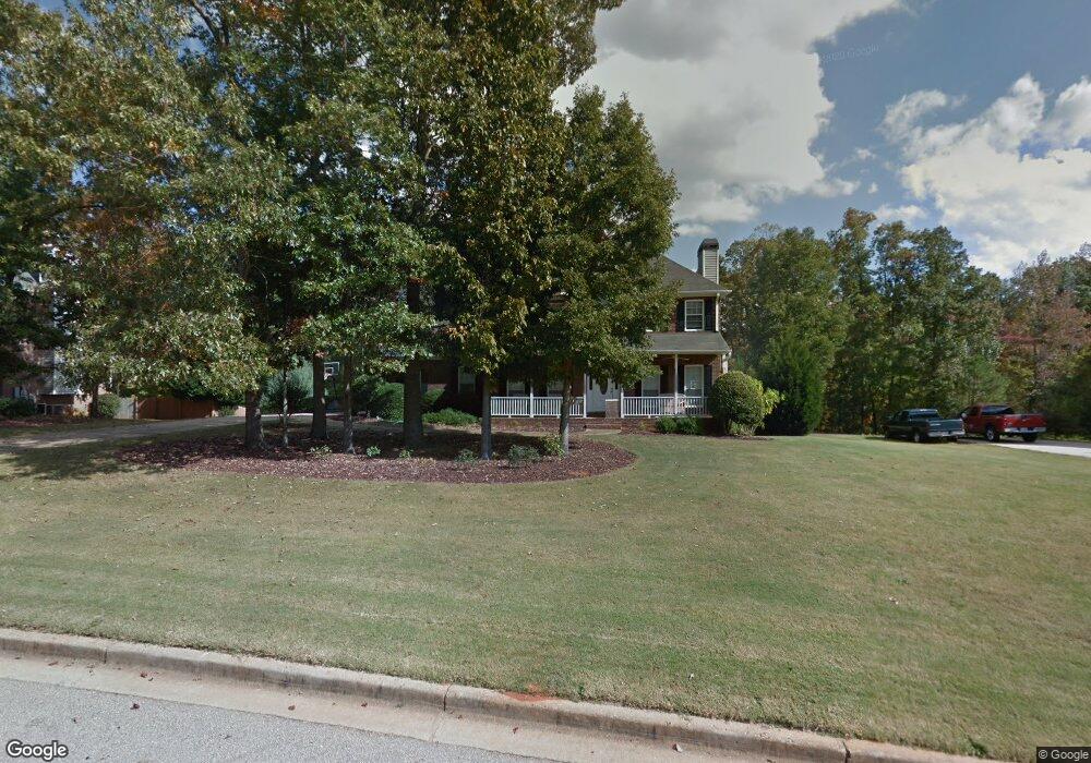
1020 Eddie Craig Dr Unit 1 McDonough, GA 30252
Estimated Value: $389,000 - $415,000
3
Beds
3
Baths
2,320
Sq Ft
$173/Sq Ft
Est. Value
About This Home
This home is located at 1020 Eddie Craig Dr Unit 1, McDonough, GA 30252 and is currently estimated at $400,796, approximately $172 per square foot. 1020 Eddie Craig Dr Unit 1 is a home located in Henry County with nearby schools including Ola Elementary School, Ola Middle School, and Ola High School.
Ownership History
Date
Name
Owned For
Owner Type
Purchase Details
Closed on
Jan 24, 2014
Sold by
K & M Homes Inc
Bought by
Phillips Mark A and Phillips Angela B
Current Estimated Value
Purchase Details
Closed on
May 26, 2011
Sold by
Mobley Michael D
Bought by
Mobley Michael D and Mobley Patti S
Home Financials for this Owner
Home Financials are based on the most recent Mortgage that was taken out on this home.
Original Mortgage
$140,335
Interest Rate
4.79%
Mortgage Type
New Conventional
Purchase Details
Closed on
Sep 29, 1998
Sold by
David Martin Hms Inc
Bought by
Mobley Michael D and Mobley Patti S
Home Financials for this Owner
Home Financials are based on the most recent Mortgage that was taken out on this home.
Original Mortgage
$131,150
Interest Rate
6.96%
Mortgage Type
New Conventional
Create a Home Valuation Report for This Property
The Home Valuation Report is an in-depth analysis detailing your home's value as well as a comparison with similar homes in the area
Home Values in the Area
Average Home Value in this Area
Purchase History
| Date | Buyer | Sale Price | Title Company |
|---|---|---|---|
| Phillips Mark A | $283,535 | -- | |
| Mobley Michael D | -- | -- | |
| Mobley Michael D | $169,700 | -- |
Source: Public Records
Mortgage History
| Date | Status | Borrower | Loan Amount |
|---|---|---|---|
| Previous Owner | Mobley Michael D | $140,335 | |
| Previous Owner | Mobley Michael D | $131,150 |
Source: Public Records
Tax History Compared to Growth
Tax History
| Year | Tax Paid | Tax Assessment Tax Assessment Total Assessment is a certain percentage of the fair market value that is determined by local assessors to be the total taxable value of land and additions on the property. | Land | Improvement |
|---|---|---|---|---|
| 2025 | $2,942 | $155,920 | $24,000 | $131,920 |
| 2024 | $2,942 | $157,120 | $24,000 | $133,120 |
| 2023 | $3,700 | $150,680 | $18,000 | $132,680 |
| 2022 | $3,867 | $136,360 | $18,000 | $118,360 |
| 2021 | $3,226 | $109,240 | $18,000 | $91,240 |
| 2020 | $3,350 | $97,880 | $16,000 | $81,880 |
| 2019 | $3,251 | $93,680 | $15,000 | $78,680 |
| 2018 | $3,176 | $90,520 | $12,000 | $78,520 |
| 2016 | $2,945 | $81,000 | $10,000 | $71,000 |
| 2015 | $2,870 | $77,120 | $8,000 | $69,120 |
| 2014 | $2,732 | $72,920 | $8,000 | $64,920 |
Source: Public Records
Map
Nearby Homes
- 3019 Beverly Ct
- 590 Eskew Rd
- 7015 Sherri Ct
- 564 Eskew Rd
- 75 Antioch Rd
- 135 Pine Tree Ln
- 2563 Highway 81 E
- 405 Cynthia Ln
- 262 Tapestry Dr
- 200 Pine Tree Ln
- 150 Wilson Dr
- 770 Upchurch Rd
- 469 Kimberly Ct
- 105 Berry Ct
- 721 Milton Dr
- 504 Liverpool Dr
- 660 Milton Dr
- 136 Hilda Way
- 156 Tapestry Dr
- 153 Hilda Way
- 1022 Eddie Craig Dr
- 1018 Eddie Craig Dr Unit 1
- 1021 Eddie Craig Dr
- 1021 Eddie Craig Dr Unit 1
- 2001 Rocky Brook Ct Unit I
- 1017 Eddie Craig Dr
- 2003 Rocky Brook Ct Unit 1
- 1023 Eddie Craig Dr
- 1026 Eddie Craig Dr Unit 18
- 1026 Eddie Craig Dr
- 1025 Eddie Craig Dr Unit 2
- 1015 Eddie Craig Dr
- 5006 Samantha Ct
- 2000 Rocky Brook Ct
- 2005 Rocky Brook Ct
- 5005 Samantha Ct
- 1013 Eddie Craig Dr Unit 1
- 1301 Eddie Craig Ct
- 1028 Eddie Craig Dr Unit 2
- 5004 Samantha Ct