1020 Emory Stephens Rd Murrayville, GA 30564
Murrayville NeighborhoodEstimated Value: $820,000 - $2,838,292
4
Beds
5
Baths
2,632
Sq Ft
$695/Sq Ft
Est. Value
About This Home
This home is located at 1020 Emory Stephens Rd, Murrayville, GA 30564 and is currently estimated at $1,829,146, approximately $694 per square foot. 1020 Emory Stephens Rd is a home located in Lumpkin County with nearby schools including Clay County Middle School and Lumpkin County High School.
Ownership History
Date
Name
Owned For
Owner Type
Purchase Details
Closed on
Jun 27, 2003
Sold by
Stephens Emory
Bought by
E & C Stephens Family Limited Partnershi
Current Estimated Value
Purchase Details
Closed on
Dec 9, 1988
Sold by
Stephens Emory
Bought by
Stephens Emory
Purchase Details
Closed on
Sep 9, 1988
Sold by
Stephens Emory
Bought by
Stephens Emory
Purchase Details
Closed on
Apr 27, 1970
Bought by
Stephens Emory
Create a Home Valuation Report for This Property
The Home Valuation Report is an in-depth analysis detailing your home's value as well as a comparison with similar homes in the area
Home Values in the Area
Average Home Value in this Area
Purchase History
| Date | Buyer | Sale Price | Title Company |
|---|---|---|---|
| E & C Stephens Family Limited Partnershi | -- | -- | |
| E & C Stephens Family Limited Partnershi | -- | -- | |
| E & C Stephens Family Limited Partnershi | -- | -- | |
| Stephens Emory | -- | -- | |
| Stephens Emory | -- | -- | |
| Stephens Emory | -- | -- |
Source: Public Records
Tax History Compared to Growth
Tax History
| Year | Tax Paid | Tax Assessment Tax Assessment Total Assessment is a certain percentage of the fair market value that is determined by local assessors to be the total taxable value of land and additions on the property. | Land | Improvement |
|---|---|---|---|---|
| 2024 | $8,104 | $888,276 | $486,712 | $401,564 |
| 2023 | $8,545 | $796,096 | $419,580 | $376,516 |
| 2022 | $6,503 | $692,215 | $381,436 | $310,779 |
| 2021 | $5,437 | $644,124 | $381,436 | $262,688 |
| 2020 | $5,377 | $637,207 | $381,436 | $255,771 |
| 2019 | $5,405 | $637,207 | $381,436 | $255,771 |
| 2018 | $4,932 | $608,491 | $381,436 | $227,055 |
| 2017 | $4,764 | $599,880 | $381,436 | $218,444 |
| 2016 | $4,136 | $573,512 | $381,436 | $192,076 |
| 2015 | $3,567 | $573,512 | $381,436 | $192,076 |
| 2014 | $3,567 | $576,832 | $381,436 | $195,396 |
| 2013 | -- | $579,691 | $381,436 | $198,254 |
Source: Public Records
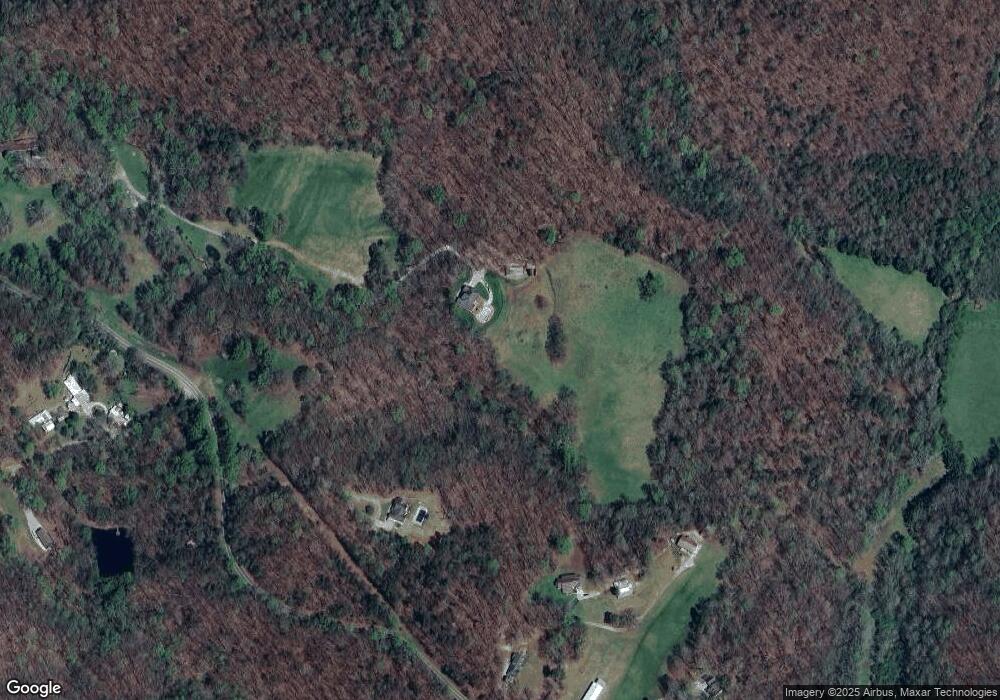
Map
Nearby Homes
- 3.65 Ac Emory Stephens Rd
- 3.65AC Emory Stephens Rd
- 6.2 Mincey Acres Dr
- 23.86 Acres Mincie Mountain
- 20.65 Acres Mincie Mountain
- 42.65 Acres Mincie Mountain
- 0 Roseberry Ln
- 86.99 Acres Mincie Mountain
- 600 Chapman Ridge Ln
- 500 Chapman Ridge Ln
- 27.68 Chapman Ridge Ln
- 100 Rocky Branch Dr
- 12 Katydid Ln
- 966 Wahoo Creek Rd
- 6480 Highway 52 W
- 132 Wauka Mountain Rd
- 380 Copper Mill Rd
- 1500 Emory Stephens Rd
- 1085 Emory Stephens Rd
- 691 Emory Stephens Rd
- 790 Emory Stephens Rd
- 1323 Emory Stephens Rd
- 1337 Emory Stephens Rd
- 768 Emory Stephens Rd
- 690 Emory Stephens Rd
- 516 Emory Stephens Rd
- 1335 Emory Stephens Rd
- 1403 Emory Stephens Rd
- 1371 Emory Stephens Rd
- 1434 Emory Stephens Rd
- 44 Lathen Dr
- 225 Mincie Mountain Rd
- 611 Emory Stephens Rd
- 1490 Emory Stephens Rd
- 430 Emory Stephens Rd
- 290 Mincie Mountain Rd
- 352 Mincie Mountain Rd