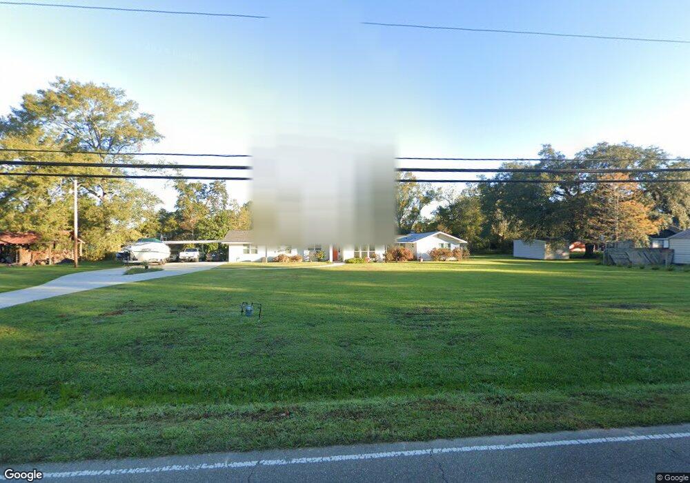
1020 Esterbrook Rd Ponchatoula, LA 70454
Estimated Value: $201,000 - $309,000
3
Beds
2
Baths
2,327
Sq Ft
$108/Sq Ft
Est. Value
About This Home
This home is located at 1020 Esterbrook Rd, Ponchatoula, LA 70454 and is currently estimated at $250,762, approximately $107 per square foot. 1020 Esterbrook Rd is a home located in Tangipahoa Parish with nearby schools including Tucker Memorial Elementary School, D.C. Reeves Elementary School, and Ponchatoula Junior High School.
Ownership History
Date
Name
Owned For
Owner Type
Purchase Details
Closed on
Mar 31, 2006
Sold by
Ferguson John Charles and Ferguson Charla Marie Dufrene
Bought by
Howes Brian K and Howes Tracie L
Current Estimated Value
Home Financials for this Owner
Home Financials are based on the most recent Mortgage that was taken out on this home.
Original Mortgage
$117,000
Outstanding Balance
$66,769
Interest Rate
6.24%
Mortgage Type
Future Advance Clause Open End Mortgage
Estimated Equity
$183,993
Create a Home Valuation Report for This Property
The Home Valuation Report is an in-depth analysis detailing your home's value as well as a comparison with similar homes in the area
Home Values in the Area
Average Home Value in this Area
Purchase History
| Date | Buyer | Sale Price | Title Company |
|---|---|---|---|
| Howes Brian K | $13,000 | None Available |
Source: Public Records
Mortgage History
| Date | Status | Borrower | Loan Amount |
|---|---|---|---|
| Open | Howes Brian K | $117,000 |
Source: Public Records
Tax History Compared to Growth
Tax History
| Year | Tax Paid | Tax Assessment Tax Assessment Total Assessment is a certain percentage of the fair market value that is determined by local assessors to be the total taxable value of land and additions on the property. | Land | Improvement |
|---|---|---|---|---|
| 2024 | $796 | $11,672 | $3,240 | $8,432 |
| 2023 | $795 | $11,431 | $3,000 | $8,431 |
| 2022 | $795 | $11,431 | $3,000 | $8,431 |
| 2021 | $468 | $11,431 | $3,000 | $8,431 |
| 2020 | $983 | $11,431 | $3,000 | $8,431 |
| 2019 | $981 | $11,431 | $3,000 | $8,431 |
| 2018 | $984 | $11,431 | $3,000 | $8,431 |
| 2017 | $984 | $11,431 | $3,000 | $8,431 |
| 2016 | $984 | $11,431 | $3,000 | $8,431 |
| 2015 | $309 | $11,927 | $3,000 | $8,927 |
| 2014 | $282 | $11,927 | $3,000 | $8,927 |
Source: Public Records
Map
Nearby Homes
- 313 Silverstone Cir
- 18226 Esterbrook Rd
- 530 E Cypress St
- 515 1/2 S 2nd St
- 551 Daybreak Dr
- 350 E Pecan St
- 18270 Highway 22 Unit LOT 17
- 135 Shirleen Dr
- 508 Saint Louis Ct
- 125 McGary Ln
- 208 E Pecan St
- 669 Lake Iberville Ct
- 180 N 2nd St
- 451 Lake Orleans Blvd
- 443 Lake Orleans Blvd
- 18369 Louisiana 22
- 18369 Hwy 22 None
- 200 N 2nd St
- 816 Decatur St
- 320 Silverstone Cir
- 324 Silverstone Cir
- 316 Silverstone Cir
- 1018 Esterbrook Rd
- 328 Silverstone Cir
- 333 Silverstone Cir
- 333 Silverstone Cir
- 312 Silverstone Cir
- 39469 Allen Street Extension
- 1080 Esterbrook Rd
- 1014 Esterbrook Rd
- 39479 Allen Street Extension
- 309 Silverstone Cir
- 336 Silverstone Cir
- 337 Silverstone Cir
- 308 Silverstone Cir
- 154 Colver Dr
- 39589 Allen Street Extension
- 1017 Esterbrook Rd
- 158 Colver Dr