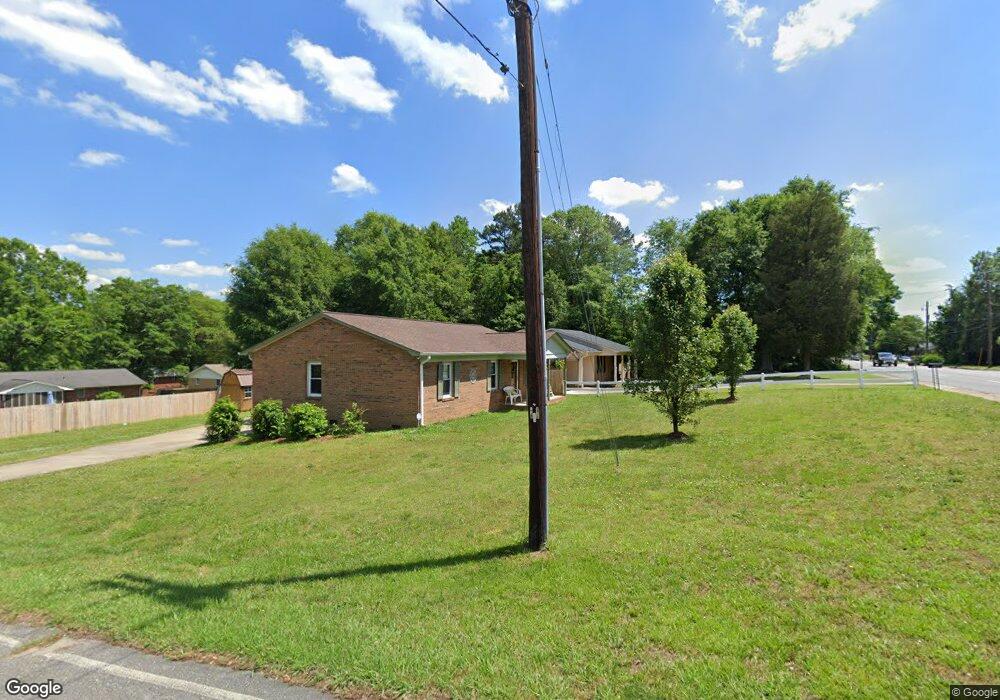
1020 Fallston Rd Shelby, NC 28150
Estimated Value: $185,000 - $254,000
3
Beds
2
Baths
1,260
Sq Ft
$170/Sq Ft
Est. Value
About This Home
This home is located at 1020 Fallston Rd, Shelby, NC 28150 and is currently estimated at $214,219, approximately $170 per square foot. 1020 Fallston Rd is a home located in Cleveland County with nearby schools including Washington Elementary School, Burns Middle, and Burns High School.
Ownership History
Date
Name
Owned For
Owner Type
Purchase Details
Closed on
Aug 24, 2025
Sold by
Rowland Calvin Joseph and Rowland Jeanne Ann
Bought by
Rowland Jeanne Ann
Current Estimated Value
Purchase Details
Closed on
Jun 28, 2019
Sold by
Miller Derrick L and Miller Linda C
Bought by
Hallquist Jeanne Ann and Rowland Calvin J
Home Financials for this Owner
Home Financials are based on the most recent Mortgage that was taken out on this home.
Original Mortgage
$116,353
Interest Rate
5.5%
Mortgage Type
FHA
Create a Home Valuation Report for This Property
The Home Valuation Report is an in-depth analysis detailing your home's value as well as a comparison with similar homes in the area
Home Values in the Area
Average Home Value in this Area
Purchase History
| Date | Buyer | Sale Price | Title Company |
|---|---|---|---|
| Rowland Jeanne Ann | -- | None Listed On Document | |
| Hallquist Jeanne Ann | $118,500 | None Available |
Source: Public Records
Mortgage History
| Date | Status | Borrower | Loan Amount |
|---|---|---|---|
| Previous Owner | Hallquist Jeanne Ann | $116,353 |
Source: Public Records
Tax History
| Year | Tax Paid | Tax Assessment Tax Assessment Total Assessment is a certain percentage of the fair market value that is determined by local assessors to be the total taxable value of land and additions on the property. | Land | Improvement |
|---|---|---|---|---|
| 2025 | $1,815 | $182,393 | $23,700 | $158,693 |
| 2024 | $1,470 | $119,948 | $23,700 | $96,248 |
| 2023 | $1,463 | $119,948 | $23,700 | $96,248 |
| 2022 | $1,463 | $119,948 | $23,700 | $96,248 |
| 2021 | $1,470 | $119,948 | $23,700 | $96,248 |
| 2020 | $1,236 | $97,729 | $19,750 | $77,979 |
| 2019 | $1,236 | $97,729 | $19,750 | $77,979 |
| 2018 | $1,235 | $97,729 | $19,750 | $77,979 |
| 2017 | $1,204 | $97,729 | $19,750 | $77,979 |
| 2016 | $1,208 | $97,729 | $19,750 | $77,979 |
| 2015 | $1,150 | $97,939 | $9,875 | $88,064 |
| 2014 | $1,150 | $97,939 | $9,875 | $88,064 |
Source: Public Records
Map
Nearby Homes
- 953 Hardin Dr
- 746 Vale St
- 739 Vale St
- 1204 Frederick St
- 1104 Frederick St
- 704 E Grover St
- 1009 Spann St
- 406 Floyd St
- 507 Crawford St
- 915 Airport Rd
- 8 Bolt Dr
- 502 Crawford St
- 194 T R Harris Dr
- 823 Frederick St
- 921 Logan St
- 217 Crystal Springs Ln
- 1010 Wesley St
- 510 Booker St
- 1040 Allison Dr
- 000 Metcalf Rd
- 1018 Fallston Rd
- 1016 Fallston Rd
- 0 Fallston Rd Unit CAR3864246
- 1023 Fallston Rd
- 1021 Fallston Rd
- 1026 Fallston Rd
- 1025 Hardin Dr
- 1025 Fallston Rd
- 1021 Hardin Dr
- 1027 Hardin Dr
- 1019 Fallston Rd
- 1029 Fallston Rd
- 1006 Fallston Rd
- 1028 Fallston Rd
- 1100 Stanton Dr
- 000 Hardin Dr
- 1104 Stanton Dr
- 1015 Fallston Rd
- 1019 Hardin Dr
- 1029 Hardin Dr
Your Personal Tour Guide
Ask me questions while you tour the home.