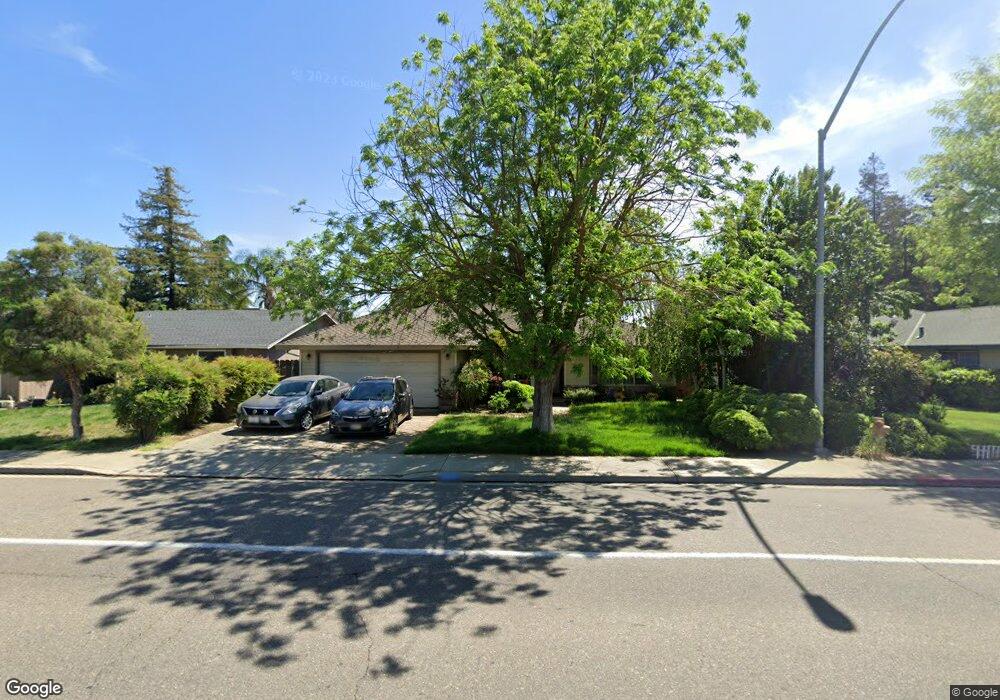
1020 Georgetown Ave Turlock, CA 95382
Estimated Value: $275,000 - $449,000
3
Beds
2
Baths
1,458
Sq Ft
$269/Sq Ft
Est. Value
About This Home
This home is located at 1020 Georgetown Ave, Turlock, CA 95382 and is currently estimated at $391,778, approximately $268 per square foot. 1020 Georgetown Ave is a home located in Stanislaus County with nearby schools including Walter M. Brown Elementary School, Turlock Junior High School, and Marvin A. Dutcher Middle School.
Ownership History
Date
Name
Owned For
Owner Type
Purchase Details
Closed on
Apr 18, 2013
Sold by
Department Of Veterans Affairs
Bought by
Sahlstrom Jeffrey R
Current Estimated Value
Purchase Details
Closed on
Feb 21, 1996
Sold by
Ramos Monica
Bought by
Sahlstrom Jeffrey R
Home Financials for this Owner
Home Financials are based on the most recent Mortgage that was taken out on this home.
Original Mortgage
$25,000
Interest Rate
7.04%
Create a Home Valuation Report for This Property
The Home Valuation Report is an in-depth analysis detailing your home's value as well as a comparison with similar homes in the area
Purchase History
| Date | Buyer | Sale Price | Title Company |
|---|---|---|---|
| Sahlstrom Jeffrey R | -- | None Available | |
| Sahlstrom Jeffrey R | -- | North American Title Co |
Source: Public Records
Mortgage History
| Date | Status | Borrower | Loan Amount |
|---|---|---|---|
| Previous Owner | Sahlstrom Jeffrey R | $25,000 |
Source: Public Records
Tax History
| Year | Tax Paid | Tax Assessment Tax Assessment Total Assessment is a certain percentage of the fair market value that is determined by local assessors to be the total taxable value of land and additions on the property. | Land | Improvement |
|---|---|---|---|---|
| 2025 | $1,837 | $177,978 | $50,707 | $127,271 |
| 2024 | $1,801 | $174,489 | $49,713 | $124,776 |
| 2023 | $1,797 | $171,069 | $48,739 | $122,330 |
| 2022 | $1,773 | $167,716 | $47,784 | $119,932 |
| 2021 | $1,745 | $164,429 | $46,848 | $117,581 |
| 2020 | $1,733 | $162,744 | $46,368 | $116,376 |
| 2019 | $1,702 | $159,554 | $45,459 | $114,095 |
| 2018 | $1,699 | $156,426 | $44,568 | $111,858 |
| 2017 | $1,658 | $153,360 | $43,695 | $109,665 |
| 2016 | $1,547 | $150,354 | $42,839 | $107,515 |
| 2015 | $1,532 | $148,097 | $42,196 | $105,901 |
| 2014 | $1,516 | $145,197 | $41,370 | $103,827 |
Source: Public Records
Map
Nearby Homes
- 2621 Dels Ln
- 3072 Radford Way
- 3068 Radford Way
- 1465 W Tuolumne Rd
- 517 W Tuolumne Rd
- 2755 N Walnut Rd Unit 114
- 3036 Andre Ln
- 2241 Rochelle Ave
- 3148 Andre Ln
- 1481 Bluethroat Dr
- 2900 Andre Ln Unit 241
- 1114 Kay Cir
- 2140 Rochelle Ave
- 1186 Kay Cir
- 1444 Waterthrush Way
- 3503 Telluride Ln
- 2140 Georgia Way
- 2091 State St
- 2192 Royal Wood Ln
- 2470 Sea Lion Way
- 1030 Georgetown Ave
- 1010 Georgetown Ave
- 2710 Oxford Ave
- 1040 Georgetown Ave
- 1000 Georgetown Ave
- 981 Georgetown Ave
- 1001 Georgetown Ave
- 1050 Georgetown Ave
- 2725 Yale Ave
- 2755 Yale Ave
- 961 Georgetown Ave
- 2705 Oxford Ave
- 2690 Oxford Ave
- 2705 Yale Ave
- 941 Georgetown Ave
- 1060 Georgetown Ave
- 1021 Georgetown Ave
- 2710 Northwestern Ct
- 2695 Oxford Ave
- 2730 Northwestern Ct
Your Personal Tour Guide
Ask me questions while you tour the home.