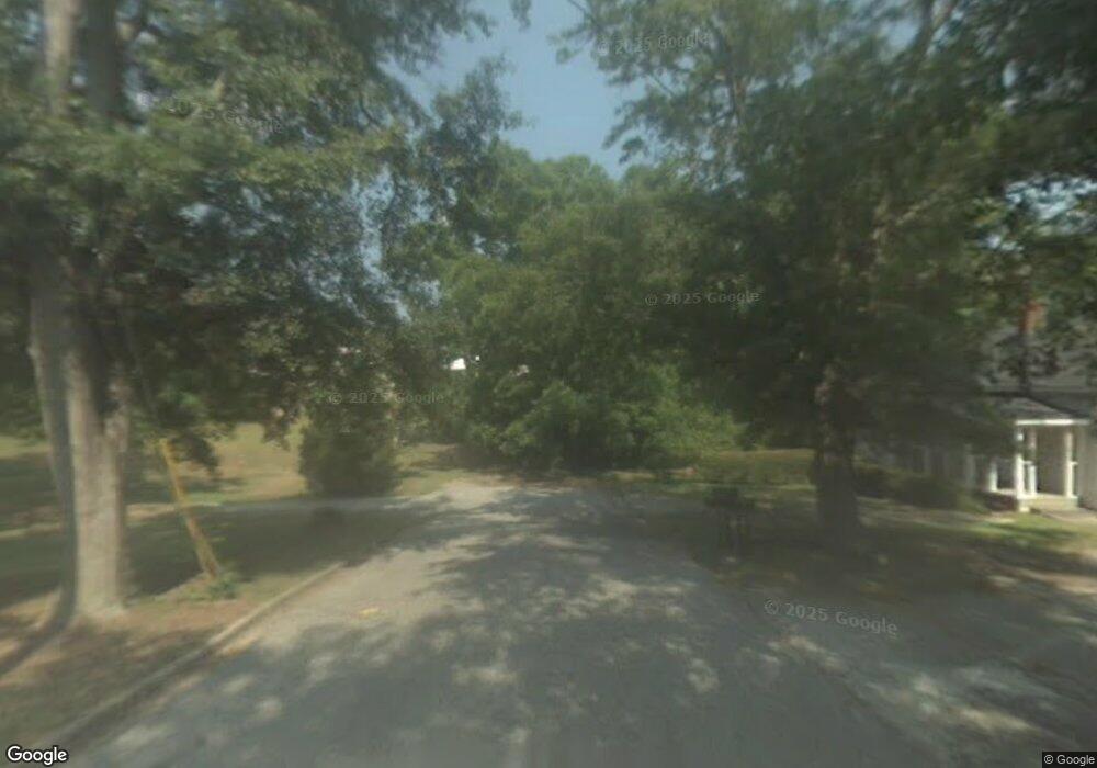
1020 Green St NE Conyers, GA 30012
Estimated Value: $617,561
--
Bed
--
Bath
4,321
Sq Ft
$143/Sq Ft
Est. Value
About This Home
This home is located at 1020 Green St NE, Conyers, GA 30012 and is currently estimated at $617,561, approximately $142 per square foot. 1020 Green St NE is a home located in Rockdale County with nearby schools including Hicks Elementary School, Edwards Middle School, and Salem High School.
Ownership History
Date
Name
Owned For
Owner Type
Purchase Details
Closed on
Feb 27, 2007
Sold by
Holt Stevie D
Bought by
Watson Howell and Watson Inez
Current Estimated Value
Home Financials for this Owner
Home Financials are based on the most recent Mortgage that was taken out on this home.
Original Mortgage
$241,500
Outstanding Balance
$145,375
Interest Rate
6.16%
Mortgage Type
New Conventional
Estimated Equity
$472,186
Purchase Details
Closed on
Jan 20, 2000
Sold by
Farmer Lewis B
Bought by
Holt Stevie D
Home Financials for this Owner
Home Financials are based on the most recent Mortgage that was taken out on this home.
Original Mortgage
$150,000
Interest Rate
8.02%
Mortgage Type
Commercial
Create a Home Valuation Report for This Property
The Home Valuation Report is an in-depth analysis detailing your home's value as well as a comparison with similar homes in the area
Home Values in the Area
Average Home Value in this Area
Purchase History
| Date | Buyer | Sale Price | Title Company |
|---|---|---|---|
| Watson Howell | $345,000 | -- | |
| Holt Stevie D | -- | -- |
Source: Public Records
Mortgage History
| Date | Status | Borrower | Loan Amount |
|---|---|---|---|
| Open | Watson Howell | $241,500 | |
| Previous Owner | Holt Stevie D | $150,000 |
Source: Public Records
Tax History Compared to Growth
Tax History
| Year | Tax Paid | Tax Assessment Tax Assessment Total Assessment is a certain percentage of the fair market value that is determined by local assessors to be the total taxable value of land and additions on the property. | Land | Improvement |
|---|---|---|---|---|
| 2024 | $6,791 | $124,360 | $72,840 | $51,520 |
| 2023 | $5,887 | $103,960 | $55,200 | $48,760 |
| 2022 | $5,496 | $96,200 | $55,200 | $41,000 |
| 2021 | $5,224 | $90,480 | $55,200 | $35,280 |
| 2020 | $5,577 | $90,480 | $55,200 | $35,280 |
| 2019 | $5,162 | $80,160 | $55,200 | $24,960 |
| 2018 | $3,614 | $80,160 | $55,200 | $24,960 |
| 2017 | $5,009 | $79,280 | $55,200 | $24,080 |
| 2016 | $5,042 | $79,280 | $55,200 | $24,080 |
| 2015 | $3,612 | $79,280 | $55,200 | $24,080 |
| 2014 | $3,650 | $79,280 | $55,200 | $24,080 |
| 2013 | -- | $100,960 | $69,000 | $31,960 |
Source: Public Records
Map
Nearby Homes
- 948 Peek St NW
- 954 Bryant St SW
- 214 Seward St Unit 94
- 1070 Barton St NW
- 902 Andrews Dr NW
- 2022 Appaloosa Way
- 990 Oakland Ave SE
- 893 Andrews Dr NW
- 1068 N Main St NW
- 1065 Milstead Ave NE
- 1087 N Main St NW
- 1128 Milstead Ave NE
- 2048 Appaloosa Way
- 1204 Lakeview Dr NW
- 1110 Oakland Ave SE
- 1150 Tinsley Dr NW
- 1200 Wilson Ct NW
- 1020 Green St SW Unit 272/16
- 1020 Green St SW
- 1020 Green St NE Unit 272/16
- 1012 Green St SW
- 1004 Green St SW
- 1000 Peek St NW
- 974 West Ave SW
- 1011 Peek St NW
- 1025 Railroad St NW
- 1068 West Ave SW
- 999 Peek St NW Unit 997
- 999 Peek St NW
- 1029 Railroad St NW
- 0 Almand St NW Unit 3199099
- 0 Almand St NW Unit 8072364
- 990 Peek St NW
- 0 No St
- 991 Peek St NW
- 990 Green St SW
- 0 Institute St NW Unit 7560097
