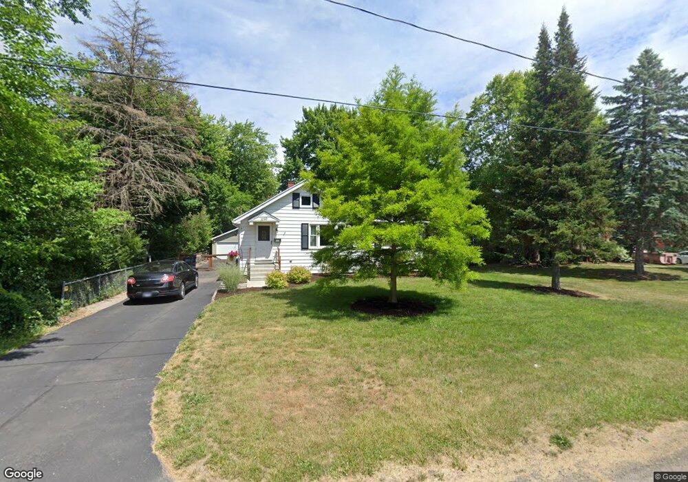
1020 Harrow Rd Toledo, OH 43615
Reynolds Corners NeighborhoodEstimated Value: $113,000 - $174,000
3
Beds
1
Bath
1,008
Sq Ft
$137/Sq Ft
Est. Value
About This Home
This home is located at 1020 Harrow Rd, Toledo, OH 43615 and is currently estimated at $137,719, approximately $136 per square foot. 1020 Harrow Rd is a home located in Lucas County with nearby schools including McTigue Elementary School, Rogers High School, and Horizon Science Academy-Springfield.
Ownership History
Date
Name
Owned For
Owner Type
Purchase Details
Closed on
Jul 2, 2004
Sold by
Silcox Martha and Hoffman Kathy D
Bought by
Brownfield Christopher and Brownfield April N
Current Estimated Value
Home Financials for this Owner
Home Financials are based on the most recent Mortgage that was taken out on this home.
Original Mortgage
$112,000
Outstanding Balance
$55,587
Interest Rate
6.12%
Mortgage Type
Purchase Money Mortgage
Estimated Equity
$82,132
Purchase Details
Closed on
Dec 27, 2002
Sold by
Silcox Martha
Bought by
Hoffman Kathy D and Warnott Kay
Create a Home Valuation Report for This Property
The Home Valuation Report is an in-depth analysis detailing your home's value as well as a comparison with similar homes in the area
Home Values in the Area
Average Home Value in this Area
Purchase History
| Date | Buyer | Sale Price | Title Company |
|---|---|---|---|
| Brownfield Christopher | $118,000 | -- | |
| Hoffman Kathy D | -- | -- |
Source: Public Records
Mortgage History
| Date | Status | Borrower | Loan Amount |
|---|---|---|---|
| Open | Brownfield Christopher | $112,000 |
Source: Public Records
Tax History Compared to Growth
Tax History
| Year | Tax Paid | Tax Assessment Tax Assessment Total Assessment is a certain percentage of the fair market value that is determined by local assessors to be the total taxable value of land and additions on the property. | Land | Improvement |
|---|---|---|---|---|
| 2024 | $1,073 | $32,830 | $8,400 | $24,430 |
| 2023 | $1,815 | $26,075 | $7,700 | $18,375 |
| 2022 | $1,796 | $26,075 | $7,700 | $18,375 |
| 2021 | $1,858 | $26,075 | $7,700 | $18,375 |
| 2020 | $1,959 | $24,115 | $8,330 | $15,785 |
| 2019 | $1,888 | $24,115 | $8,330 | $15,785 |
| 2018 | $1,923 | $24,115 | $8,330 | $15,785 |
| 2017 | $1,909 | $23,590 | $8,155 | $15,435 |
| 2016 | $1,927 | $67,400 | $23,300 | $44,100 |
| 2015 | $1,948 | $67,400 | $23,300 | $44,100 |
| 2014 | $2,226 | $23,600 | $8,160 | $15,440 |
| 2013 | $1,484 | $23,600 | $8,160 | $15,440 |
Source: Public Records
Map
Nearby Homes
- 4860 Airport Hwy
- 1101 Sawyer Rd
- 5805 Fryer Ave
- 5665 Camberley Dr
- 1925 Olimphia Rd
- 428 Deline Dr
- 1916 Birkdale Rd
- 1930 Birkdale Rd
- 5331 Fleet Rd
- 1709 Acorn Dr
- 1966 Devinci Dr
- 1911 N Holland Sylvania Rd
- 2113 Broadstone Rd
- 5051 Wissman Rd
- 5057 Brandon Rd
- 5041 Ancil Rd
- 419 N Holland Sylvania Rd
- 2004 Oakside Rd
- 5029 Kellogg Rd
- 2015 Oakside Rd