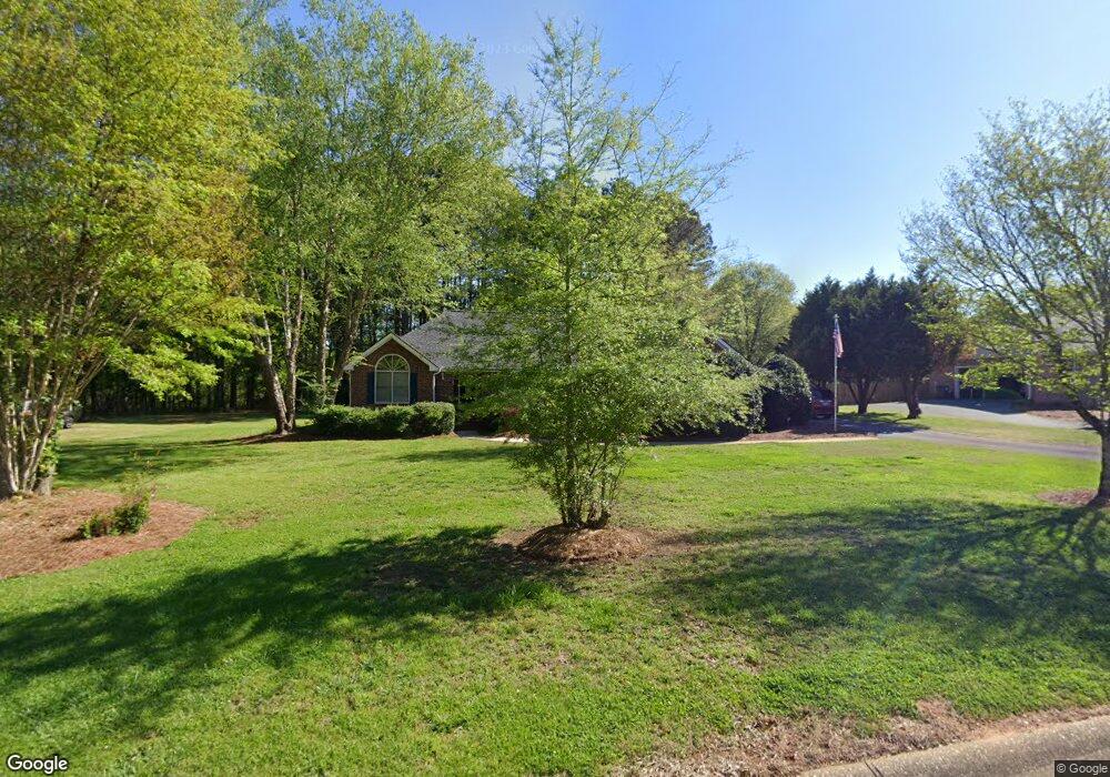
1020 Harrowford Rd N Statham, GA 30666
Estimated Value: $438,833 - $518,000
--
Bed
--
Bath
2,247
Sq Ft
$221/Sq Ft
Est. Value
About This Home
This home is located at 1020 Harrowford Rd N, Statham, GA 30666 and is currently estimated at $496,708, approximately $221 per square foot. 1020 Harrowford Rd N is a home located in Oconee County with nearby schools including Rocky Branch Elementary School, Malcom Bridge Middle School, and North Oconee High School.
Ownership History
Date
Name
Owned For
Owner Type
Purchase Details
Closed on
Jun 19, 2024
Sold by
Davis Christopher C
Bought by
Christopher Charles Davis Living Trust and Davis Christopher Charles Trust
Current Estimated Value
Purchase Details
Closed on
Jul 11, 2022
Sold by
Dorsey Katie
Bought by
Davis Christopher C
Purchase Details
Closed on
Apr 30, 1998
Sold by
Garrett Garrett R and Garrett H
Bought by
Davis Christopher C
Purchase Details
Closed on
Apr 1, 1997
Sold by
Baker Leon
Bought by
Garrett Garrett R and Garrett H
Purchase Details
Closed on
Oct 19, 1995
Bought by
Baker Leon
Create a Home Valuation Report for This Property
The Home Valuation Report is an in-depth analysis detailing your home's value as well as a comparison with similar homes in the area
Home Values in the Area
Average Home Value in this Area
Purchase History
| Date | Buyer | Sale Price | Title Company |
|---|---|---|---|
| Christopher Charles Davis Living Trust | -- | -- | |
| Davis Christopher C | -- | -- | |
| Davis Christopher C | -- | -- | |
| Davis Christopher C | $159,900 | -- | |
| Garrett Garrett R | $117,900 | -- | |
| Baker Leon | $14,000 | -- |
Source: Public Records
Tax History Compared to Growth
Tax History
| Year | Tax Paid | Tax Assessment Tax Assessment Total Assessment is a certain percentage of the fair market value that is determined by local assessors to be the total taxable value of land and additions on the property. | Land | Improvement |
|---|---|---|---|---|
| 2024 | $3,002 | $160,931 | $30,000 | $130,931 |
| 2023 | $3,002 | $145,708 | $22,000 | $123,708 |
| 2022 | $2,751 | $128,763 | $22,000 | $106,763 |
| 2021 | $2,448 | $106,384 | $22,000 | $84,384 |
| 2020 | $2,059 | $89,428 | $18,000 | $71,428 |
| 2019 | $2,048 | $88,947 | $18,000 | $70,947 |
| 2018 | $2,011 | $85,551 | $18,000 | $67,551 |
| 2017 | $1,881 | $80,071 | $18,000 | $62,071 |
| 2016 | $1,866 | $79,448 | $18,000 | $61,448 |
| 2015 | $1,869 | $79,425 | $18,000 | $61,425 |
| 2014 | $1,705 | $70,942 | $18,000 | $52,942 |
| 2013 | -- | $68,767 | $18,000 | $50,767 |
Source: Public Records
Map
Nearby Homes
- 1080 Ashland Dr
- LOT 10 Sikes Rd
- LOT 9 Sikes Rd
- LOT 8 Sikes Rd
- LOT 7 Sikes Rd
- LOT 6 Sikes Rd
- LOT 5 Sikes Rd
- LOT 4 Sikes Rd
- LOT 3 Sikes Rd
- LOT 2 Sikes Rd
- LOT 1 Sikes Rd
- 1471 Sikes Rd
- 1296 Club Estates Rd
- N/A Hog Mountain Rd
- 1901 Hog Mountain Rd
- 1921 Hog Mountain Rd
- 2492 Rambling Rill Dr
- 4611 Monroe Hwy - Hwy 78
- 4611 Monroe Hwy - Hwy 78 Unit PARCEL C
- 2986 Coralbell Dr
- 1010 Harrowford Dr N
- 1030 Harrowford Rd N
- 1030 Harrowford Dr N
- 1010 Harrowford Rd N
- 1031 Harrowford Dr N
- 1031 Harrowford Rd N
- 1011 Harrowford Dr N
- 1100 Bernard Garrett Rd
- 1100 Bernard Garrett Rd
- 1011 Harrowford Rd N
- 1151 Garrett Rd
- 1041 Harrowford Rd N
- 1041 Harrowford Dr N
- 1040 Garrett Rd
- 1100 Garrett Rd
- 1061 Harrowford Dr N
- 1150 Garrett Rd
- 1071 Garrett Rd
- N Harrowford Dr N
- 1061 Harrowford Rd N