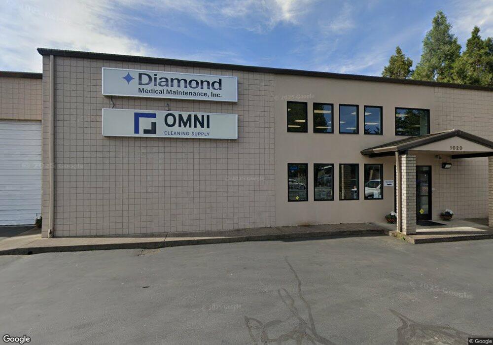
1020 Knutson Ave Medford, OR 97504
Estimated Value: $1,201,096
--
Bed
--
Bath
8,512
Sq Ft
$141/Sq Ft
Est. Value
About This Home
This home is located at 1020 Knutson Ave, Medford, OR 97504 and is currently estimated at $1,201,096, approximately $141 per square foot. 1020 Knutson Ave is a home located in Jackson County with nearby schools including Wilson Elementary School, Hedrick Middle School, and North Medford High School.
Ownership History
Date
Name
Owned For
Owner Type
Purchase Details
Closed on
Feb 1, 2016
Sold by
Pautz Darryl R and Pautz Linda B
Bought by
Lightsaber Properties Llc
Current Estimated Value
Home Financials for this Owner
Home Financials are based on the most recent Mortgage that was taken out on this home.
Original Mortgage
$525,000
Interest Rate
3.65%
Mortgage Type
Commercial
Create a Home Valuation Report for This Property
The Home Valuation Report is an in-depth analysis detailing your home's value as well as a comparison with similar homes in the area
Home Values in the Area
Average Home Value in this Area
Purchase History
| Date | Buyer | Sale Price | Title Company |
|---|---|---|---|
| Lightsaber Properties Llc | $700,000 | First American |
Source: Public Records
Mortgage History
| Date | Status | Borrower | Loan Amount |
|---|---|---|---|
| Previous Owner | Lightsaber Properties Llc | $525,000 |
Source: Public Records
Tax History Compared to Growth
Tax History
| Year | Tax Paid | Tax Assessment Tax Assessment Total Assessment is a certain percentage of the fair market value that is determined by local assessors to be the total taxable value of land and additions on the property. | Land | Improvement |
|---|---|---|---|---|
| 2025 | $12,673 | $873,860 | $276,230 | $597,630 |
| 2024 | $12,673 | $848,410 | $268,180 | $580,230 |
| 2023 | $12,285 | $823,700 | $260,370 | $563,330 |
| 2022 | $11,985 | $823,700 | $260,370 | $563,330 |
| 2021 | $11,675 | $799,710 | $252,790 | $546,920 |
| 2020 | $11,229 | $753,810 | $238,280 | $515,530 |
| 2019 | $11,195 | $734,250 | $231,880 | $502,370 |
| 2018 | $10,907 | $698,000 | $220,640 | $477,360 |
| 2017 | $10,587 | $698,000 | $220,640 | $477,360 |
| 2016 | $10,733 | $671,960 | $212,200 | $459,760 |
| 2015 | $10,411 | $675,130 | $113,990 | $561,140 |
| 2014 | -- | $636,380 | $107,450 | $528,930 |
Source: Public Records
Map
Nearby Homes
- 246 Reanna Way
- 2252 Table Rock Rd Unit 128
- 2252 Table Rock Rd Unit 97
- 2252 Table Rock Rd Unit SPC 102
- 2252 Table Rock Rd Unit SPC 228
- 2252 Table Rock Rd Unit SPC 100
- 2252 Table Rock Rd Unit SPC 232
- 529 Black Bear Dr
- 2215 Poplar Dr Unit 2
- 3937 Wyoming Ln
- 2336 Table Rock Rd
- 450 Midway Rd Unit 16
- 450 Midway Rd Unit 5
- 2573 Merriman Rd Unit 3300
- 2587 Merriman Rd Unit 3200
- 2621 Merriman Rd Unit 3000
- 1448 Carolyn Cir
- 2108 Table Rock Rd
- 2605 Merriman Rd Unit 3101
- 2772 Merriman Rd
- 1050 Knutson Ave Unit 201
- 1050 Knutson Ave
- 2770 Biddle Rd
- 2720 Biddle Rd
- 0 Knutson Ave
- 1017 Knutson Ave
- 2713 Biddle Rd
- 0 Fisher Ave
- 1083 Knutson Ave
- 1125 Knutson Ave
- 1163 Knutson Ave
- 1010 Fisher Ave
- 1150 Knutson Ave Unit 9
- 1150 Knutson Ave Unit 11
- 1150 Knutson Ave Unit 8-9
- 1150 Knutson Ave Unit 10
- 1150 Knutson Ave Unit 8
- 1150 Knutson Ave
- 1150 Knutson Ave Unit 6
- 1150 Knutson Ave Unit 4