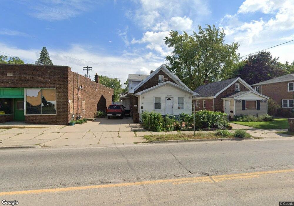
1020 Lake Lansing Rd Lansing, MI 48906
Northtown NeighborhoodEstimated Value: $140,000 - $212,000
5
Beds
3
Baths
2,184
Sq Ft
$78/Sq Ft
Est. Value
About This Home
This home is located at 1020 Lake Lansing Rd, Lansing, MI 48906 and is currently estimated at $170,162, approximately $77 per square foot. 1020 Lake Lansing Rd is a home located in Ingham County with nearby schools including Gier Park School, Pattengill Academy, and Eastern High School.
Ownership History
Date
Name
Owned For
Owner Type
Purchase Details
Closed on
Oct 15, 2015
Sold by
Kaur Jasbir
Bought by
Singh Mandeep
Current Estimated Value
Purchase Details
Closed on
Oct 1, 2010
Sold by
Cena Frank and Cena Carmella
Bought by
Kaur Jasbir
Purchase Details
Closed on
Nov 9, 1999
Sold by
Rulison Leroy B and Rulison Augusta W
Bought by
Passarelli Crist and Passarelli Julia
Create a Home Valuation Report for This Property
The Home Valuation Report is an in-depth analysis detailing your home's value as well as a comparison with similar homes in the area
Home Values in the Area
Average Home Value in this Area
Purchase History
| Date | Buyer | Sale Price | Title Company |
|---|---|---|---|
| Singh Mandeep | -- | None Available | |
| Kaur Jasbir | $165,000 | None Available | |
| Passarelli Crist | $500 | -- |
Source: Public Records
Tax History Compared to Growth
Tax History
| Year | Tax Paid | Tax Assessment Tax Assessment Total Assessment is a certain percentage of the fair market value that is determined by local assessors to be the total taxable value of land and additions on the property. | Land | Improvement |
|---|---|---|---|---|
| 2025 | $2,691 | $72,100 | $2,300 | $69,800 |
| 2024 | $21 | $57,000 | $2,300 | $54,700 |
| 2023 | $2,524 | $48,900 | $2,300 | $46,600 |
| 2022 | $2,277 | $43,400 | $2,400 | $41,000 |
| 2021 | $2,229 | $39,700 | $2,300 | $37,400 |
| 2020 | $2,216 | $37,600 | $2,300 | $35,300 |
| 2019 | $2,170 | $35,100 | $2,300 | $32,800 |
| 2018 | $1,990 | $33,300 | $2,300 | $31,000 |
| 2017 | $1,905 | $33,300 | $2,300 | $31,000 |
| 2016 | $1,801 | $32,700 | $2,300 | $30,400 |
| 2015 | $1,801 | $31,900 | $4,654 | $27,246 |
| 2014 | $1,801 | $31,700 | $4,654 | $27,046 |
Source: Public Records
Map
Nearby Homes
- 1016 Lake Lansing Rd
- 1810 N High St
- 0 Lake Lansing Rd Unit 289258
- 1017 Whyte St
- 2318 N High St
- 1811 Vermont Ave
- 1624 N High St
- 1613 Massachusetts Ave
- 1919 N East St
- 1530 New York Ave
- 1527 Massachusetts Ave
- 801 Banghart St
- 1415 New York Ave
- V/L (1036) N Larch St
- 1317 Illinois Ave
- 1141 Farrand St
- 430 Pearl St
- 2508 Gary Ave
- 1102 Persons Ct
- 1312 Otto St
- 2007 New York Ave
- 1010 Lake Lansing Rd
- 2003 New York Ave
- 2012 New York Ave
- 1925 New York Ave
- 2008 New York Ave
- 1002 Lake
- 1021 Lake Lansing Rd
- 1002 Lake Lansing Rd
- 2004 New York Ave
- 1923 New York Ave
- 1110 Lake Lansing Rd
- 1103 Lake Lansing Rd
- 1107 David St
- 2106 N High St
- David St
- 1111 Lake Lansing Rd
- 2112 N High St
- 1924 New York Ave
- 1920 N High St