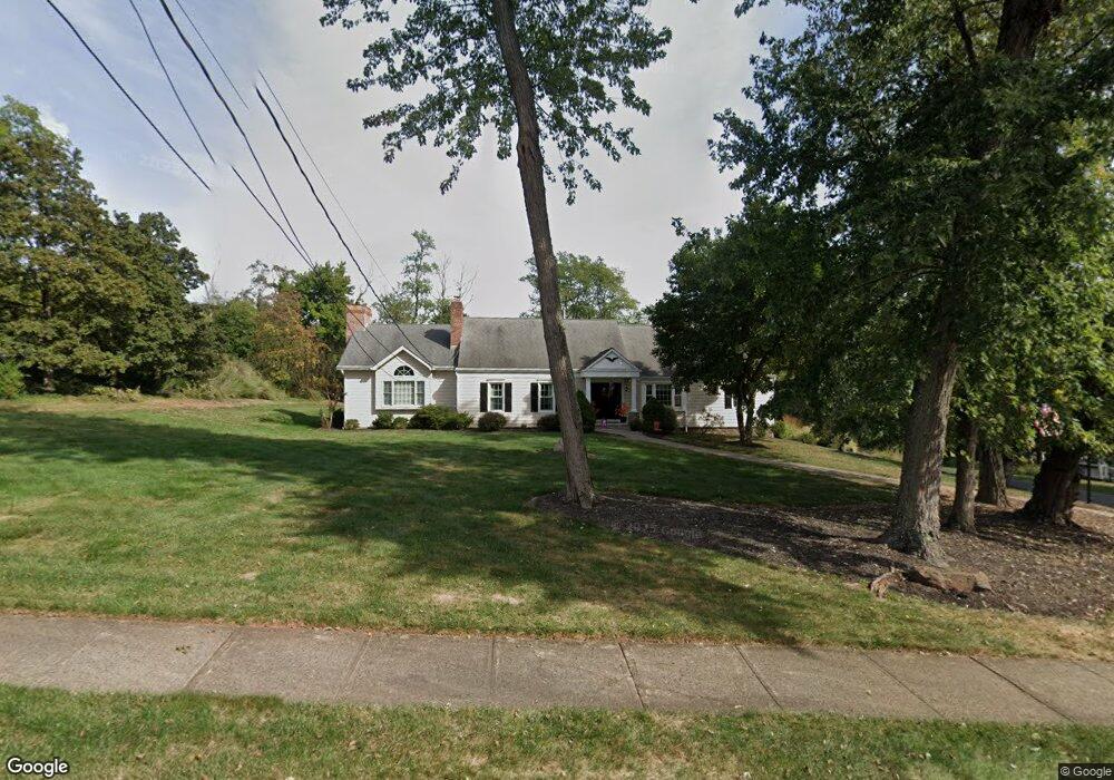
1020 Laurel Trail Martinsville, NJ 08836
Estimated Value: $775,000 - $945,000
--
Bed
--
Bath
3,186
Sq Ft
$272/Sq Ft
Est. Value
About This Home
This home is located at 1020 Laurel Trail, Martinsville, NJ 08836 and is currently estimated at $866,327, approximately $271 per square foot. 1020 Laurel Trail is a home located in Somerset County with nearby schools including Crim Primary School, Bridgewater-Raritan Middle School, and Hillside Intermediate School.
Ownership History
Date
Name
Owned For
Owner Type
Purchase Details
Closed on
May 19, 2003
Sold by
Benner Douglas
Bought by
Rumain Brian and Rumain Lisa
Current Estimated Value
Home Financials for this Owner
Home Financials are based on the most recent Mortgage that was taken out on this home.
Original Mortgage
$374,000
Outstanding Balance
$163,376
Interest Rate
5.86%
Estimated Equity
$702,951
Create a Home Valuation Report for This Property
The Home Valuation Report is an in-depth analysis detailing your home's value as well as a comparison with similar homes in the area
Home Values in the Area
Average Home Value in this Area
Purchase History
| Date | Buyer | Sale Price | Title Company |
|---|---|---|---|
| Rumain Brian | $495,000 | -- |
Source: Public Records
Mortgage History
| Date | Status | Borrower | Loan Amount |
|---|---|---|---|
| Open | Rumain Brian | $374,000 |
Source: Public Records
Tax History Compared to Growth
Tax History
| Year | Tax Paid | Tax Assessment Tax Assessment Total Assessment is a certain percentage of the fair market value that is determined by local assessors to be the total taxable value of land and additions on the property. | Land | Improvement |
|---|---|---|---|---|
| 2025 | $13,704 | $713,000 | $303,900 | $409,100 |
| 2024 | $13,704 | $703,500 | $303,900 | $399,600 |
| 2023 | $12,370 | $623,500 | $303,900 | $319,600 |
| 2022 | $11,951 | $579,600 | $303,900 | $275,700 |
| 2021 | $11,167 | $533,700 | $303,900 | $229,800 |
| 2020 | $11,159 | $530,600 | $303,900 | $226,700 |
| 2019 | $11,167 | $526,000 | $303,900 | $222,100 |
| 2018 | $11,041 | $521,300 | $303,900 | $217,400 |
| 2017 | $10,740 | $506,600 | $303,900 | $202,700 |
| 2016 | $10,561 | $505,800 | $303,900 | $201,900 |
| 2015 | $10,226 | $490,000 | $303,900 | $186,100 |
| 2014 | $10,152 | $479,100 | $303,900 | $175,200 |
Source: Public Records
Map
Nearby Homes
- 2105 Washington Valley Rd
- 2044 Washington Valley Rd
- 2072 Arbor Way
- 2138 Washington Valley Rd
- 5 Bittle Ct
- 108 Loft Dr
- 112 Loft Dr Unit II112
- 44 Loft Dr
- 769 Chimney Rock Rd
- 4 Loft Dr Unit 4
- 7 Tower Rd
- 1899 Washington Valley Rd
- 1 Dock Watch Hollow Rd
- 64 Sneider Rd
- 3 Brookside Dr
- 10 Assante Ln
- 5 Brookside Dr
- 9 Brookside Dr
- 552 Stangle Rd
- 1831 Washington Valley Rd
- 1016 Laurel Trail
- 1028 Laurel Trail
- 1021 Laurel Trail
- 1027 Laurel Trail
- 1017 Laurel Trail
- 1034 Laurel Trail
- 1033 Laurel Trail
- 1012 Laurel Trail
- 2076 Washington Valley Rd
- 1013 Laurel Trail
- 2091 Primrose Ln
- 2092 Washington Valley Rd
- 2072 Washington Valley Rd
- 2096 Washington Valley Rd
- 784 van Nest Dr
- 2103 Primrose Ln
- 2068 Washington Valley Rd
- 776 van Nest Dr
- 1007 Laurel Trail
- 2100 Washington Valley Rd